Green River
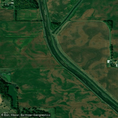
Green River
- Boat Ramps
- 0
- Access Points
- 0
- Campsites
- 3
The Green River in northwestern Illinois flows approximately 90 miles through a landscape of agricultural fields and wooded corridors before joining the Rock River near the town of Colona in Henry County. Originating in the uplands of southern Bureau County, the river charts a generally westward course through Lee County, then turns northwest as it enters Whiteside County before making its final approach through Henry County to its confluence. This tributary system drains a substantial portion of the region's farmland, and its character reflects this agricultural setting.
The river typically maintains modest flows through most of the year, with spring runoff from snowmelt and seasonal rains providing the most reliable paddling conditions. Summer and fall often see reduced water levels that can make navigation challenging or impossible in shallower stretches. Paddlers who time their trips during adequate water levels will find a meandering stream with occasional riffles and a predominantly flatwater character.
The river passes through a mix of open farmland and riparian woodlands, with cottonwoods, willows, and silver maples dominating the streamside vegetation. Wildlife common to Illinois waterways can be observed, including great blue herons, kingfishers, wood ducks, and various songbirds in the wooded sections. White-tailed deer frequently appear along the banks, particularly during early morning or evening paddles.
Access to the Green River requires local knowledge, as formal public launch sites are limited. Small-town bridges in the counties it traverses provide potential put-in and take-out locations, though paddlers should verify property ownership and access permissions. The communities of Geneseo in Henry County and nearby rural areas serve as the closest population centers for trip planning and supplies.
The river's flow can be unpredictable, and logjams or strainers pose hazards in narrower sections where fallen trees accumulate. Spring paddling brings the additional consideration of cold water temperatures and potentially swift currents during flood conditions. Local gauge readings and recent precipitation reports are essential for trip planning.
Historically, the Green River valley supported Native American settlements and later served the agricultural development that transformed the region. The waterway remains primarily a local resource, offering those willing to scout conditions and plan carefully a quiet paddle through the Illinois countryside away from more heavily trafficked waterways. Multi-day expeditions are theoretically possible during optimal conditions, though the limited infrastructure and variable water levels make the Green River better suited to day trips by paddlers comfortable with remote, less-developed stream environments.
Water access, boat ramps & amenities
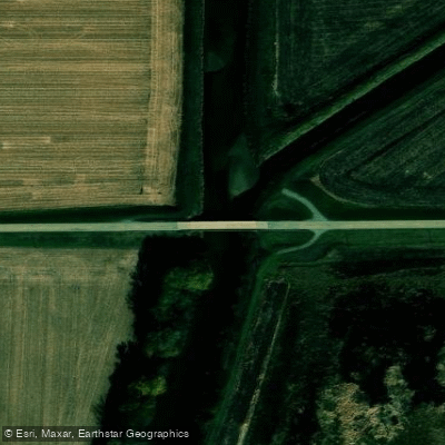
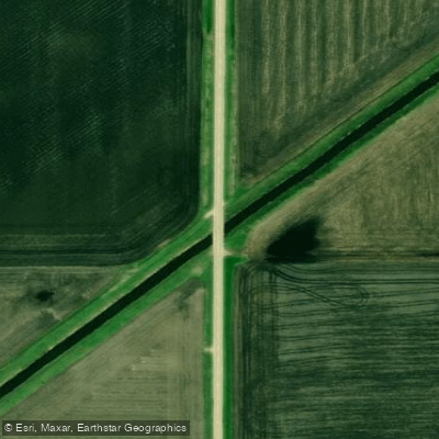
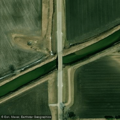
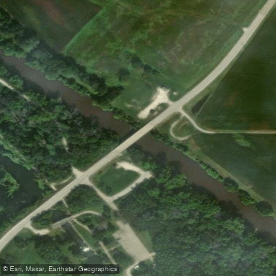
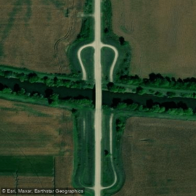
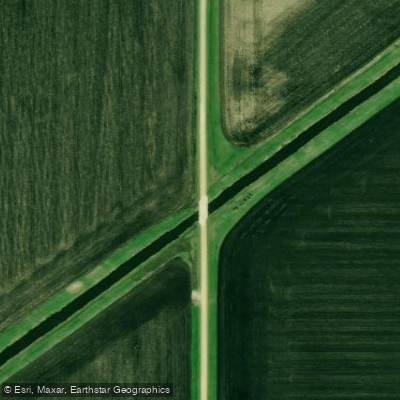
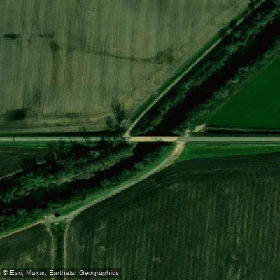
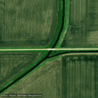
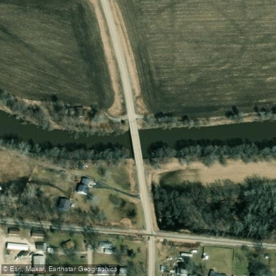
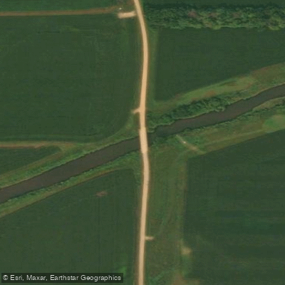
Learn how to get on Green River. Uncover great paddling access points, boat ramps, and all the facilities you need for an unforgettable day on the water. Some locations shown may border or include private property. Always check property boundaries and applicable regulations before visiting. PaddleWays's Public & Private Land layer can help you plan your access with confidence.
Paddle smarter with real-time insights
Whether you're en route and conditions shift or you're looking for the best spot based on current flows, we enable you to make informed decisions on the fly.








Find Places to Paddle

Over 400,000 Places to Paddle
Every user gets free access to launch points, boat ramps, and public property parcels.


Water and weather conditions (10 day forecast)
See the best times to paddle Green River and check the forecast before you go.
GREEN RIVER NEAR GENESEO, IL
Paddling near Green River

Mississippi River

Rock River
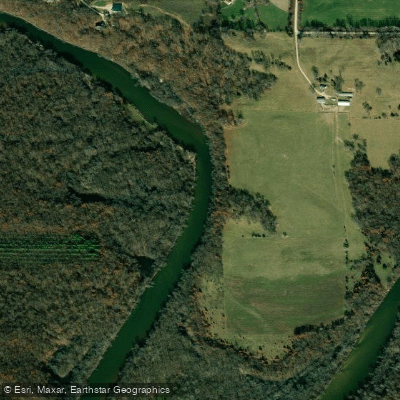
Wapsipinicon River
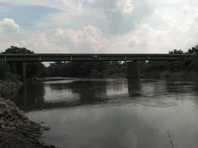
Maquoketa River
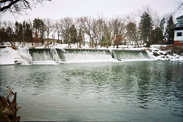
Cedar River
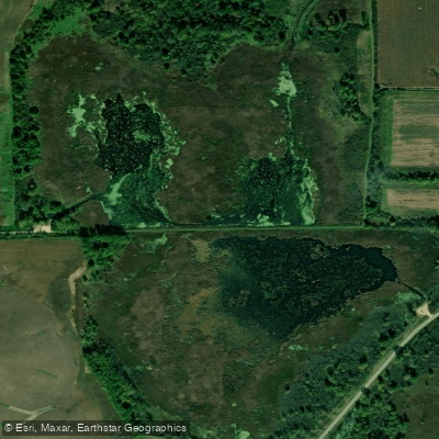
Goose Lake
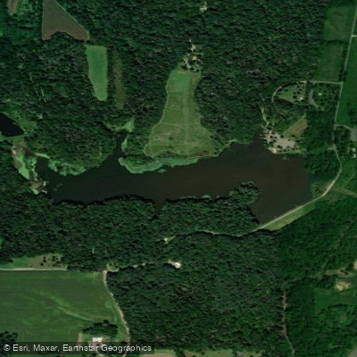
Lake Carlton
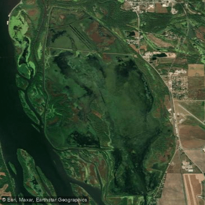
Spring Lake
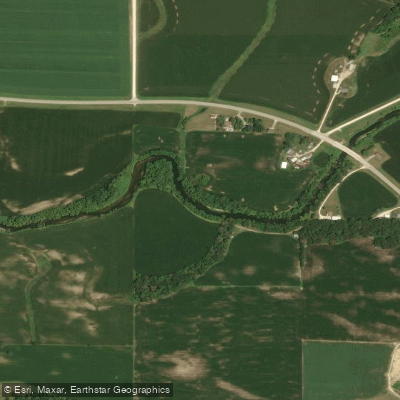
North Fork Maquoketa River
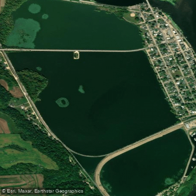
Sabula Lakes
Explore Illinois waters
Top paddling waters
Popular Cities
Loading popular cities...
Explore near Green River
Access points
Nearby waters
More in Illinois

Smarter Paddling Starts in the App.
Paddleways gives you everything you need to plan smarter, paddle better, and own every trip from first launch to takeout.