Iowa River
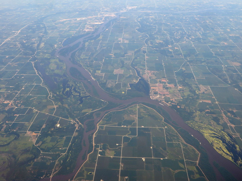
Iowa River
- Boat Ramps
- 27
- Access Points
- 68
- Campsites
- 16
The Iowa River is a significant waterway in eastern Iowa, originating near Blairsburg and flowing southeast for approximately 330 miles before joining the Mississippi River near Oakville. Major tributaries include the Cedar River, which joins the Iowa River near Columbus Junction. The river offers diverse paddling opportunities, with several distinct sections catering to different skill levels. The upper reaches near Iowa Falls provide scenic flatwater paddling, while the stretch from Iowa City to the Mississippi River offers 72 miles of unobstructed paddling through beautiful scenery and small towns. Difficulty ranges from flatwater to Class II, making it suitable for beginners to intermediate paddlers.
The river is generally calm, with occasional riffles and minor rapids, particularly in the upper sections. Paddlers should be prepared for potential obstacles such as log jams and downed trees in some areas. Spring and early summer typically offer the best water levels for paddling, though the lower sections can be enjoyed throughout much of the year. Late summer and fall may have lower water levels, especially in the upper reaches.
The river corridor supports diverse wildlife, including bald eagles, which are frequently spotted along the banks. Paddlers should keep an eye out for eagle nests, particularly in the lower sections. Notable landmarks include the scenic limestone bluffs in the upper reaches, the urban stretch through Iowa City, and the wide, meandering lower section as the river approaches the Mississippi.
Key access points include Iowa Falls, Iowa City, Hills, Columbus Junction, and Wapello. These towns offer amenities and serve as convenient put-in or take-out locations for day trips or longer excursions.
The Iowa River played a crucial role in the state's development, serving as a transportation route for early settlers and supporting numerous mills and industries along its banks. Today, it remains an important recreational resource and ecological corridor.
Safety considerations include checking water levels before paddling, being aware of potential logjams or strainers, and watching for increased barge traffic as you approach the Mississippi River confluence. Life jackets are required by law. For those seeking multi-day adventures, the 72-mile stretch from Iowa City to the Mississippi offers excellent opportunities for overnight trips, with numerous access points and camping options along the way. This section typically takes 3-5 days to complete, depending on paddling speed and stops.
Water access, boat ramps & amenities
Learn how to get on Iowa River. Uncover great paddling access points, boat ramps, and all the facilities you need for an unforgettable day on the water. Some locations shown may border or include private property. Always check property boundaries and applicable regulations before visiting. PaddleWays's Public & Private Land layer can help you plan your access with confidence.
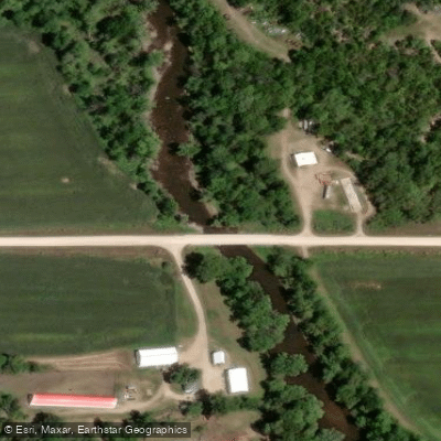
Sylvan Hill Access
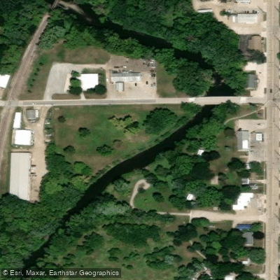
River Park Access
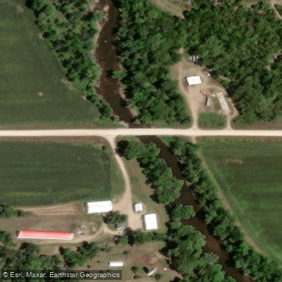
Hardin City Access
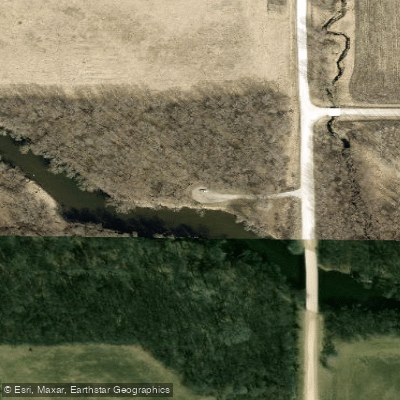
Biglow Park Access
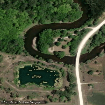
Cross' Ford Access
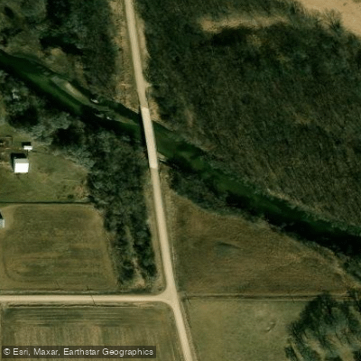
Dows Park Access
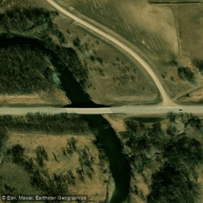
Snarl Street Wildlife Area Access
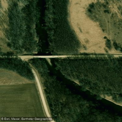
Groom Wildlife Area Access
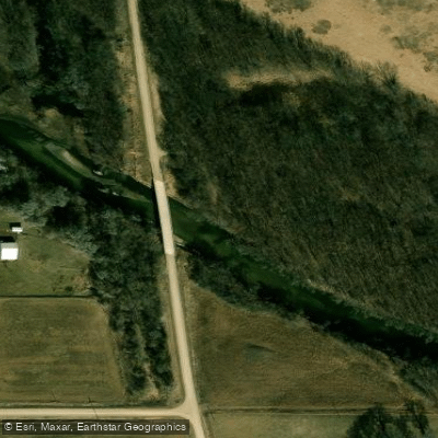
Vanderlip Access
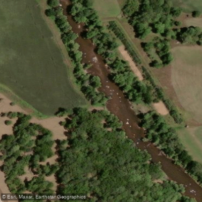
Fallen Rock Access
Paddle smarter with real-time insights
Whether you're en route and conditions shift or you're looking for the best spot based on current flows, we enable you to make informed decisions on the fly.








Find Places to Paddle

Over 400,000 Places to Paddle
Every user gets free access to launch points, boat ramps, and public property parcels.


Water and weather conditions (10 day forecast)
See the best times to paddle Iowa River and check the forecast before you go.
Iowa River at Steamboat Rock, IA
All Flow Stations
Paddling near Iowa River
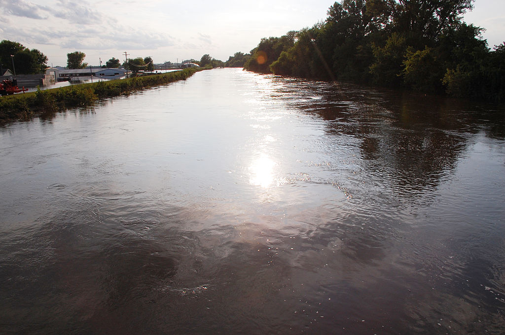
South Skunk River
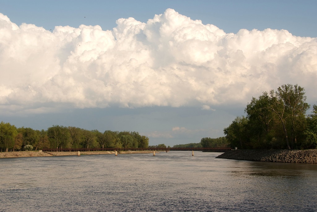
Lake Red Rock
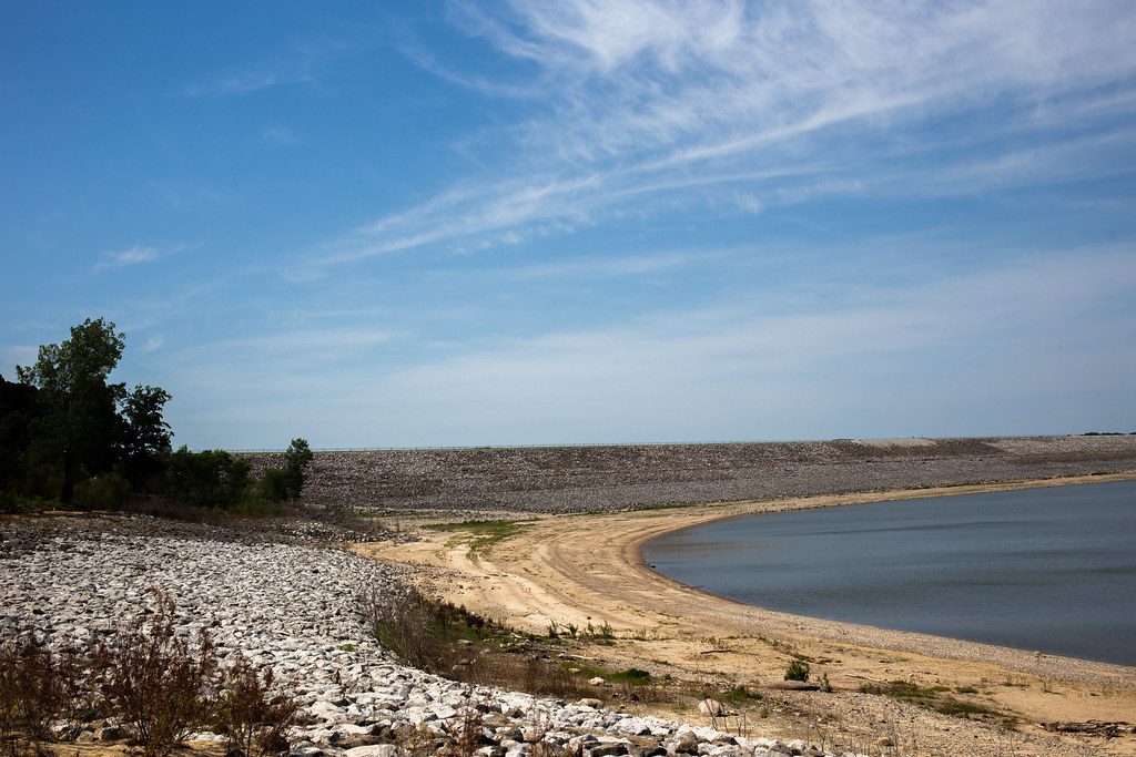
Saylorville Lake
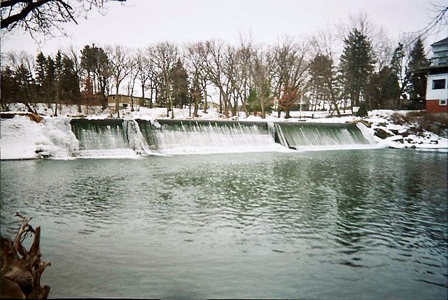
Cedar River
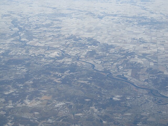
Des Moines River
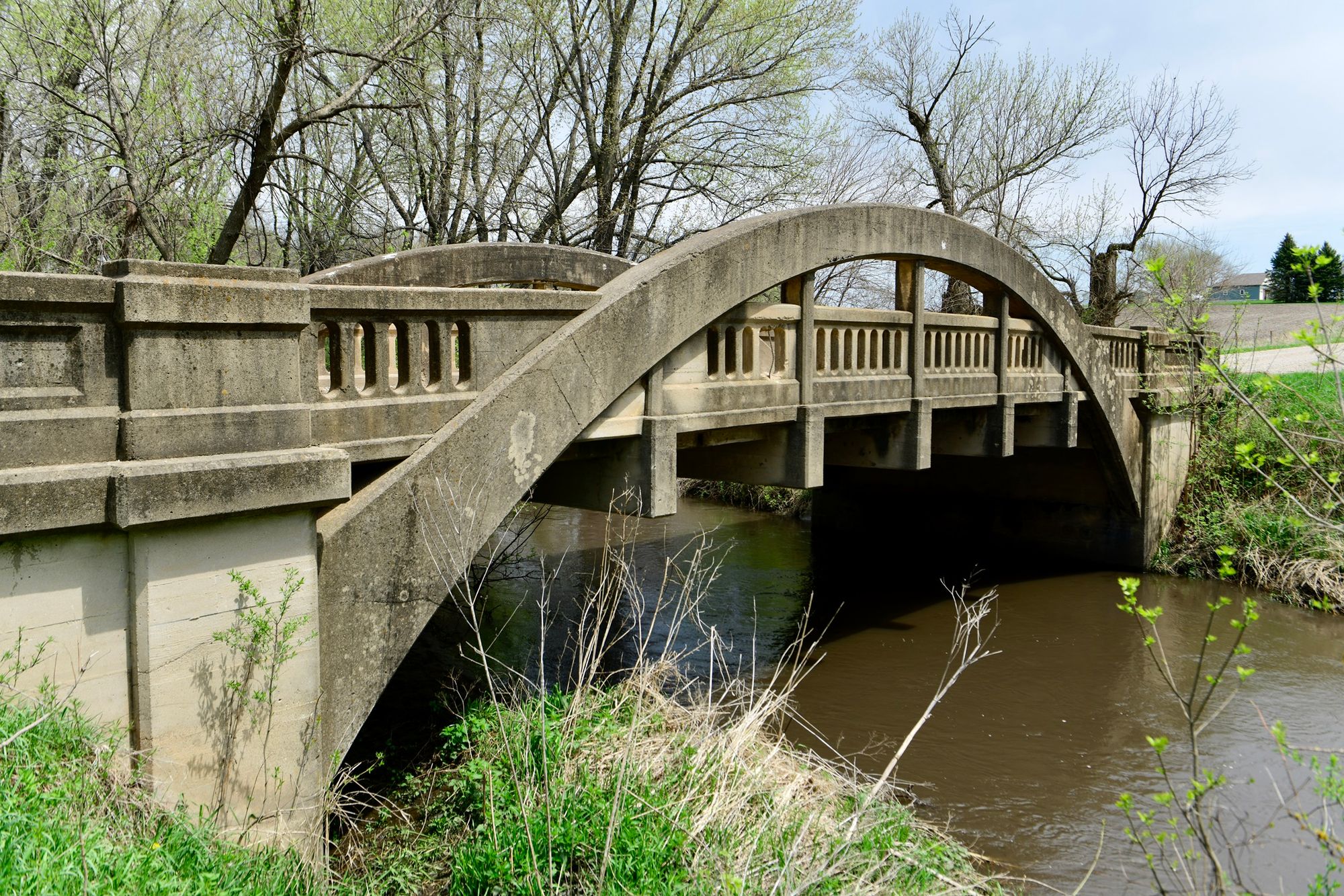
Big Creek
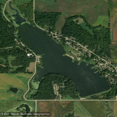
Union Grove Lake
Rock Creek Lake
North Skunk River
Explore Illinois waters
Top paddling waters
Popular Cities
Loading popular cities...
Explore near Iowa River
Access points
Nearby waters
More in Illinois

Smarter Paddling Starts in the App.
Paddleways gives you everything you need to plan smarter, paddle better, and own every trip from first launch to takeout.