Lake Marie
Lake Marie
- Boat Ramps
- 7
- Access Points
- 7
- Campsites
- 19
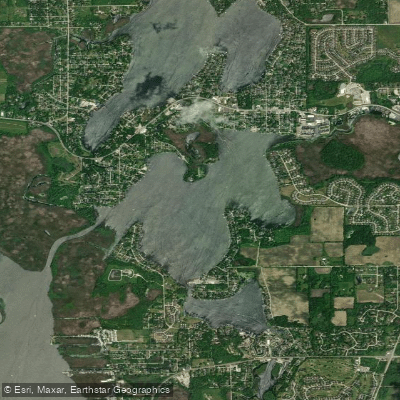
Lake Marie is located in northwestern Lake County, Illinois, between Channel Lake and Route 173. It is part of the Chain O'Lakes system, connected to other lakes by the Fox River and man-made channels. Paddlers can access Lake Marie via Chain O'Lakes State Park, which offers free entry (though a Fox Waterway Agency fee may apply). The park provides two concrete boat ramps suitable for launching kayaks and canoes.
Powerboats, sailboats, and other watercraft are permitted on Lake Marie, creating a busy environment during summer months. Small boat operators should exercise caution and always wear a personal flotation device, as high-speed powerboats frequently pass through the area. Navigation buoys mark the main boating channels.
For a longer paddling excursion, it's possible to travel between multiple lakes in the Chain O'Lakes system. From the State Park, paddlers can head north to Lake Marie or south to explore Nippersink Lake, Fox Lake, and Pistakee Lake. The interconnected waterways offer several days' worth of paddling opportunities across 6,500 acres of water.
Lake Marie supports a diverse fish population, including channel catfish, yellow bass, carp, yellow perch, bluegill, largemouth bass, crappie, walleye, northern pike, and muskellunge. Fishing from kayaks or canoes is popular, with weekdays recommended for a quieter experience.
The surrounding landscape features fresh water bogs, river bluffs, and gently sloping hills. In autumn, cherry elm, birch, and sumac trees provide colorful scenery. Wildflowers bloom in warmer seasons, adding to the lake's natural beauty.
Facilities at Chain O'Lakes State Park include canoe and rowboat rentals for those without their own watercraft. The park serves as a convenient base for exploring Lake Marie and the broader Chain O'Lakes system.
Water access, boat ramps & amenities
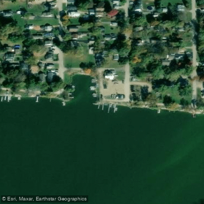
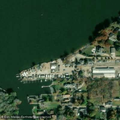
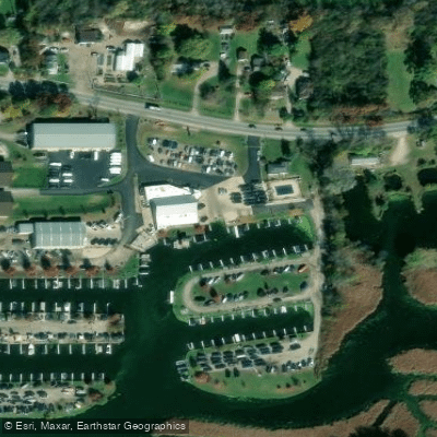
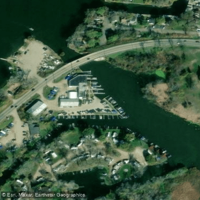
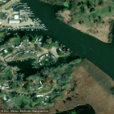
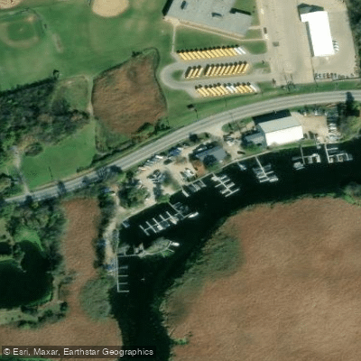
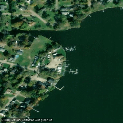
Learn how to get on Lake Marie. Uncover great paddling access points, boat ramps, and all the facilities you need for an unforgettable day on the water. Some locations shown may border or include private property. Always check property boundaries and applicable regulations before visiting. PaddleWays's Public & Private Land layer can help you plan your access with confidence.
Paddle smarter with real-time insights
Whether you're en route and conditions shift or you're looking for the best spot based on current flows, we enable you to make informed decisions on the fly.








Find Places to Paddle

Over 400,000 Places to Paddle
Every user gets free access to launch points, boat ramps, and public property parcels.


Water and weather conditions (10 day forecast)
See the best times to paddle Lake Marie and check the forecast before you go.
CHANNEL LAKE NEAR ANTIOCH, IL
Paddling near Lake Marie

Lake Michigan
Fox River
Kishwaukee River
Root River

Rock River
Bark River
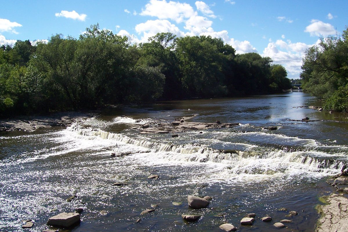
Milwaukee River
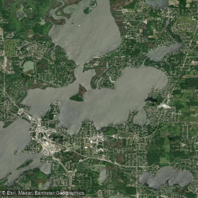
Nippersink Lake
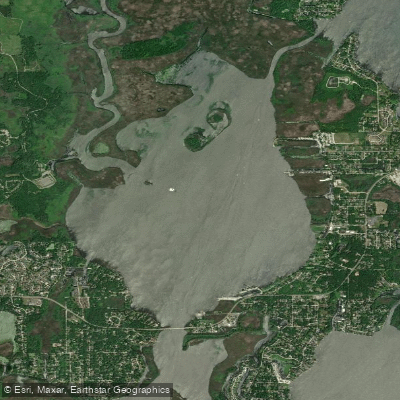
Grass Lake
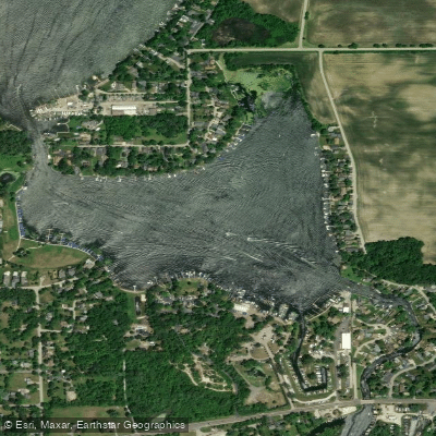
Bluff Lake
Explore Illinois waters
Top paddling waters
Popular Cities
Loading popular cities...
Explore near Lake Marie
Access points
- Fox Chain O'Lakes Boat Ramp
- Fox Chain O'Lakes Boat Ramp
- Sequoit Harbor Boat Ramp
- Lake Marie Your Boat Club Boat Ramp
- Fox Chain O'Lakes Boat Ramp
- Lake Marie Marina Boat Ramp
- Chain O' Lakes Boat Ramp
- W-way Inlet Bluff Lk Bridge
- Trevor Creek Bridge
- Fox River Bridge
- Fox River Bridge
- Nippersink Creek Bridge
- All 39 spots
Nearby waters
More in Illinois

Smarter Paddling Starts in the App.
Paddleways gives you everything you need to plan smarter, paddle better, and own every trip from first launch to takeout.