Saint Joseph River
Saint Joseph River
- Boat Ramps
- 35
- Access Points
- 42
- Campsites
- 4
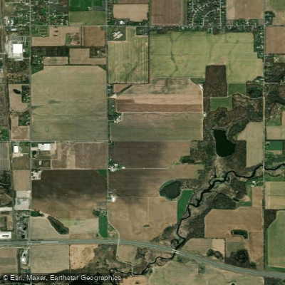
The Saint Joseph River is a significant waterway that flows through portions of Indiana, Michigan, and Ohio. Originating in southern Michigan's Hillsdale County, the river flows southwest into Indiana before turning north and re-entering Michigan, ultimately emptying into Lake Michigan at St. Joseph. The main stem stretches approximately 206 miles, with major tributaries including the Elkhart River and Dowagiac River.
Paddling opportunities abound along the Saint Joseph, offering a mix of urban and rural experiences. The river is primarily flatwater, making it suitable for canoeists and kayakers of various skill levels. Popular sections include the Fort Wayne area in Indiana, the stretch from South Bend to Niles, and the lower reaches from Niles to Lake Michigan. The difficulty level is generally easy to moderate, with slow-moving water and occasional mild rapids. However, paddlers should be aware of several dams along the route that require portaging. The river is best paddled from late spring through early fall, with summer offering the most reliable water levels and pleasant conditions.
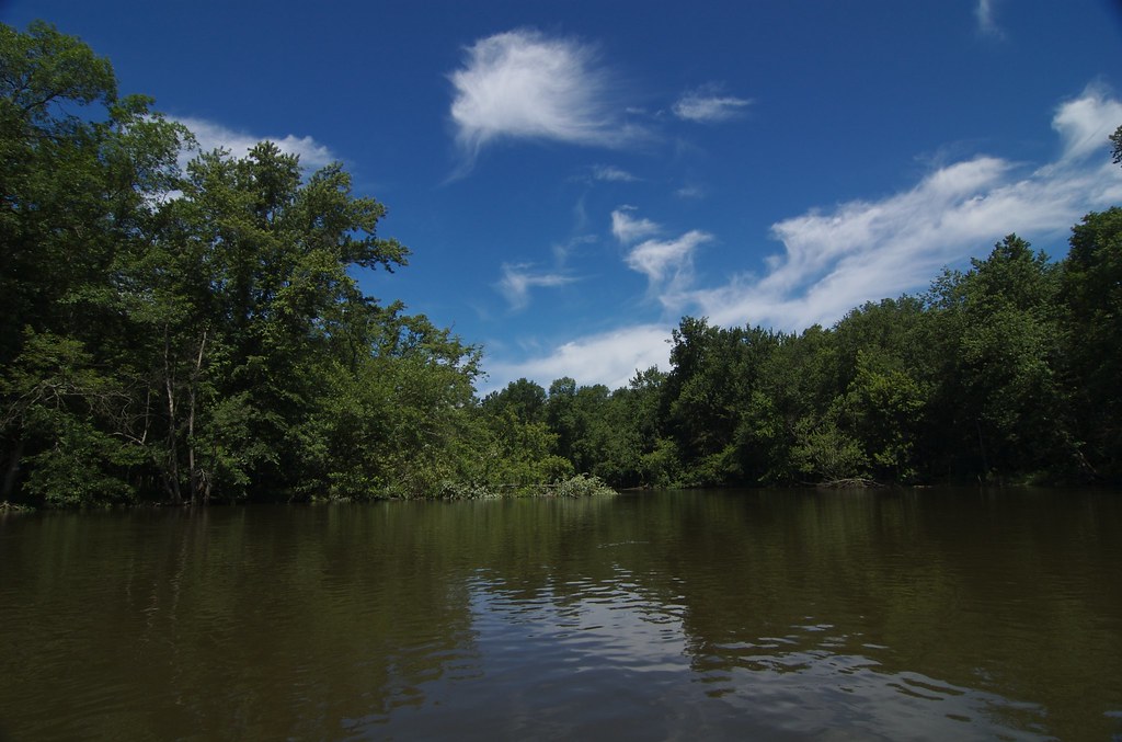
Flora along the banks includes a mix of deciduous forests and agricultural lands. Wildlife sightings may include bald eagles, great blue herons, and various fish species. The river supports a diverse aquatic ecosystem and is known for its salmon and steelhead runs.
Key landmarks include the East Race Waterway in South Bend, a man-made whitewater course, and the historic Spencerville Covered Bridge near Fort Wayne. Urban stretches offer views of city skylines, while rural sections provide a peaceful escape into nature. Major access points are available in Fort Wayne, South Bend, and Niles, with numerous smaller put-ins and take-outs along the route. The river passes through or near several population centers, including Elkhart, Mishawaka, and St. Joseph/Benton Harbor.
Historically, the Saint Joseph River played a crucial role in the region's development, serving as a transportation route for Native Americans and early European settlers. Today, it remains an important recreational and ecological resource.
Safety considerations include being aware of dam locations, checking water levels before paddling, and watching for occasional motorboat traffic, especially in urban areas. Some sections may require permits or have specific regulations, so paddlers should check local guidelines.
For those seeking a multi-day adventure, the 67-mile stretch from Niles to Lake Michigan offers an excellent opportunity, with several access points and camping options along the way. This section typically takes 3-4 days to complete, allowing paddlers to fully immerse themselves in the river's changing landscapes and rich natural beauty.
Water access, boat ramps & amenities
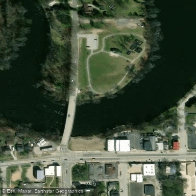
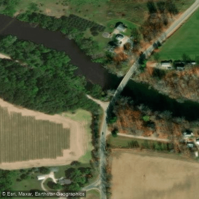
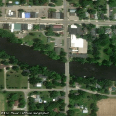
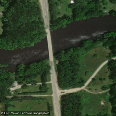
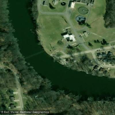
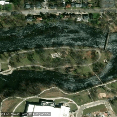
Learn how to get on Saint Joseph River. Uncover great paddling access points, boat ramps, and all the facilities you need for an unforgettable day on the water. Some locations shown may border or include private property. Always check property boundaries and applicable regulations before visiting. PaddleWays's Public & Private Land layer can help you plan your access with confidence.
Paddle smarter with real-time insights
Whether you're en route and conditions shift or you're looking for the best spot based on current flows, we enable you to make informed decisions on the fly.








Find Places to Paddle

Over 400,000 Places to Paddle
Every user gets free access to launch points, boat ramps, and public property parcels.


Water and weather conditions (10 day forecast)
See the best times to paddle Saint Joseph River and check the forecast before you go.
ST. JOSEPH RIVER AT BURLINGTON, MI
All Flow Stations
Paddling near Saint Joseph River
Kalamazoo River

Lake Michigan
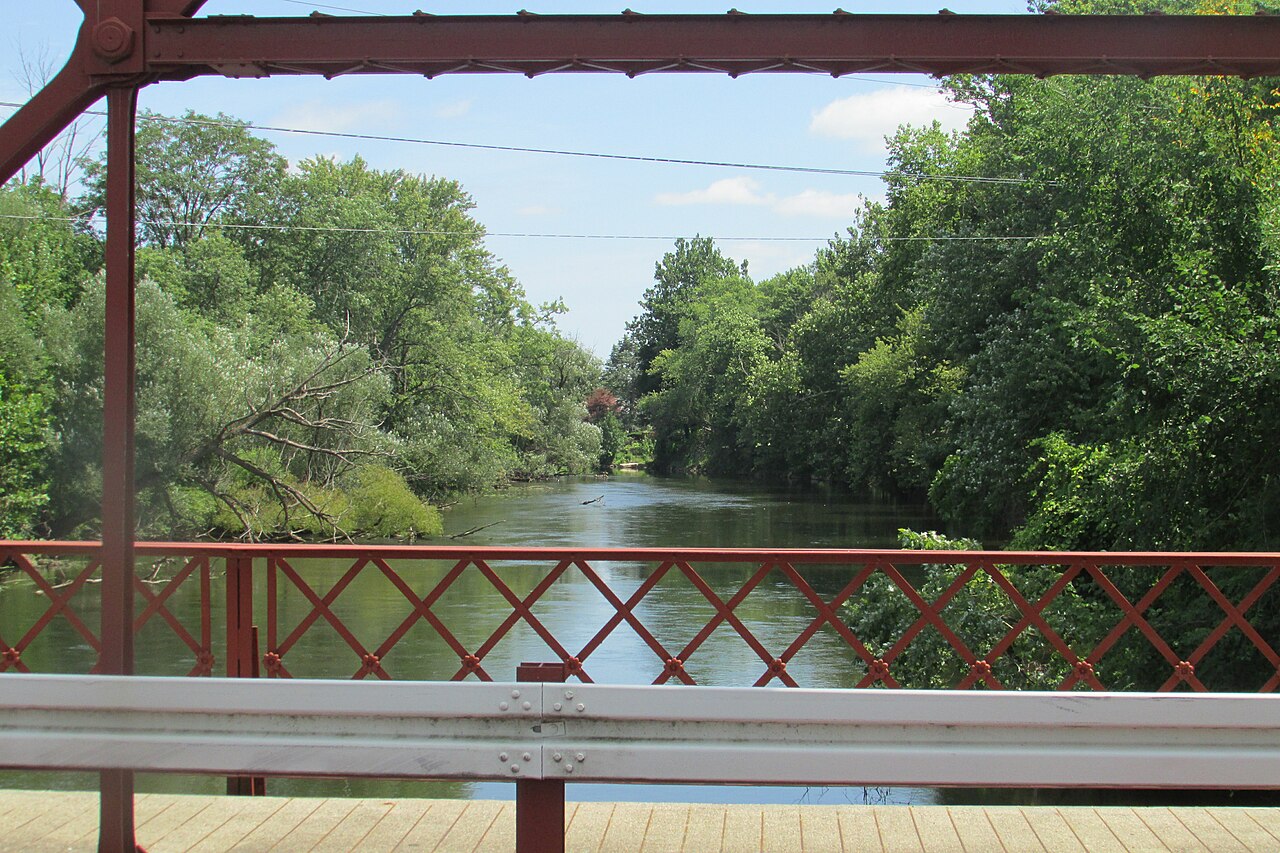
Elkhart River
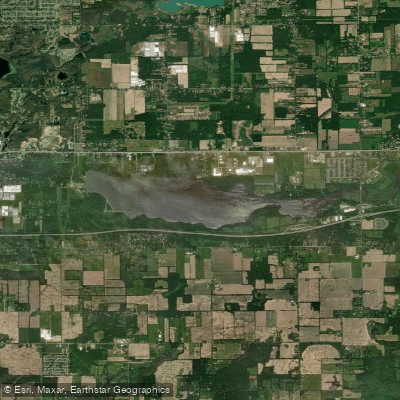
Morrow Lake
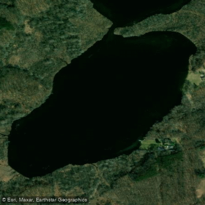
Hogset Lake
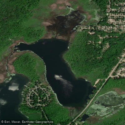
Sugarloaf Lake
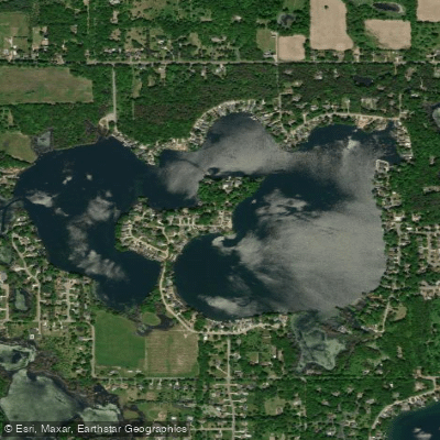
Eagle Lake
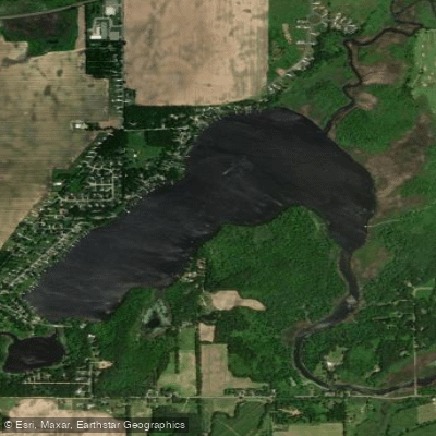
Barton Lake
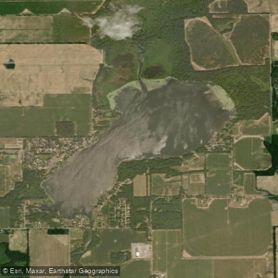
Portage Lake
Explore Indiana waters
Top paddling waters
Popular Cities
Loading popular cities...
Explore near Saint Joseph River
Access points
- St. Joseph River Boat Ramp
- Johnny Appleseed Boat Ramp
- Mendon Boat Ramp
- St. Joseph River Hand Boat Launch
- Shoaff Park Boat Ramp
- St. Joseph River Canoe Launch
- Jasper Dairy Road Boat Ramp
- Boat Ramp
- Spencerville Boat Ramp
- St. Joseph River Park Boat Ramp
- Woodlawn Park Boat Ramp
- St. Joseph River Canoe Launch
- All 478 spots
Nearby waters
More in Indiana

Smarter Paddling Starts in the App.
Paddleways gives you everything you need to plan smarter, paddle better, and own every trip from first launch to takeout.