Elkhart River
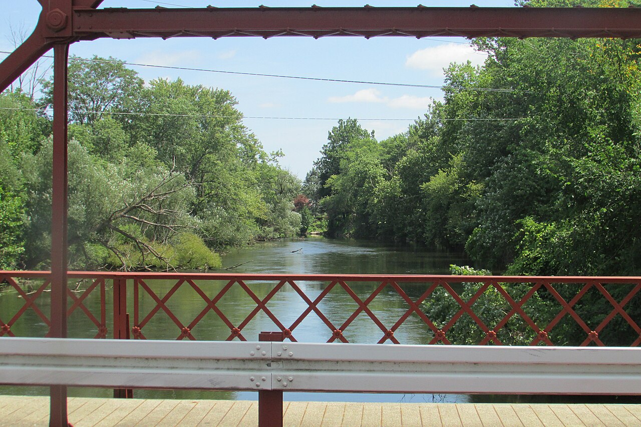
Elkhart River
- Boat Ramps
- 9
- Access Points
- 18
- Campsites
- 4
The Elkhart River is a scenic waterway in northern Indiana, originating as two branches that merge and flow northwest before joining the St. Joseph River in the city of Elkhart. This shallow, slow-moving river meanders through a diverse landscape of farmland, woodland, and urban areas, offering paddlers a unique blend of natural beauty and cultural interest. The river's course spans approximately 50 miles from its headwaters near Wolcottville to its confluence with the St. Joseph River. Along its journey, the Elkhart River passes through Noble and Elkhart counties, draining a significant watershed in the region.
Paddling opportunities abound on the Elkhart River, with several popular sections catering to various skill levels. The stretch from Goshen to Ox Bow County Park is a favorite among locals, offering a 4.1-mile urban paddle with surprisingly abundant wildlife. Further upstream, the North Branch near Wolcottville provides a more secluded 6.4-mile trip through dense forest, complete with portages around fallen trees that add a touch of adventure. Generally classified as flatwater, the Elkhart River is suitable for novice to intermediate paddlers. However, occasional obstacles like log jams require basic maneuvering skills. The river is best paddled in spring and early summer when water levels are optimal, though it remains navigable through much of the year.
The Elkhart River's ecosystem supports a diverse array of wildlife. Paddlers may spot sandhill cranes nesting along the banks, and river otters have been making a comeback in recent years. The upper reaches of the river are flanked by extensive marshlands, comprising the largest remaining wetland area in Indiana and providing excellent opportunities for wildlife viewing.
Key access points include Rogers Park in Goshen, Ox Bow County Park between Goshen and Elkhart, and various locations in Ligonier. These access points are well-maintained and often offer amenities like parking and restrooms.
Historically, the river was named by Native Americans for an island they believed resembled an elk's heart. Today, it plays a vital role in the region's recreational offerings and serves as a reminder of the area's natural heritage.
Safety considerations include being aware of potential log jams, especially after heavy rains. Paddlers should also be mindful of the river's urban sections, where man-made structures may pose hazards.
For those seeking a longer adventure, multi-day trips can be arranged from Ligonier to Elkhart, covering nearly 30 miles of diverse river landscapes. This journey offers a comprehensive experience of the Elkhart River's charm, from its rural upper reaches to its more developed lower sections.
Water access, boat ramps & amenities
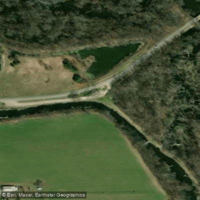
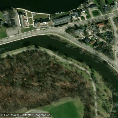
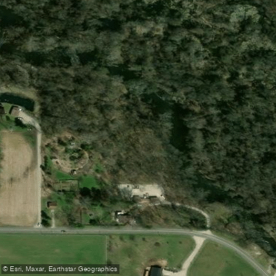
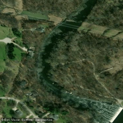
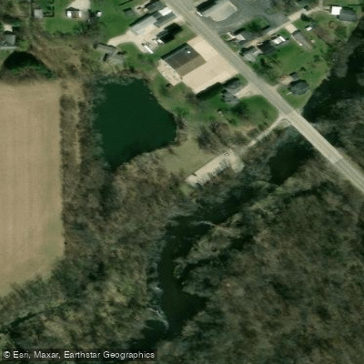
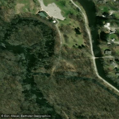
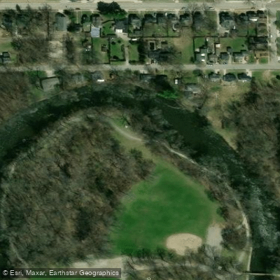
Learn how to get on Elkhart River. Uncover great paddling access points, boat ramps, and all the facilities you need for an unforgettable day on the water. Some locations shown may border or include private property. Always check property boundaries and applicable regulations before visiting. PaddleWays's Public & Private Land layer can help you plan your access with confidence.

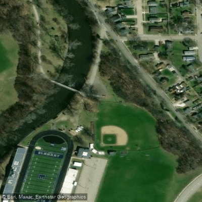
Paddle smarter with real-time insights
Whether you're en route and conditions shift or you're looking for the best spot based on current flows, we enable you to make informed decisions on the fly.








Find Places to Paddle

Over 400,000 Places to Paddle
Every user gets free access to launch points, boat ramps, and public property parcels.


Water and weather conditions (10 day forecast)
See the best times to paddle Elkhart River and check the forecast before you go.
ST. JOSEPH RIVER AT ELKHART, IN
All Flow Stations
Paddling near Elkhart River
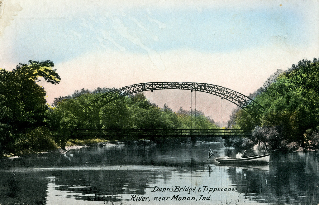
Tippecanoe River
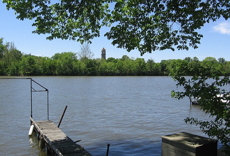
Kankakee River

Lake Michigan
Eel River
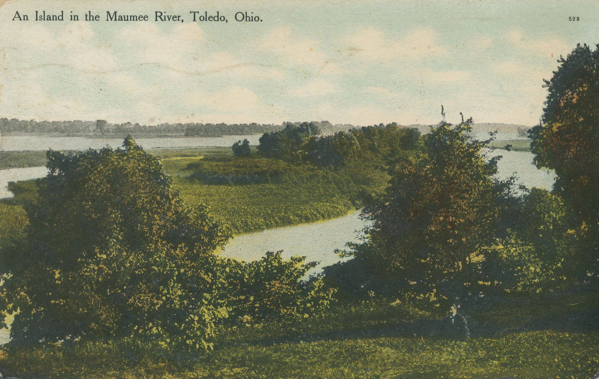
Maumee River
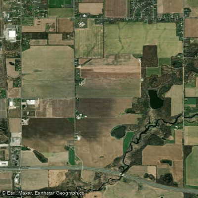
Saint Joseph River
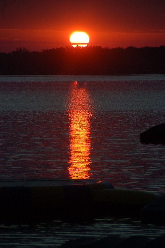
Lake Wawasee
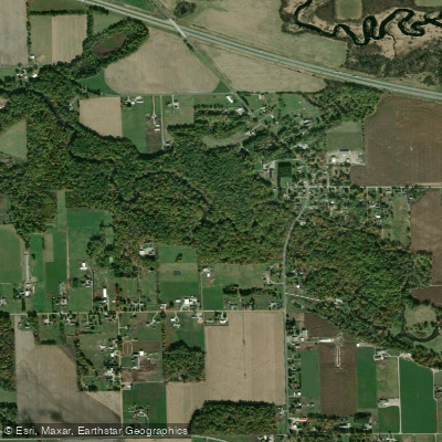
Pigeon River
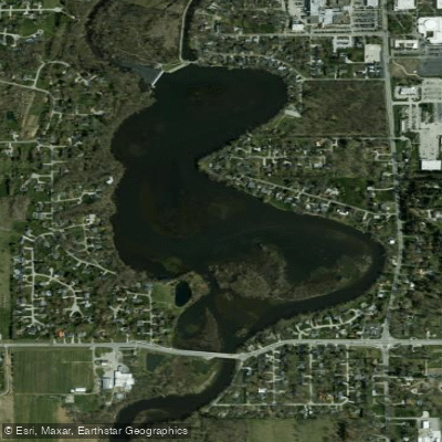
Goshen Dam Pond
Explore Indiana waters
Top paddling waters
Popular Cities
Loading popular cities...
Explore near Elkhart River
Access points
Nearby waters
More in Indiana

Smarter Paddling Starts in the App.
Paddleways gives you everything you need to plan smarter, paddle better, and own every trip from first launch to takeout.