Kalamazoo River
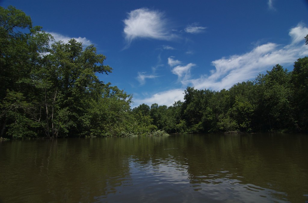
Kalamazoo River
- Boat Ramps
- 28
- Access Points
- 35
- Campsites
- 10
The Kalamazoo River is a major waterway in southwestern Michigan, flowing westward for approximately 130 miles from its headwaters near Albion to its mouth at Lake Michigan near Saugatuck. Its main tributaries include the North and South Branches of the Kalamazoo River, which join near Albion, and the Battle Creek River, which confluences near the city of Battle Creek. The river offers diverse paddling opportunities, ranging from peaceful flatwater sections to occasional Class I-II rapids. The upper reaches near Albion and Marshall provide a more intimate paddling experience, while the lower sections widen as the river approaches Lake Michigan. A popular stretch runs from Fort Custer Recreation Area to Galesburg, offering an enjoyable 8-mile paddle suitable for a variety of skill levels.
Most of the river is classified as flatwater, making it accessible to novice paddlers. However, the Plainwell Swell section near Otsego offers a short Class I-II whitewater experience for more adventurous kayakers. The river is generally paddleable from spring through fall, with summer being the peak season. Spring can bring higher water levels, while late summer may require more portaging in shallow areas.
The Kalamazoo River flows through diverse ecosystems, including forests, wetlands, and urban areas. Paddlers may encounter wildlife such as great blue herons, bald eagles, and various fish species. The river passes through several state game areas and parks, offering opportunities for wildlife viewing and hiking. Key landmarks include the historic cities of Battle Creek, known as Cereal City, and Kalamazoo. The river also flows through the Allegan State Game Area, providing a more secluded paddling experience.
Notable access points include Fort Custer Recreation Area, D Avenue near Kalamazoo, Plainwell, Otsego, and Allegan. The Kalamazoo River played a significant role in the region's history, supporting Native American settlements and later driving the area's industrial development. Today, it's an important recreational resource and the focus of ongoing environmental restoration efforts.
Safety considerations include being aware of dam locations and potential hazards such as strainers. Paddlers should also check water levels and be prepared for varying conditions. Some sections of the river are part of ongoing EPA cleanup efforts, so it's advisable to check current conditions and access point availability before planning a trip. For those interested in multi-day adventures, the lower 20-mile section from below Lake Allegan to Hacklander Landing, designated as a state Natural River, offers an excellent opportunity for an overnight trip through minimally developed areas.
Water access, boat ramps & amenities
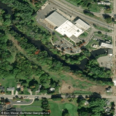
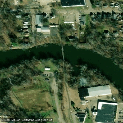
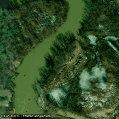
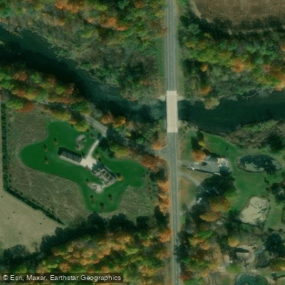
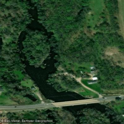
Learn how to get on Kalamazoo River. Uncover great paddling access points, boat ramps, and all the facilities you need for an unforgettable day on the water. Some locations shown may border or include private property. Always check property boundaries and applicable regulations before visiting. PaddleWays's Public & Private Land layer can help you plan your access with confidence.
Paddle smarter with real-time insights
Whether you're en route and conditions shift or you're looking for the best spot based on current flows, we enable you to make informed decisions on the fly.








Find Places to Paddle

Over 400,000 Places to Paddle
Every user gets free access to launch points, boat ramps, and public property parcels.


Water and weather conditions (10 day forecast)
See the best times to paddle Kalamazoo River and check the forecast before you go.
RICE CREEK AT MONROE STREET AT MARSHALL, MI
All Flow Stations
Paddling near Kalamazoo River

Lake Michigan
Elkhart River
Grand River
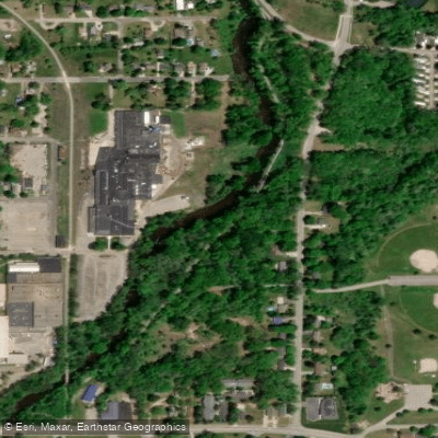
Flat River
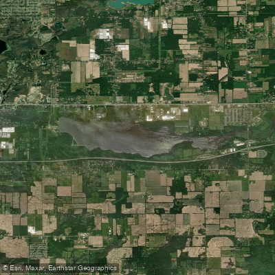
Morrow Lake
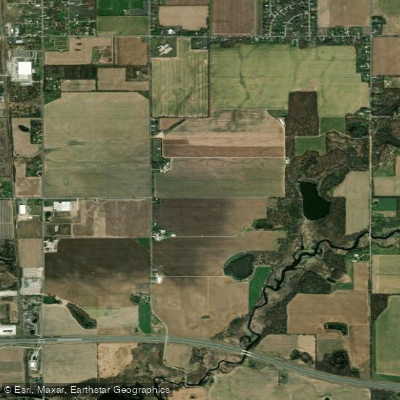
Saint Joseph River
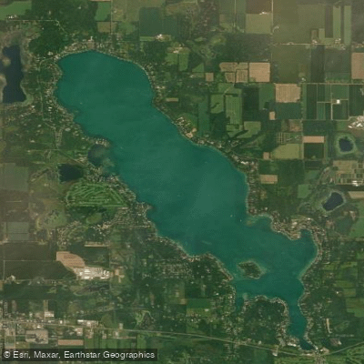
Gull Lake
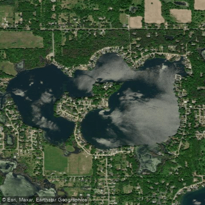
Eagle Lake
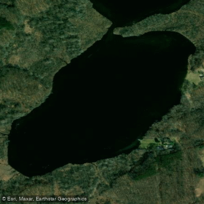
Hogset Lake
Explore Michigan waters
Top paddling waters
Popular Cities
Loading popular cities...
Explore near Kalamazoo River
Access points
Nearby waters
More in Michigan

Smarter Paddling Starts in the App.
Paddleways gives you everything you need to plan smarter, paddle better, and own every trip from first launch to takeout.