East Fork Des Moines River
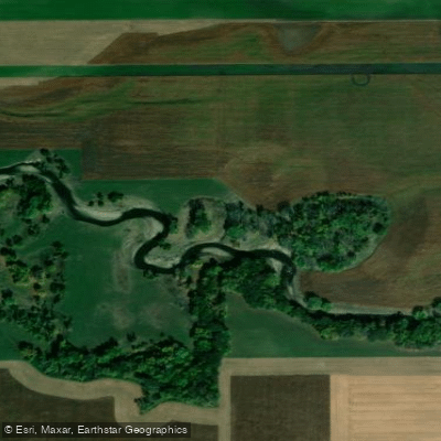
East Fork Des Moines River
- Boat Ramps
- 8
- Access Points
- 13
- Campsites
- 2
The East Fork Des Moines River originates in southern Minnesota and flows southward for approximately 200 miles before joining the Des Moines River in Humboldt County, Iowa. This scenic waterway meanders through a light to moderately timbered floodplain, with much of the surrounding land used for agriculture, especially upstream of Algona, Iowa. Paddlers can enjoy a variety of experiences on the East Fork, from calm flatwater stretches to gentle Class II rapids. The river is suitable for canoes and kayaks, offering trips ranging from a few hours to multi-day adventures. The most popular section runs from the Minnesota-Iowa state line to Algona, spanning about 80 miles. Another notable stretch extends from Plum Creek Dam to Algona, providing excellent fishing opportunities.
The river's difficulty is generally considered Class I to II, making it appropriate for beginners to intermediate paddlers. However, all skill levels should be aware of potential obstacles and changing water conditions. The best paddling times are typically late spring through early fall, with water levels being most favorable in late spring and early summer.
The East Fork Des Moines River supports a diverse ecosystem. Paddlers may encounter various fish species, including channel catfish, walleye, and northern pike. The river's banks and surrounding areas provide habitat for numerous bird species and other wildlife. Key landmarks include the Plum Creek Dam, a popular access point on 240th Street in Kossuth County. Several constructed fishing riffles along the river offer good angling spots. Public recreation and conservation lands accessible from the river provide opportunities for breaks or exploration.
Major access points include the put-in at the Minnesota-Iowa state line and take-outs at Algona and the confluence with the main Des Moines River. Other notable access points are found in Emmet and Kossuth counties, with Plum Creek Dam being a significant landmark.
Historically, the East Fork Des Moines River has played a crucial role in the development of the region, supporting agriculture and early settlements. Today, it continues to be an important resource for recreation and wildlife.
Safety considerations include being aware of water levels, watching for submerged obstacles, and respecting private property boundaries. Paddlers should practice Leave No Trace principles and be prepared for limited facilities along some stretches of the river.
For those seeking a multi-day adventure, the full 200-mile journey from the source to the confluence offers an immersive experience through Iowa's diverse landscape. Shorter overnight trips can be planned between various access points, particularly in the upper sections of the river.
Water access, boat ramps & amenities
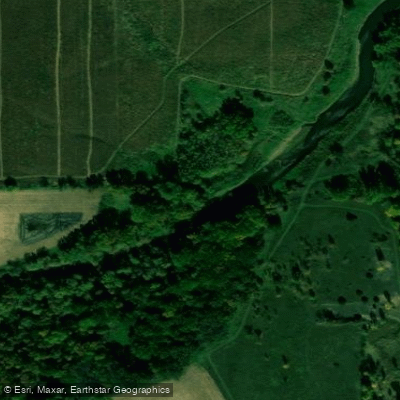
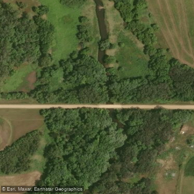
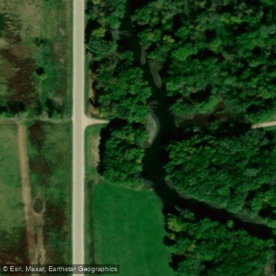
Learn how to get on East Fork Des Moines River. Uncover great paddling access points, boat ramps, and all the facilities you need for an unforgettable day on the water. Some locations shown may border or include private property. Always check property boundaries and applicable regulations before visiting. PaddleWays's Public & Private Land layer can help you plan your access with confidence.
Paddle smarter with real-time insights
Whether you're en route and conditions shift or you're looking for the best spot based on current flows, we enable you to make informed decisions on the fly.








Find Places to Paddle

Over 400,000 Places to Paddle
Every user gets free access to launch points, boat ramps, and public property parcels.


Water and weather conditions (10 day forecast)
See the best times to paddle East Fork Des Moines River and check the forecast before you go.
East Fork Des Moines River near Algona, IA
All Flow Stations
Paddling near East Fork Des Moines River
Des Moines River
Boone River
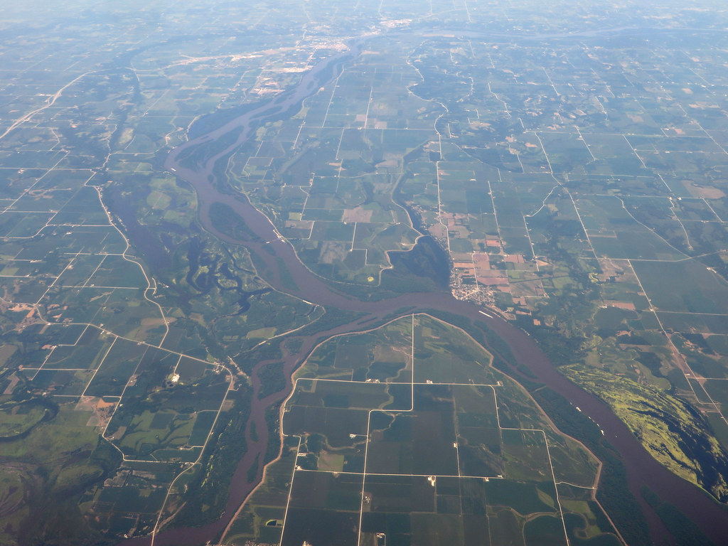
Iowa River
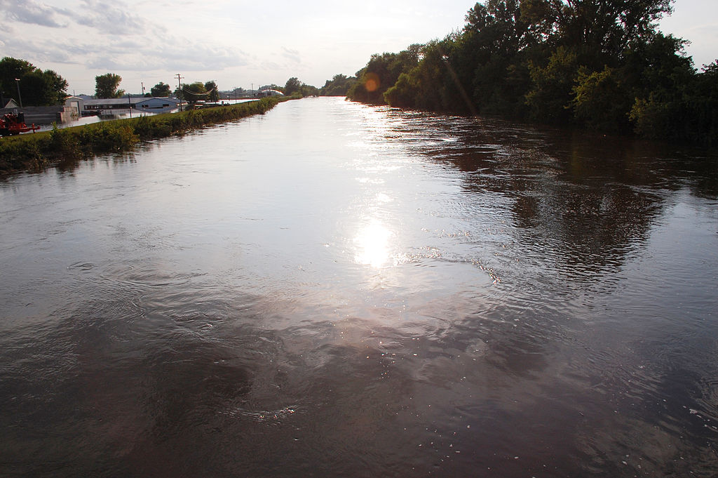
South Skunk River
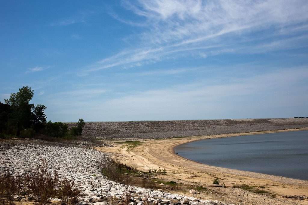
Saylorville Lake
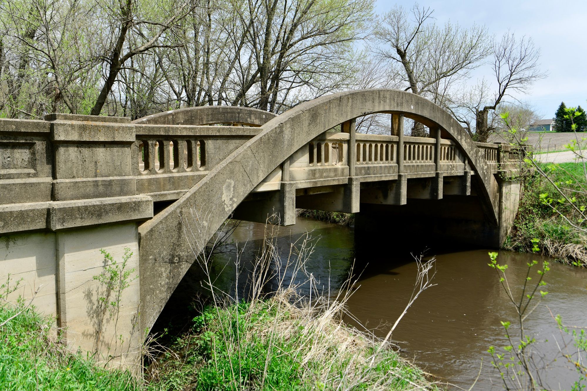
Big Creek
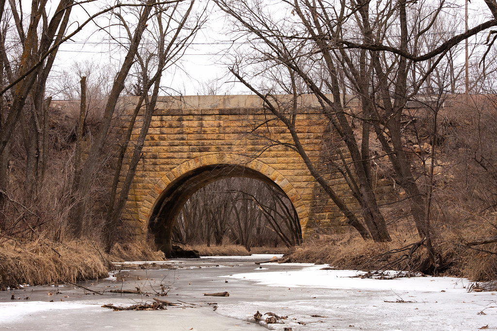
Indian Creek
Lizard Lake
North Twin Lake
Explore Iowa waters
Top paddling waters
Popular Cities
Loading popular cities...
Explore near East Fork Des Moines River
Access points
- East Fork Des Moines River Boat Ramp
- Patterson Recreation & Wildlife Area Boat Ramp
- Plum Creek Dam Boat Ramp
- Plum Creek Dam Boat Ramp
- Frank A Gotch Park Boat Ramp
- Devine Wildlife Area Boat Ramp
- Livermore Bridge Boat Ramp
- Dakota City Boat Ramp
- Seneca Access
- East Des Moines River Access
- Old Bridge Access
- Veterans Park Access
- All 158 spots
Nearby waters
More in Iowa

Smarter Paddling Starts in the App.
Paddleways gives you everything you need to plan smarter, paddle better, and own every trip from first launch to takeout.