Curated by PaddleWays
RouteFlatwater
- Distance
- 6.4 mi
- Paddle time
- ~2 hrs
- Best for
- Beginners, intermediate paddlers
- Put-in → take-out
- Sargent Park Access → Pleasant Hill Boat Ramp
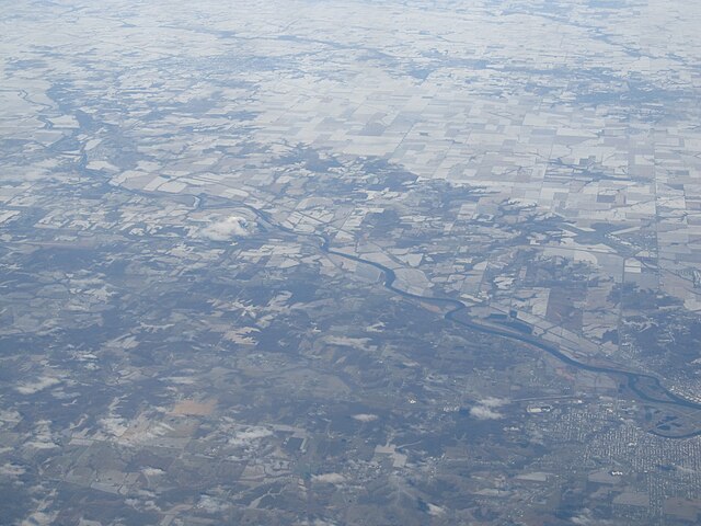
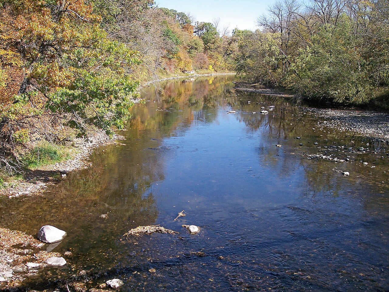
Fourmile Creek originates in northern Polk County and flows southward through Story, Boone, and Polk Counties for approximately 38 miles before joining the Des Moines River in southern Polk County. The watershed encompasses 76,600 acres (approximately 119 square miles) of mixed urban and agricultural landscape, making it one of the most developed watersheds in central Iowa. The creek's main stem travels through several communities including Sheldahl and Slater in the northern reaches, then passes through or near Ankeny, Alleman, Elkhart, Altoona, Pleasant Hill, and portions of Des Moines. The watershed is characterized by relatively flat to gently rolling terrain typical of the Des Moines Lobe landform region, with elevation dropping over 300 feet from headwaters to confluence.
Paddling opportunities exist primarily on the main channel during periods of adequate flow, though the creek's urban setting and variable water levels present challenges. The stream supports recreational paddling when conditions allow, with access points available at several locations including near Ankeny and downstream sections. Water quality concerns, including elevated bacteria and nutrient levels, have been documented throughout the system.
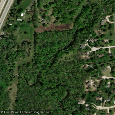
The watershed contains a mix of habitats despite urbanization pressures. Riparian corridors support deciduous woodland communities with walnuts, cottonwoods, and maples providing cover for white-tailed deer, wild turkeys, and various songbird species including Baltimore orioles and rose-breasted grosbeaks. The creek and its tributaries provide habitat for muskrat, raccoon, and mink. Aquatic communities include populations of walleye, bass, and catfish in downstream reaches and impoundments.
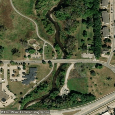
Notable features include the Fourmile Creek Greenway system, which preserves floodplain areas and provides trail connections through Pleasant Hill and other communities. The watershed contains numerous parks and conservation areas managed by Polk County Conservation and other agencies. Historical significance includes the area's transformation from native prairie and wetland systems to agricultural and urban uses over the past 150 years.
The Fourmile Creek Watershed Management Authority, established in 2012, coordinates management efforts across jurisdictions. A comprehensive watershed management plan addresses flooding, water quality, and habitat restoration priorities. Streambank erosion remains a significant concern, with assessment data identifying priority restoration sites along the main channel.
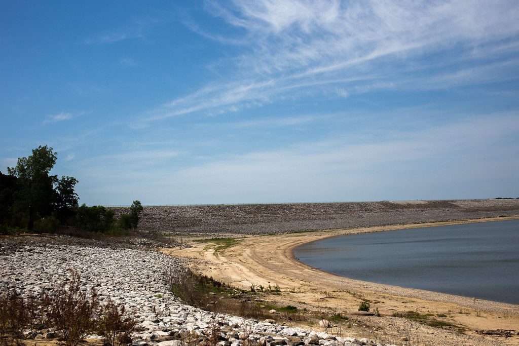
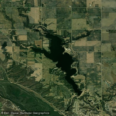
Safety considerations include fluctuating water levels, urban infrastructure including low-head dams, and water quality concerns that may limit contact recreation during certain periods. The "no wake" designation on Easter Lake, a 171-acre impoundment within the watershed, reflects the area's mixed recreational use patterns. Paddlers should consult current conditions and access regulations before planning trips, as urban development continues to influence stream characteristics and recreational opportunities.
Curated routes
Hand-picked by the PaddleWays team, with put-ins, take-outs, paddle times and the hazards along the way.
RouteFlatwater
Hazards
No hazards are marked on Fourmile Creek yet. That is not the same as none being there: if you find one, report it for the next paddler.
From the community
Nobody has shared a trip on Fourmile Creek yet. Paddle it, then tell the next paddler how it went.
See exactly where the public can get on and off the river. Launch points and boat ramps are paired with PaddleWays' public land data so you know where you can legally land.
Public shoreline
21%of the river's shoreline is public
Most of the riverbank is private. Launch, land and camp only at public access points.
Flows, weather and a route-by-route verdict, so you know which stretch of the Fourmile Creek is worth paddling today.
All Flow Stations
Live flows, marked hazards and fresh trip reports from paddlers who were just on the water, all in one place.





Every user gets free access to launch points, boat ramps, and public property parcels.
Loading popular cities...
PaddleWays gives you everything you need to plan smarter, paddle better, and own every trip from first launch to takeout.