Curated by PaddleWays
RouteFlatwater
- Distance
- 3.9 mi
- Paddle time
- 1.3 hrs
- Best for
- All skill levels
- Put-in → take-out
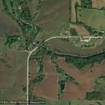
- Middle River Access → Holliwell Covered Bridge Access
Swifter conditions after heavy rain
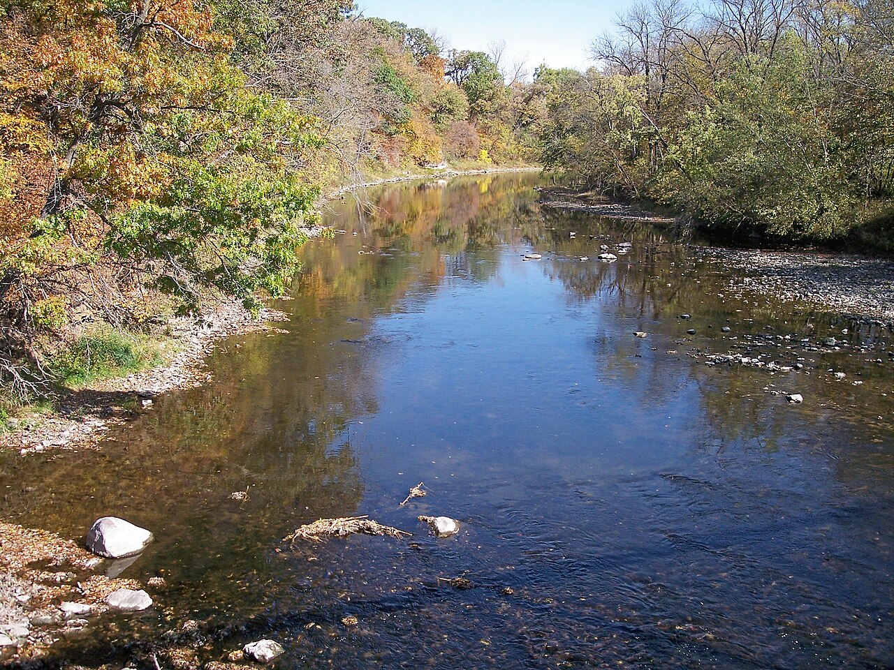
The Middle River is a scenic waterway that flows through the heart of Iowa, originating in Adair County and meandering eastward through Madison County. This 45-mile water trail offers paddlers a diverse journey through the state's picturesque countryside, passing through a mix of forested areas and agricultural landscapes. The river begins its course at Middle River Forest Area County Park in eastern Adair County, serving as the trailhead for the Middle River Water Trail. From there, it flows eastward, gradually increasing in size as it makes its way towards its confluence with the Des Moines River southeast of Winterset.
Paddling opportunities on the Middle River cater to a range of skill levels, with the upper sections presenting more challenging conditions and the lower stretches offering a gentler experience. The first 12 miles from Middle River Forest Area to Schildberg Access feature a gradient of 4.44 feet per mile, providing a more adventurous paddle with potential small rapids and riffles. As the river continues downstream, it becomes more suitable for novice paddlers, especially in the final stretches near Winterset.
The water trail is divided into several sections, each offering unique experiences: 1. Middle River Forest Area to Schildberg Access (12 miles) 2. Schildberg Access to Middle River County Park (7 miles) 3. Middle River County Park to Holliwell Covered Bridge (4 miles)
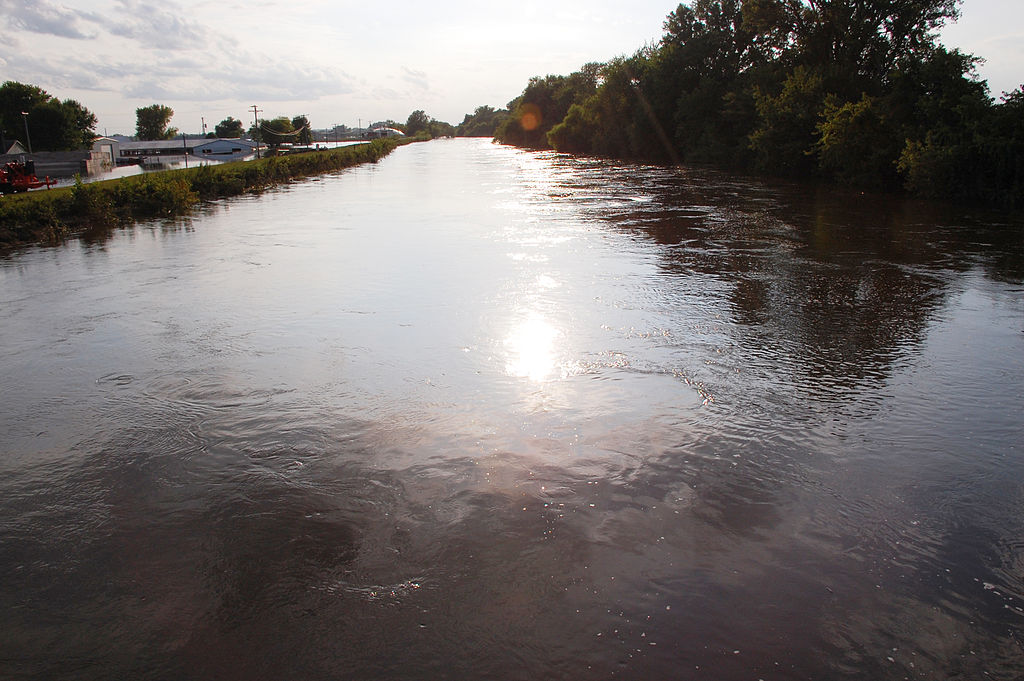
Spring and early summer typically offer the best water levels for paddling, though the river can be enjoyed throughout the warm months. Paddlers should be aware that water levels can rise quickly after heavy rains, potentially creating swifter conditions.
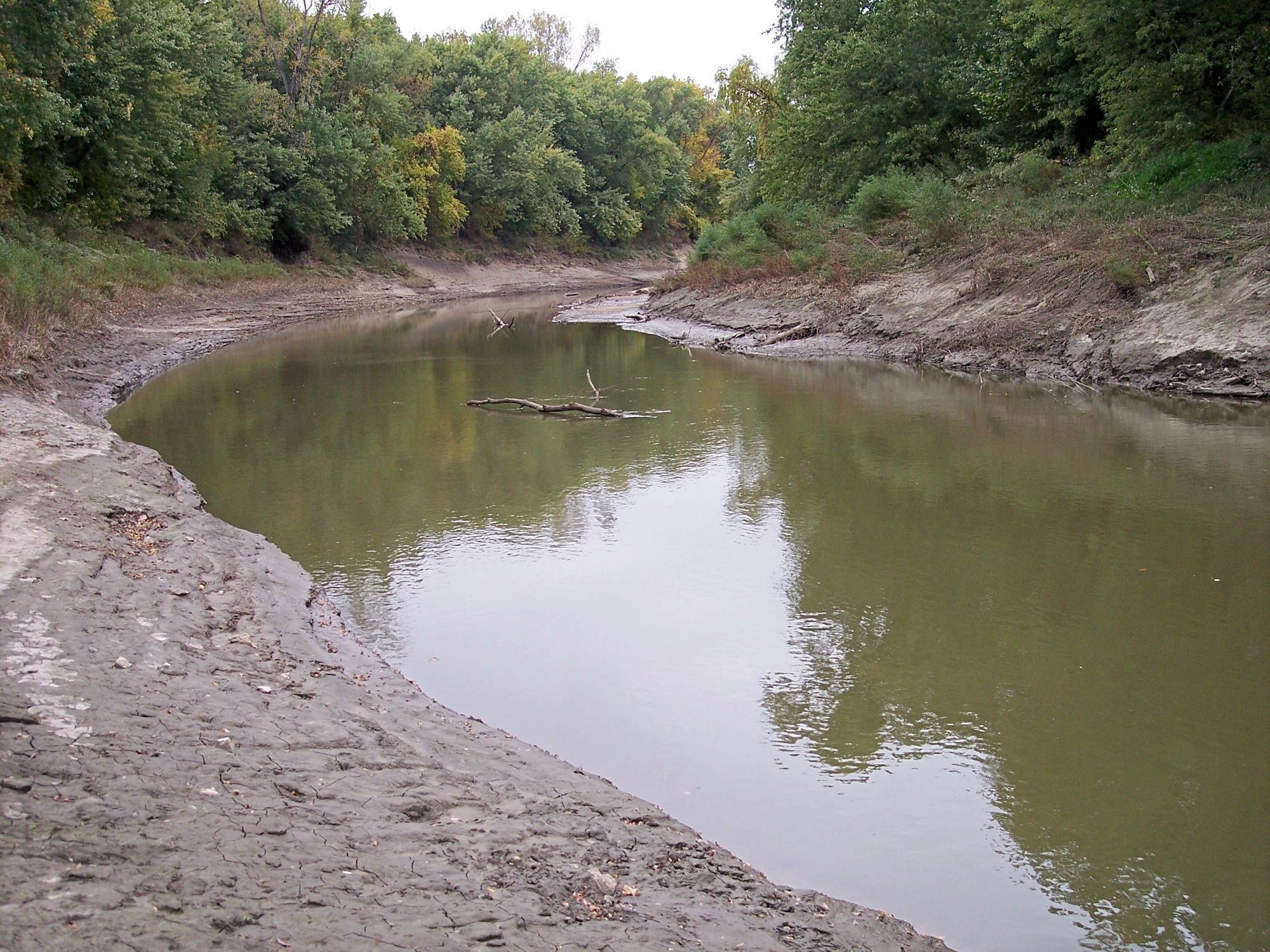
The Middle River corridor is home to diverse wildlife, with opportunities for spotting various bird species, deer, and other native fauna. The surrounding landscape showcases Iowa's natural beauty, transitioning between wooded areas and open farmland.
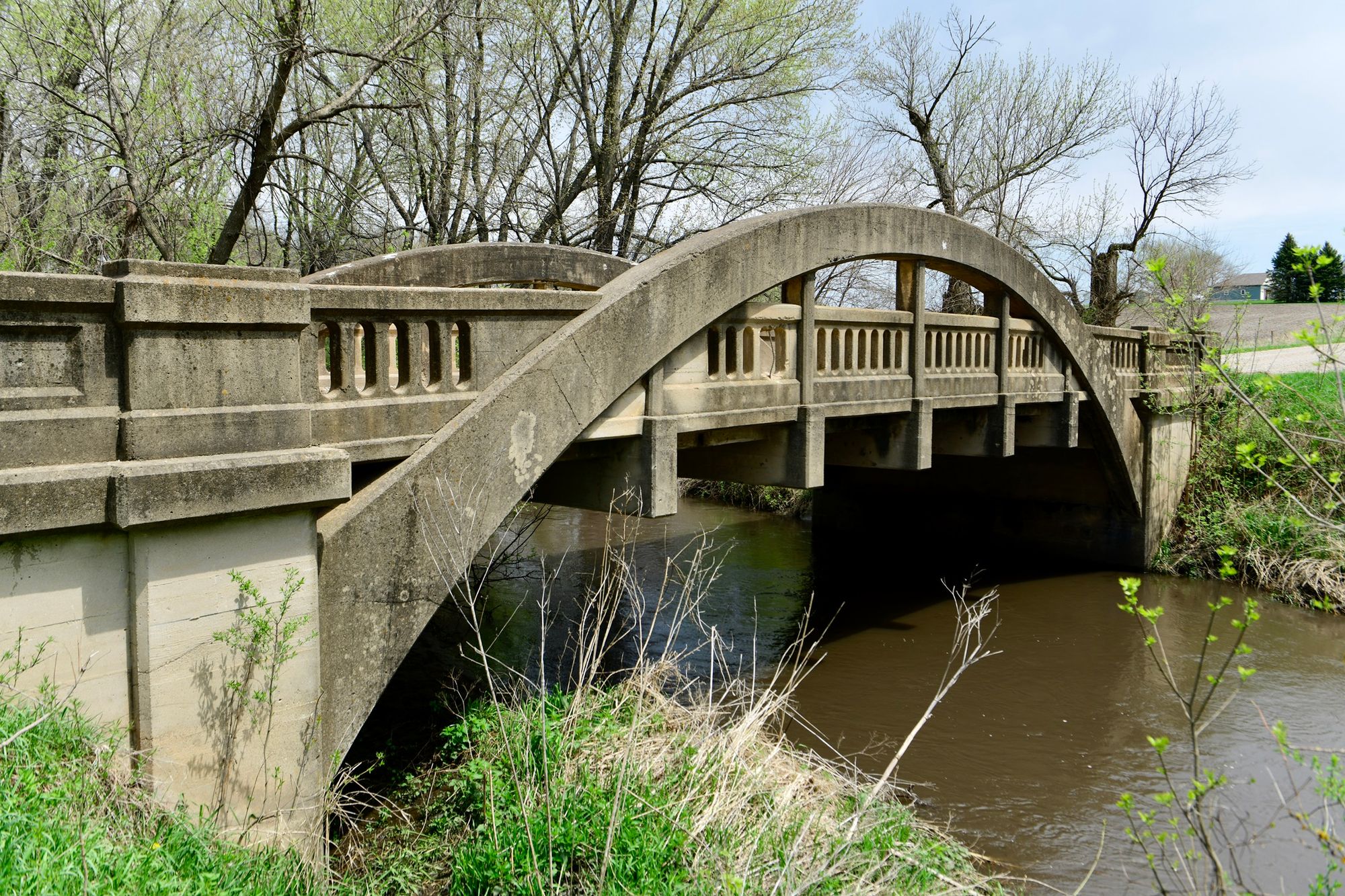
A highlight of the Middle River Water Trail is the presence of two of Madison County's famous covered bridges - Roseman and Holliwell. These historic structures add a unique cultural element to the paddling experience and serve as popular landmarks along the route.
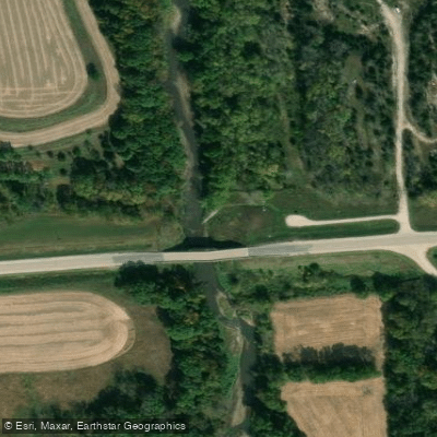
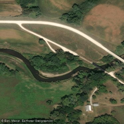
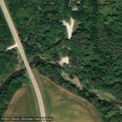
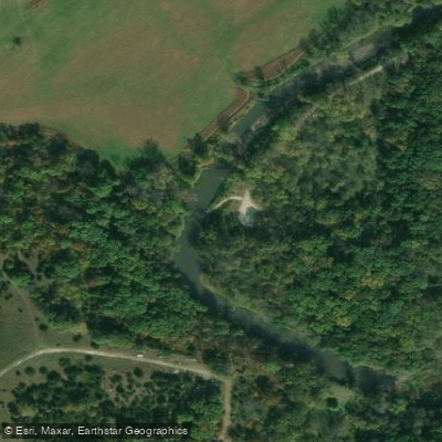
Access points are well-distributed along the trail, with major put-in and take-out locations at Middle River Forest Area County Park, Schildberg Access (10 miles west of Winterset), Middle River County Park (south edge of Winterset), and Holliwell Covered Bridge (3.5 miles southeast of Winterset).
For those interested in multi-day trips, the full 45-mile route can be divided into segments, with camping options available at some access points. Local outfitters offer canoe and kayak rentals, with prices starting at $50 for canoes and $30 for kayaks. Paddlers should always check current water levels and weather conditions before embarking on their journey.
While the Middle River offers a generally peaceful paddling experience, proper safety equipment and awareness of potential hazards are essential for a safe and enjoyable trip through this beautiful slice of Iowa's heartland.
Curated routes
Hand-picked by the PaddleWays team, with put-ins, take-outs, paddle times and the hazards along the way.
RouteFlatwater
RouteFlatwater
RouteClass II
Hazards
No hazards are marked on Middle River yet. That is not the same as none being there: if you find one, report it for the next paddler.
From the community
Nobody has shared a trip on Middle River yet. Paddle it, then tell the next paddler how it went.
See exactly where the public can get on and off the river. Launch points and boat ramps are paired with PaddleWays' public land data so you know where you can legally land.
Public shoreline
6%of the river's shoreline is public
Most of the riverbank is private. Launch, land and camp only at public access points.
Flows, weather and a route-by-route verdict, so you know which stretch of the Middle River is worth paddling today.
Live flows, marked hazards and fresh trip reports from paddlers who were just on the water, all in one place.





Every user gets free access to launch points, boat ramps, and public property parcels.
Loading popular cities...
PaddleWays gives you everything you need to plan smarter, paddle better, and own every trip from first launch to takeout.