Wisconsin River
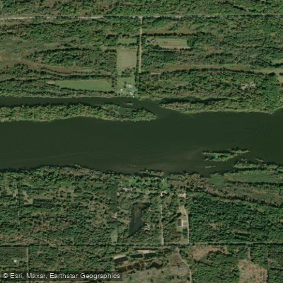
Wisconsin River
- Boat Ramps
- 38
- Access Points
- 43
- Campsites
- 36
The Wisconsin River, often called the "hardest working river in America," is a majestic waterway that flows for 430 miles through the heart of Wisconsin. From its headwaters at Lac Vieux Desert on the Wisconsin-Michigan border to its confluence with the Mississippi River near Prairie du Chien, the Wisconsin River offers a diverse range of paddling experiences for canoeists and kayakers of all skill levels. The river can be broadly divided into three main sections: the upper, middle, and lower Wisconsin.
The upper section, from the headwaters to Wausau, is characterized by a series of impoundments and some of the best whitewater paddling in the state. Notable rapids include Grandfather Falls, the highest waterfall on the river with an 89-foot drop over about a mile, and the Wausau Whitewater Park, a world-class course in downtown Wausau. The middle section, from Wausau to Wisconsin Dells, alternates between flowages and free-flowing stretches. This part of the river is known for its scenic beauty, with highlights including the stunning rock formations of the Upper and Lower Dells. The Wisconsin Dells area offers some of the most picturesque paddling on the entire river, with towering sandstone cliffs and unique rock formations.
The lower Wisconsin, from Prairie du Sac dam to the Mississippi River, is the crown jewel of Wisconsin paddling. This 92-mile stretch is the longest free-flowing section of river in the Midwest and is protected as part of the Lower Wisconsin State Riverway. It's characterized by wide sandbars, numerous islands, and a gentle current, making it perfect for multi-day canoe camping trips.
The difficulty of paddling the Wisconsin River varies greatly depending on the section. The upper river offers challenging Class II-IV rapids suitable for experienced whitewater paddlers, while the lower river is mostly flatwater, ideal for beginners and families. The middle section provides a mix of experiences, from calm flowages to occasional Class I-II rapids.
Spring and early summer typically offer the best water levels for paddling, especially for the upper sections. However, the lower Wisconsin can be paddled well into fall, offering stunning autumn colors. Winter paddling is possible in some sections but requires extreme caution and experience.
The river corridor is home to a rich variety of wildlife, including bald eagles, ospreys, herons, and turtles. The lower river, in particular, is known for its excellent bird-watching opportunities. The surrounding landscape transitions from the northwoods forests of the upper river to the picturesque Driftless Area in the lower sections.
Notable landmarks along the river include the Wisconsin Dells, Grandfather Falls, and the shot tower at Tower Hill State Park. The river passes through or near several towns that serve as convenient access points, including Rhinelander, Wausau, Wisconsin Rapids, Wisconsin Dells, and Prairie du Sac.
Historically, the Wisconsin River played a crucial role in the state's development, from Native American settlements to the logging era and hydroelectric power generation. Today, it remains an important economic and recreational resource for the state.
Safety considerations include being aware of dam operations, especially in the upper and middle sections, and watching for shallow areas and submerged logs in the lower river. Always wear a life jacket and be prepared for changing weather conditions.
For those seeking a multi-day adventure, the Lower Wisconsin Riverway offers excellent opportunities for canoe camping on sandbars. Popular trips include the 3-4 day journey from Prairie du Sac to Boscobel, or the full 7-9 day trip all the way to the Mississippi.
Whether you're seeking thrilling whitewater, a peaceful float through scenic landscapes, or a multi-day wilderness experience, the Wisconsin River offers something for every paddler. Its diverse character and rich history make it a true gem of the Midwest and a must-paddle destination for any serious canoeist or kayaker.
Water access, boat ramps & amenities
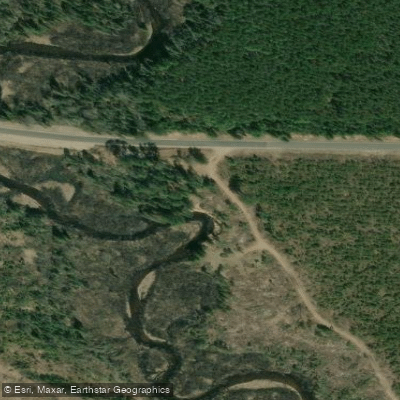
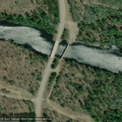
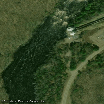
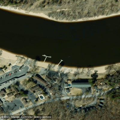
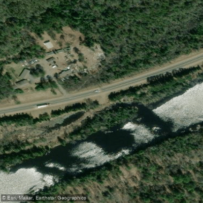
Learn how to get on Wisconsin River. Uncover great paddling access points, boat ramps, and all the facilities you need for an unforgettable day on the water. Some locations shown may border or include private property. Always check property boundaries and applicable regulations before visiting. PaddleWays's Public & Private Land layer can help you plan your access with confidence.
Paddle smarter with real-time insights
Whether you're en route and conditions shift or you're looking for the best spot based on current flows, we enable you to make informed decisions on the fly.








Find Places to Paddle

Over 400,000 Places to Paddle
Every user gets free access to launch points, boat ramps, and public property parcels.


Water and weather conditions (10 day forecast)
See the best times to paddle Wisconsin River and check the forecast before you go.
WISCONSIN RIVER @ RAINBOW LAKE NR LAKE TOMAHAWK,WI
All Flow Stations
Paddling near Wisconsin River
Castle Rock Lake
Silver Lake
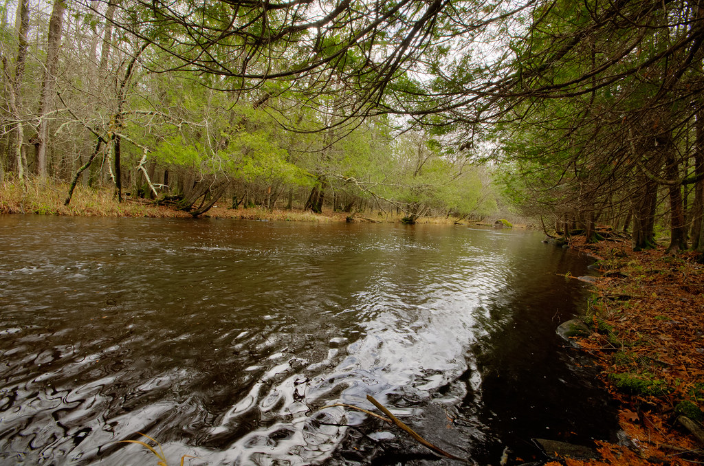
Wolf River
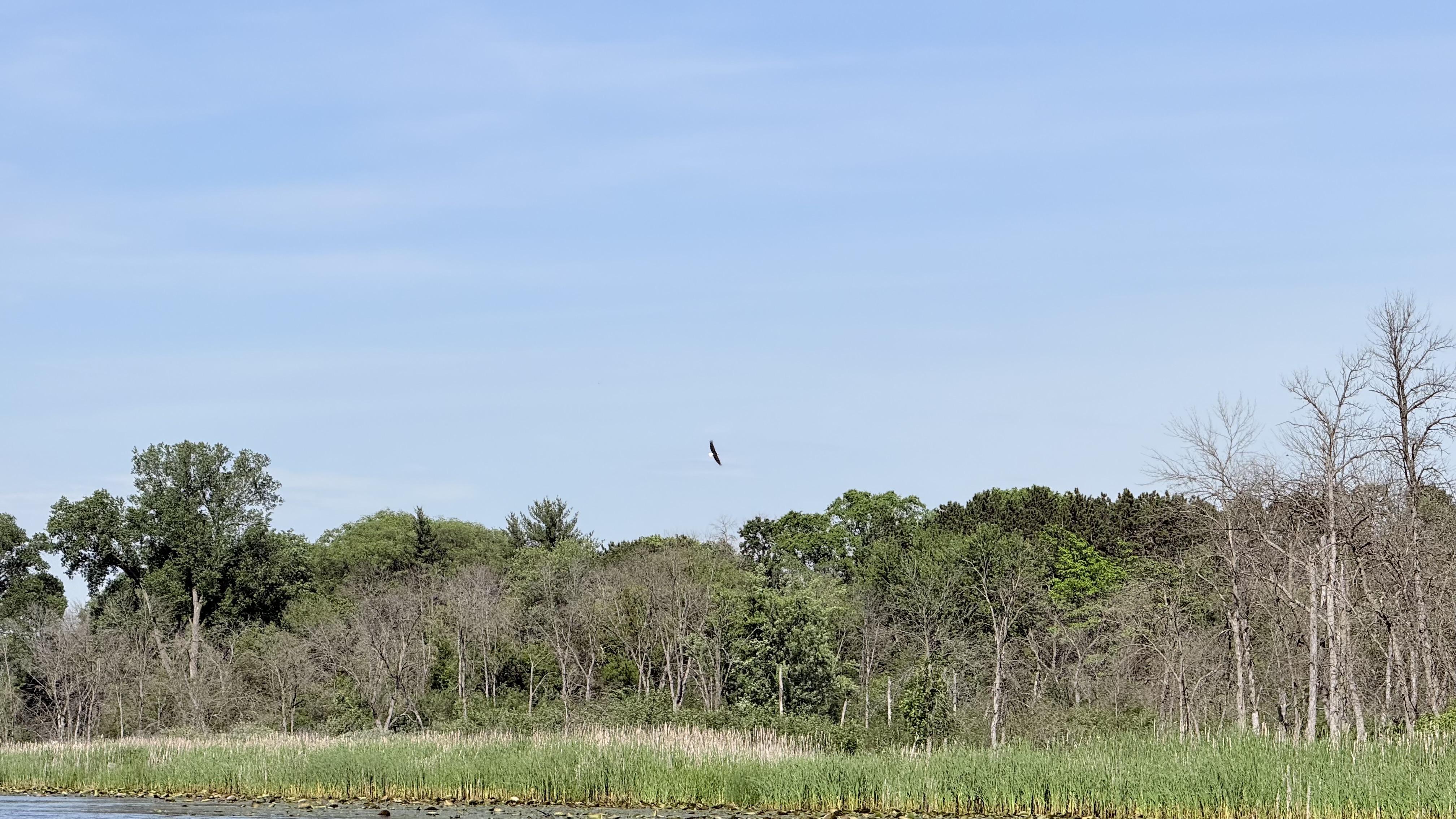
Fox River
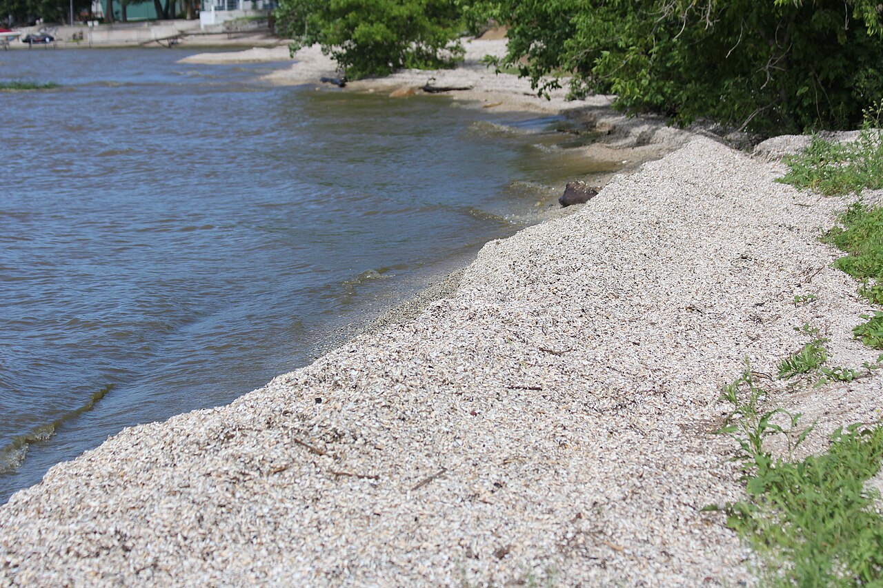
Red River
McDill Pond
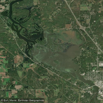
Wisconsin River Flowage
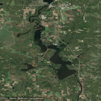
Lake Dubay 4890
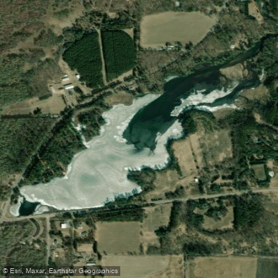
Jordan Pond
Explore Iowa waters
Top paddling waters
Popular Cities
Loading popular cities...
Explore near Wisconsin River
Access points
- Wisconsin River Boat Ramp
- Lac Vieux Desert Boat Ramp
- Wisconsin River Boat Ramp
- Wisconsin River Boat Ramp
- Fredrichs Landing Boat Ramp
- Norway Street Boat Ramp
- Beans Eddy Road Boat Ramp
- Wisconsin River Boat Ramp
- Wisconsin River Boat Ramp
- Wisconsin River Boat Ramp
- Wisconsin River Boat Ramp
- Wisconsin River Boat Ramp
- All 94 spots
Nearby waters
More in Iowa

Smarter Paddling Starts in the App.
Paddleways gives you everything you need to plan smarter, paddle better, and own every trip from first launch to takeout.