Wiese Slough
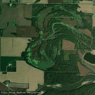
Wiese Slough
- Boat Ramps
- 1
- Access Points
- 3
- Campsites
- 1
Wiese Slough is a 1,871-acre wildlife management area located 2.5 miles east of Atalissa, Iowa on Highway 6. The area features a diverse landscape that is approximately 80% marsh habitat and 20% timber, with two boat ramps providing access to the slough system. The Cedar River splits the area in half, creating a dynamic water environment where the wetlands are primarily ground-fed but influenced by river flooding.
The sloughs are characteristically shallow, requiring small watercraft like kayaks or skiffs for navigation. Two boat ramps serve as primary access points, with several parking areas available along Mohawk Avenue. The area is particularly scenic in spring when hundreds of trumpeter swans migrate through, though summer brings extensive water lily coverage that disappears with the first frost.
Wildlife viewing opportunities abound, with regular sightings of wood ducks, great blue herons, and sandhill cranes. The landscape features a mix of floodplain-friendly trees including river birch, hickory, oaks, pecan, and sycamores. A unique remnant prairie area supports rare plants like prickly pear cactus and cleft phlox.
The southern portion of Wiese Slough can be challenging to access. Paddlers should be aware that this is an active hunting area, particularly during waterfowl season, and should plan accordingly. The area lies along a Cedar River paddling route between Jack Shuger Memorial Park in Moscow and the Saulsbury Bridge Recreation Area, allowing paddlers to incorporate Wiese Slough into longer river trips.
Managed by the Iowa Department of Natural Resources, Wiese Slough began as an old oxbow off the Cedar River in the 1940s. Its sandy soils made farming difficult, leading to its development as a wildlife area. The wetlands feature button bush in patches and serve as important habitat for migrating waterfowl.
Water access, boat ramps & amenities
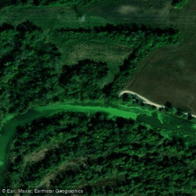
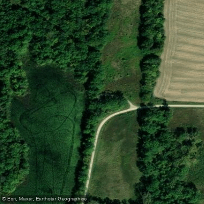
Learn how to get on Wiese Slough. Uncover great paddling access points, boat ramps, and all the facilities you need for an unforgettable day on the water. Some locations shown may border or include private property. Always check property boundaries and applicable regulations before visiting. PaddleWays's Public & Private Land layer can help you plan your access with confidence.
Paddle smarter with real-time insights
Whether you're en route and conditions shift or you're looking for the best spot based on current flows, we enable you to make informed decisions on the fly.








Find Places to Paddle

Over 400,000 Places to Paddle
Every user gets free access to launch points, boat ramps, and public property parcels.


Water and weather conditions (10 day forecast)
See the best times to paddle Wiese Slough and check the forecast before you go.
No forecast data available.
Paddling near Wiese Slough

Mississippi River
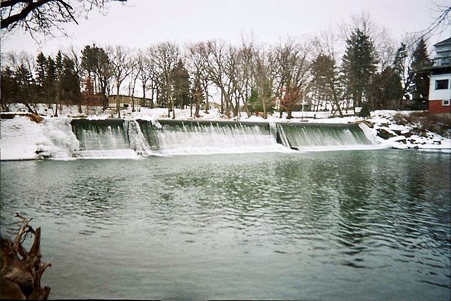
Cedar River
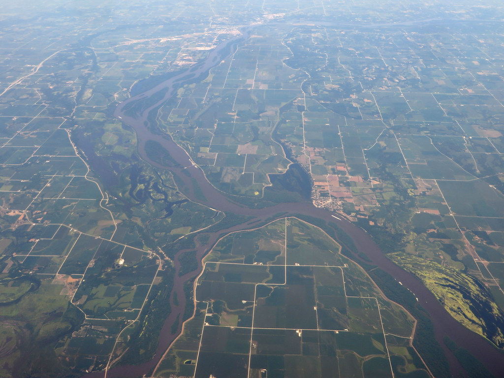
Iowa River

Rock River
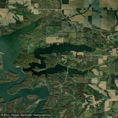
Lake McBride
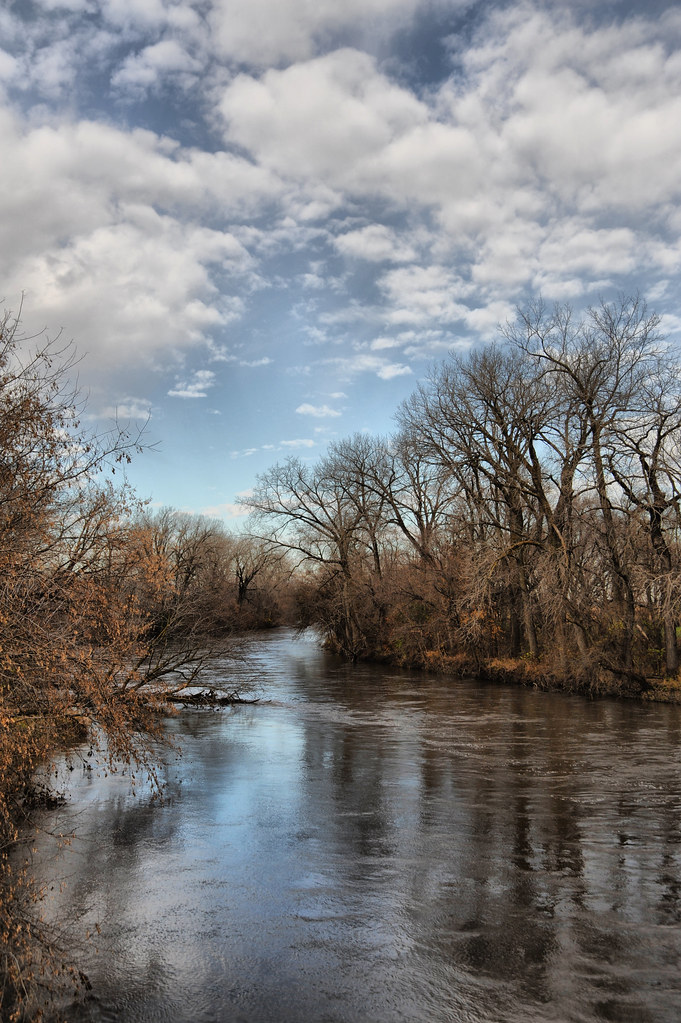
Skunk River
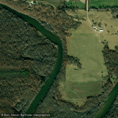
Wapsipinicon River
Maquoketa River
Indian Creek
Lake Odesa
Explore Iowa waters
Top paddling waters
Popular Cities
Loading popular cities...
Explore near Wiese Slough
Access points
Nearby waters
More in Iowa

Smarter Paddling Starts in the App.
Paddleways gives you everything you need to plan smarter, paddle better, and own every trip from first launch to takeout.