Winnebago River
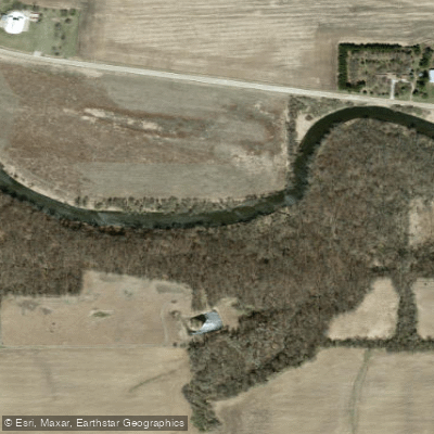
Winnebago River
- Boat Ramps
- 0
- Access Points
- 17
- Campsites
- 6
The Winnebago River is a scenic waterway that meanders through north-central Iowa, offering paddlers a diverse and enjoyable experience. Originating in southern Minnesota at Bear Lake, the river flows southeast through Winnebago County before joining the Shell Rock River near Rockford, Iowa. The river features a mix of gentle flatwater sections and occasional Class I-II rapids, making it suitable for paddlers of various skill levels.
Beginners and families can enjoy leisurely floats on the flatwater stretches, while more experienced paddlers can find some excitement in the mild whitewater sections, particularly around Mason City. One of the most popular paddling routes is the 27-mile Winnebago River Water Trail, which runs from Dahle Park in Lake Mills to Pammel Park in Forest City. This designated water trail offers multiple access points, including the Lande River Conservation Area and Ambroson Recreation Area, allowing for flexible trip planning.
The trail showcases a blend of natural floodplains, restored wetlands, and scenic uplands, providing an excellent opportunity to observe local wildlife. For those seeking a more urban paddling experience, the 10-mile section through Mason City offers a unique perspective of the city. Paddlers can put in at East Park, which features the historic 457 Cannonball locomotive, and take out at Wren Avenue. This stretch includes the confluence with Willow Creek and passes through the heart of Mason City, offering a mix of urban and natural scenery.
The river valley is known for its concentration of Devonian Period fossils, adding geological interest to paddling trips. Wildlife enthusiasts may spot river otters, various bird species, and other fauna native to the area. The river's ecosystem supports a diverse array of plant life, contributing to its scenic beauty.
Seasonal considerations are important when planning a trip on the Winnebago River. Spring and early summer typically offer the best water levels for paddling, while late summer and fall may see lower water levels that could impact navigation in some areas. It's always wise to check current water conditions before embarking on a trip.
Several towns along the river provide convenient access points and amenities for paddlers. Lake Mills, Mason City, and Forest City are key locations for launching or ending trips. These communities also offer opportunities to explore local history and culture related to the river.
Safety is paramount when paddling the Winnebago River. Paddlers should be aware of a dam in Nora Springs and take out above it. There's also an easy portage around a dam at the Lime Creek trailhead in Mason City. As with any river trip, wearing life jackets, checking weather forecasts, and being prepared for changing conditions are essential.
For those interested in multi-day adventures, the full 27-mile water trail can be broken into segments, with camping available at Dahle Park and Forest City's Pammel Park. This allows paddlers to fully immerse themselves in the river environment and experience the changing landscape from rural to urban settings.
The Winnebago River, with its mix of natural beauty, mild rapids, and rich local history, offers a quintessential Iowa paddling experience. Whether you're seeking a short day trip or a longer adventure, this river provides a perfect blend of recreation and connection to nature in the heart of the Hawkeye State.
Water access, boat ramps & amenities
Learn how to get on Winnebago River. Uncover great paddling access points, boat ramps, and all the facilities you need for an unforgettable day on the water. Some locations shown may border or include private property. Always check property boundaries and applicable regulations before visiting. PaddleWays's Public & Private Land layer can help you plan your access with confidence.
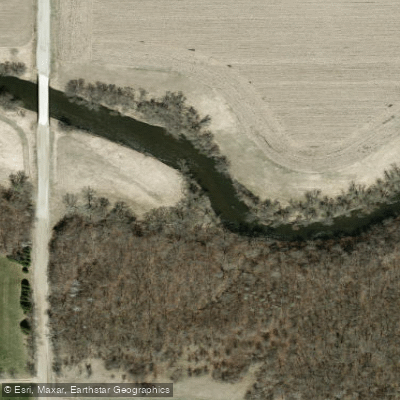
Wally's Woods Access
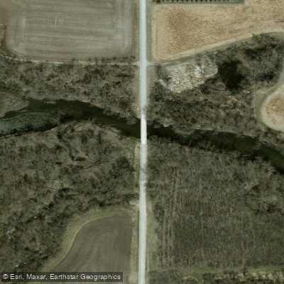
Claybanks Access
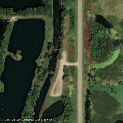
Ambroson Recreation Area Access
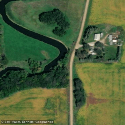
Winnebago River Recreation Area Access
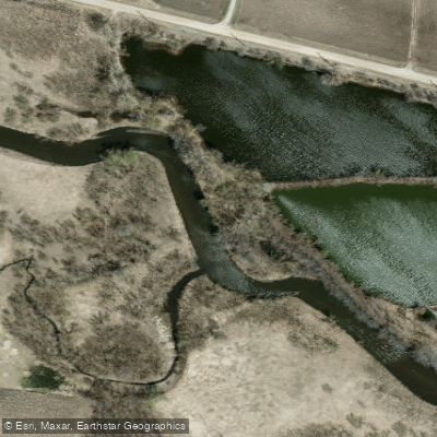
Torkelson Pits Wildlife Area Access
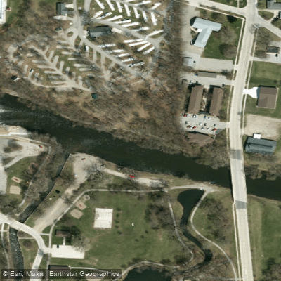
MacNider Park Access
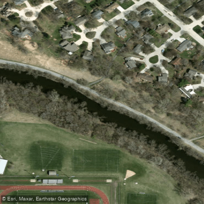
Asbury Park Access
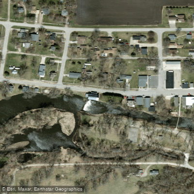
Fertile Mill Park Access
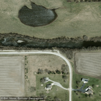
Avery Dale Access
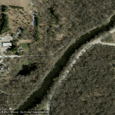
Lime Creek Access
Paddle smarter with real-time insights
Whether you're en route and conditions shift or you're looking for the best spot based on current flows, we enable you to make informed decisions on the fly.








Find Places to Paddle

Over 400,000 Places to Paddle
Every user gets free access to launch points, boat ramps, and public property parcels.


Water and weather conditions (10 day forecast)
See the best times to paddle Winnebago River and check the forecast before you go.
Winnebago River at Mason City, IA
Paddling near Winnebago River
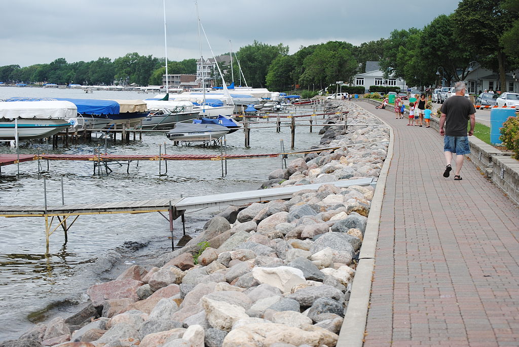
Clear Lake
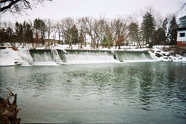
Cedar River
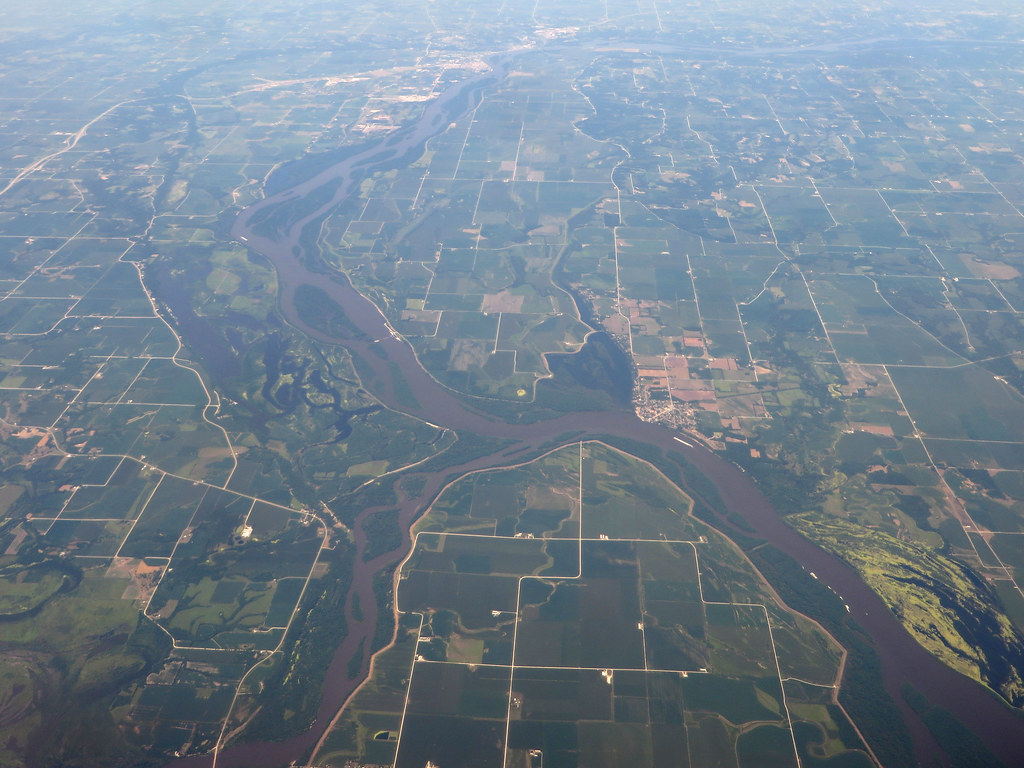
Iowa River
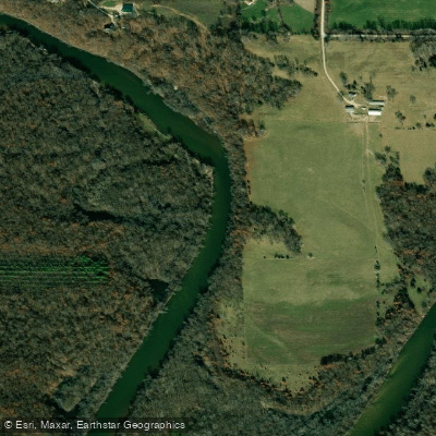
Wapsipinicon River
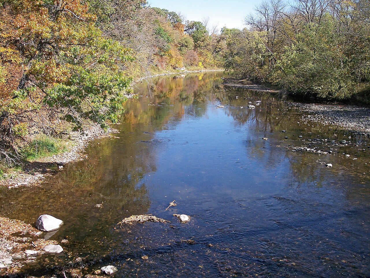
Boone River
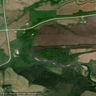
Turkey River
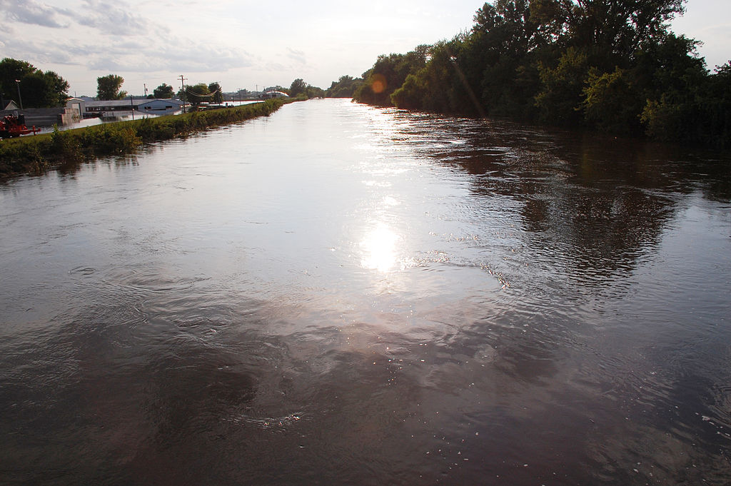
South Skunk River
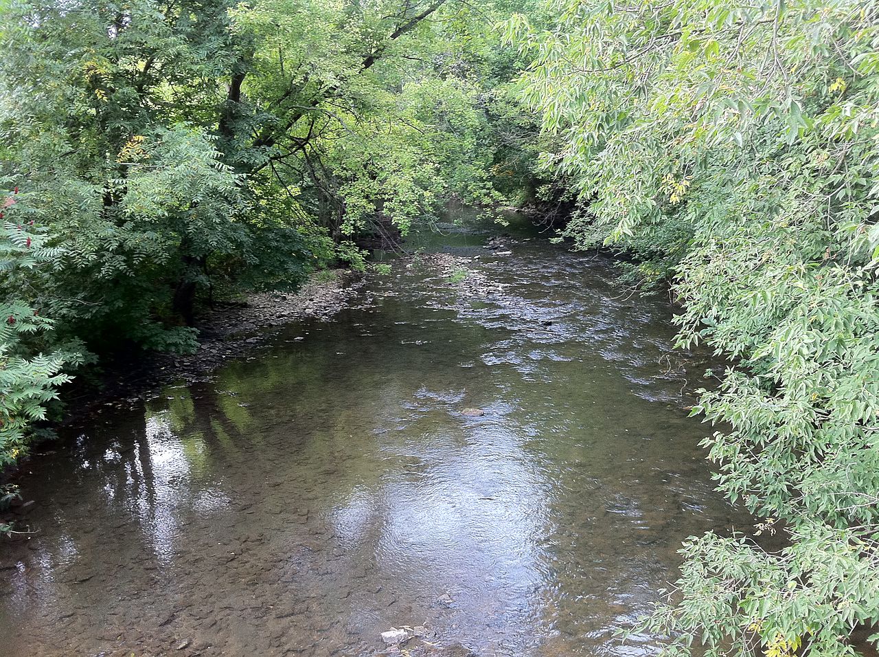
South Branch Root River
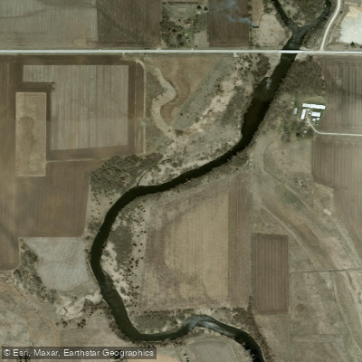
Shell Rock River
Explore Iowa waters
Top paddling waters
Popular Cities
Loading popular cities...
Explore near Winnebago River
Access points
Nearby waters
More in Iowa

Smarter Paddling Starts in the App.
Paddleways gives you everything you need to plan smarter, paddle better, and own every trip from first launch to takeout.