South Branch Root River
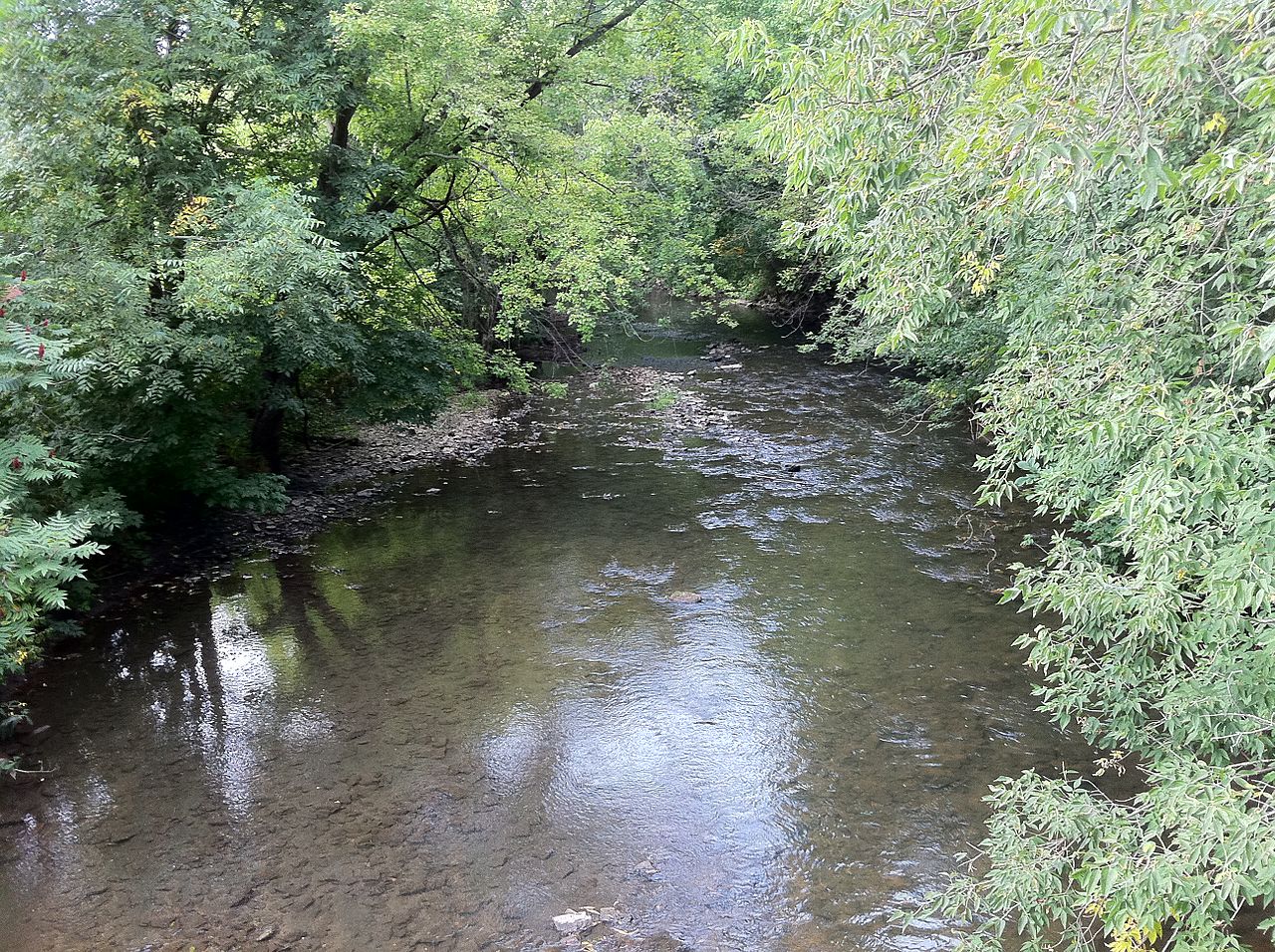
South Branch Root River
- Boat Ramps
- 2
- Access Points
- 10
- Campsites
- 11
The South Branch Root River is a scenic waterway in southeastern Minnesota's Driftless Area. Originating in western Fillmore County, it flows eastward for approximately 40 miles before joining the main stem of the Root River just downstream of Lanesboro. The river carves through a landscape of towering limestone bluffs and verdant valleys. Paddlers can enjoy several distinct sections, each offering its own character.
The upper reaches from Carimona to Preston feature a narrow, canopied channel with delightful riffles and standing waves. This 7-mile stretch is popular among anglers, as it's stocked annually with brown trout. The next 14-mile segment from Preston to Lanesboro continues the engaging paddling experience through state forest land, passing the Eagle Bluff Environmental Learning Center. The river's difficulty ranges from Class I to II, making it suitable for beginner to intermediate paddlers. Riffles and small rapids provide excitement, while calmer pools allow for relaxed floating. Spring and early summer typically offer the best water levels, though the river is often paddleable into fall.
The South Branch's corridor supports a diverse ecosystem. Paddlers may spot bald eagles, herons, and various songbirds. The surrounding bluffs showcase oak-hickory forests and limestone outcroppings characteristic of the Driftless Area.
Key access points include Highway 12 bridge in Carimona, Preston Trailhead Park, and Lanesboro. These charming small towns offer amenities and serve as gateways to the river experience. Lanesboro, in particular, is known for its quaint downtown and connection to the Root River State Trail.
For those seeking a multi-day adventure, it's possible to continue past the confluence onto the main Root River, potentially extending the trip all the way to the Mississippi River near La Crosse, Wisconsin. This longer journey would cover approximately 60-70 miles.
Paddlers should be aware of potential strainers and swift water, especially after heavy rains. Life jackets are required by law. The river's popularity for tubing and fishing means paddlers should be prepared to share the water, particularly on summer weekends.
The South Branch Root River offers a quintessential Driftless Area paddling experience, combining natural beauty, gentle whitewater, and access to charming river towns.
Water access, boat ramps & amenities
Learn how to get on South Branch Root River. Uncover great paddling access points, boat ramps, and all the facilities you need for an unforgettable day on the water. Some locations shown may border or include private property. Always check property boundaries and applicable regulations before visiting. PaddleWays's Public & Private Land layer can help you plan your access with confidence.
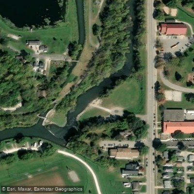
Root River, Lanesboro Shorefishing Public Water Access Site
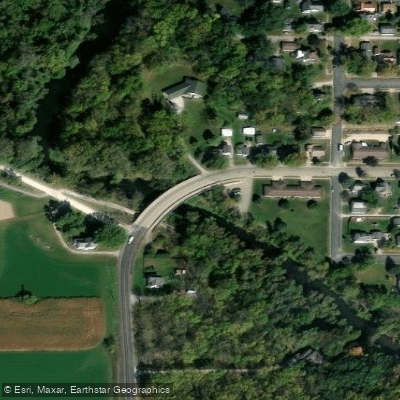
Root River, Preston Public Water Access Site
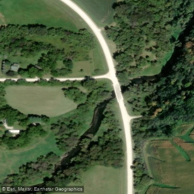
Carimon Access
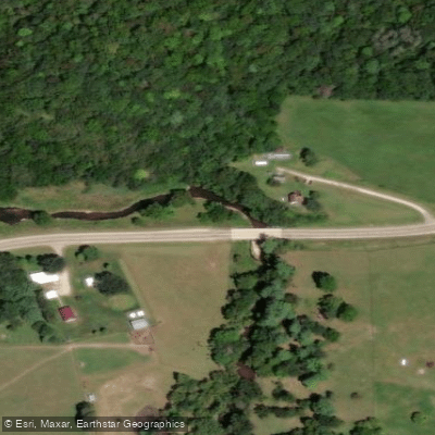
County Road 5 Access
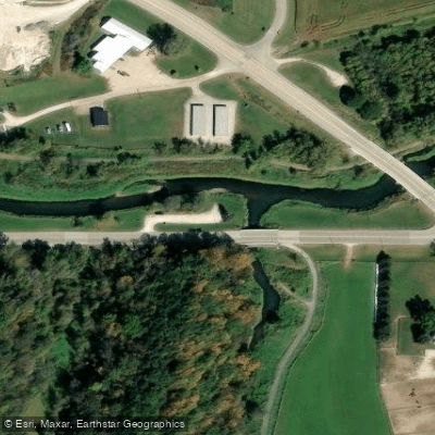
Pooler Park Access
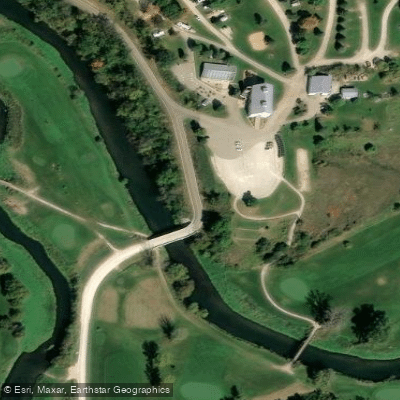
Heron Road Access
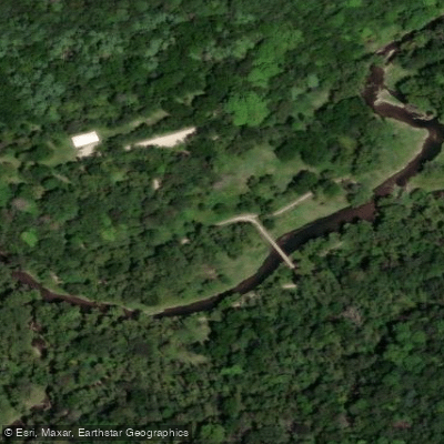
Park Trail Access
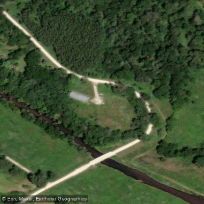
Forestville/Mystery Cave State Park Access
Paddle smarter with real-time insights
Whether you're en route and conditions shift or you're looking for the best spot based on current flows, we enable you to make informed decisions on the fly.








Find Places to Paddle

Over 400,000 Places to Paddle
Every user gets free access to launch points, boat ramps, and public property parcels.


Water and weather conditions (10 day forecast)
See the best times to paddle South Branch Root River and check the forecast before you go.
No forecast data available.
Paddling near South Branch Root River
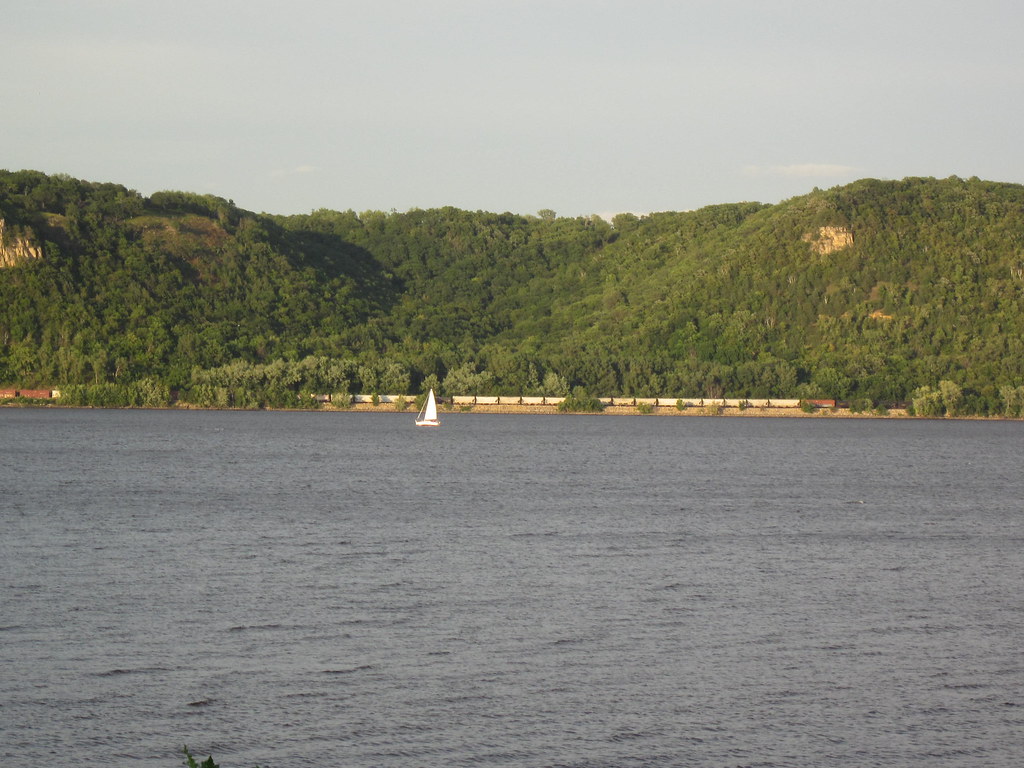
Lake Pepin
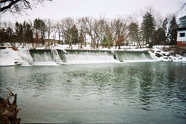
Cedar River
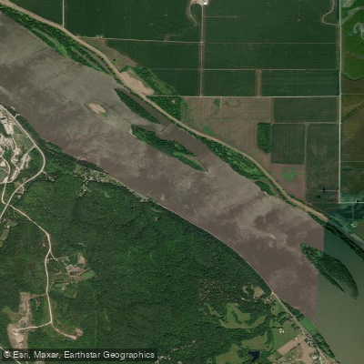
Mississippi River
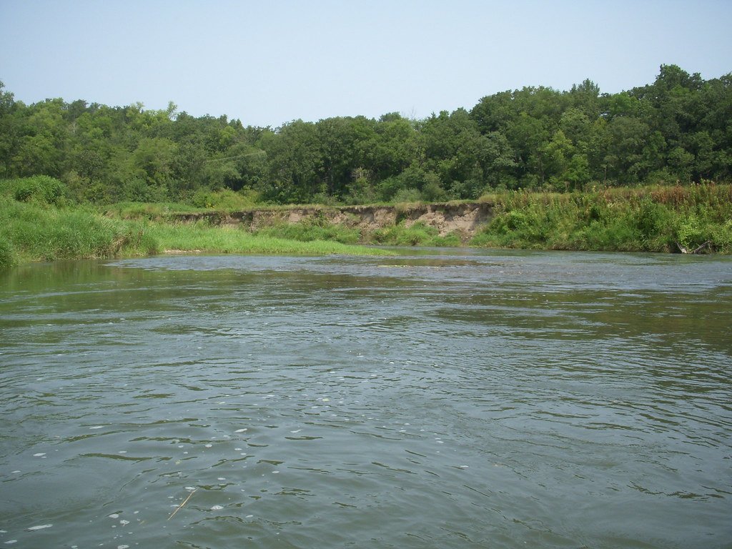
Root River
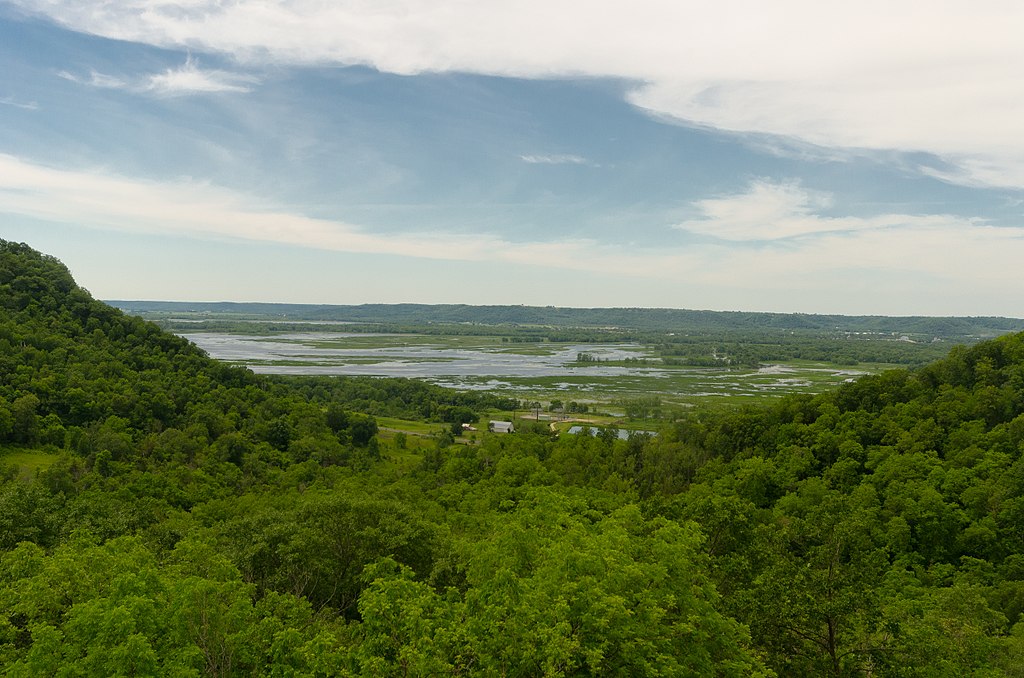
Chippewa River
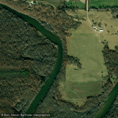
Wapsipinicon River
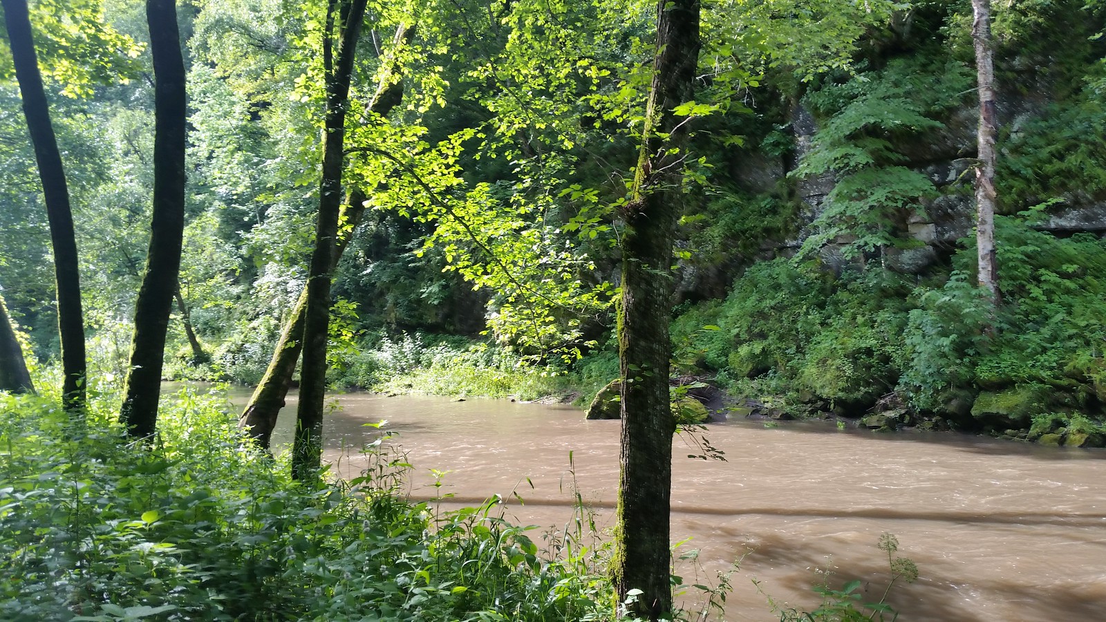
Whitewater River
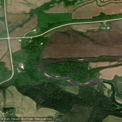
Turkey River
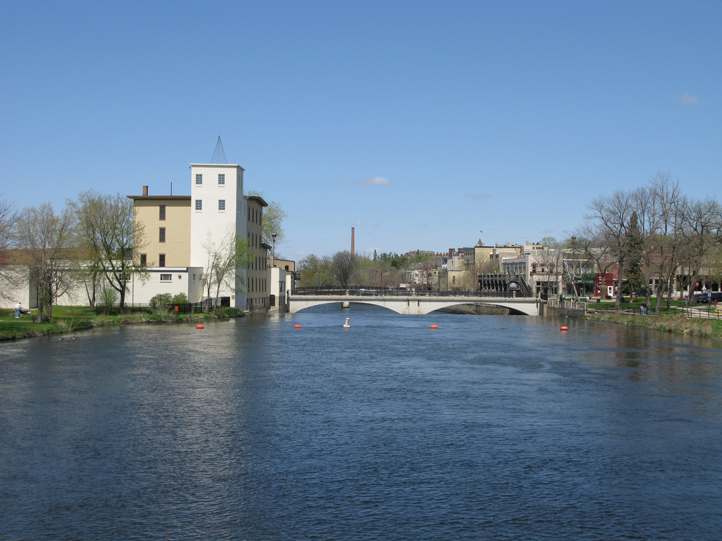
Cannon River
Explore Minnesota waters
Top paddling waters
Popular Cities
Loading popular cities...
Explore near South Branch Root River
Access points
- Root River Boat Ramp
- Root River Boat Ramp
- Root River, Lanesboro Shorefishing Public Water Access Site
- Root River, Preston Public Water Access Site
- Carimon Access
- County Road 5 Access
- Pooler Park Access
- Heron Road Access
- Park Trail Access
- Forestville/Mystery Cave State Park Access
- S Br Root River Bridge
- S Br Root River Bridge
- All 100 spots
Nearby waters
More in Minnesota

Smarter Paddling Starts in the App.
Paddleways gives you everything you need to plan smarter, paddle better, and own every trip from first launch to takeout.