Keith Sebelius Lake
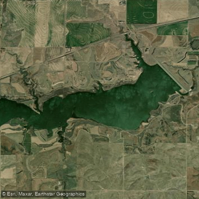
Keith Sebelius Lake
- Boat Ramps
- 2
- Access Points
- 2
- Campsites
- 0
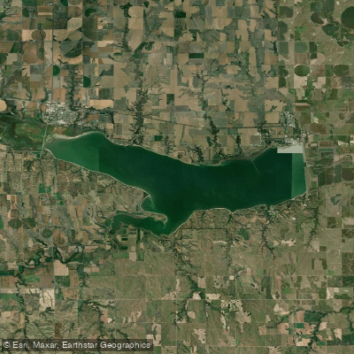
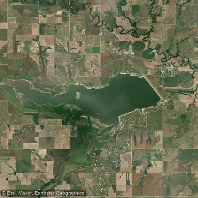
Keith Sebelius Lake encompasses 2,181 acres when at full pool in northwest Kansas, with 32 miles of shoreline surrounded by shortgrass prairie and tree-lined shores. The lake, created in 1964 with the construction of Norton Dam, serves multiple purposes including recreation, flood control, and water supply.
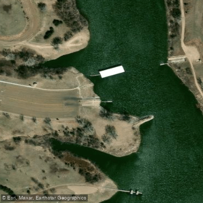
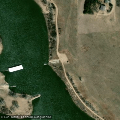
Paddling access is available via boat ramps, with two high-water ramps and one low-water ramp depending on water levels. The lake offers well-maintained access roads and nearly unlimited walk-in access points. Prairie Dog State Park, located on the north shore, provides primary public access to the water.
The lake's surroundings feature distinctive limestone cliffs and wooded canyons that transition from prairie landscapes. Wildlife viewing opportunities include waterfowl, which are particularly abundant during migration periods. The shoreline ranges from shallow areas to steep drop-offs, creating varied paddling environments.
Facilities at Prairie Dog State Park include camping areas, picnic spots, and a public fishing dock. A 1.4-mile nature trail along the shore provides opportunities to scout paddling routes. The park also preserves two historic 19th-century buildings: the last original adobe house in Kansas and a one-room schoolhouse.
Boaters should be aware that from November 1st through January 31st, the middle portion of the reservoir is designated as a waterfowl refuge and is closed to access. Water levels fluctuate throughout the year based on irrigation needs and local climate conditions, which can affect access points and paddling conditions.
The lake's maximum capacity provides a surface area of 6,713 acres with a surface elevation of 2,341 feet, though typical pool level maintains around 2,304 feet elevation. Recent habitat improvements have increased wetland areas around the reservoir and along Prairie Dog Creek, creating additional paddling environments to explore.
Water access, boat ramps & amenities
Learn how to get on Keith Sebelius Lake. Uncover great paddling access points, boat ramps, and all the facilities you need for an unforgettable day on the water. Some locations shown may border or include private property. Always check property boundaries and applicable regulations before visiting. PaddleWays's Public & Private Land layer can help you plan your access with confidence.
Paddle smarter with real-time insights
Whether you're en route and conditions shift or you're looking for the best spot based on current flows, we enable you to make informed decisions on the fly.








Find Places to Paddle

Over 400,000 Places to Paddle
Every user gets free access to launch points, boat ramps, and public property parcels.


Water and weather conditions (10 day forecast)
See the best times to paddle Keith Sebelius Lake and check the forecast before you go.
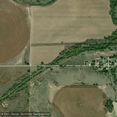
Keith Sebelius Lake and Norton Dam
Explore Kansas waters
Top paddling waters
Popular Cities
Loading popular cities...
Explore near Keith Sebelius Lake
Access points
Nearby waters
More in Kansas

Smarter Paddling Starts in the App.
Paddleways gives you everything you need to plan smarter, paddle better, and own every trip from first launch to takeout.