North Fork Solomon River
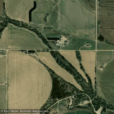
North Fork Solomon River
- Boat Ramps
- 1
- Access Points
- 1
- Campsites
- 0
The North Fork Solomon River is a significant waterway in north-central Kansas, originating in the High Plains of the northwestern part of the state. It flows generally eastward, forming part of the Smoky Hill drainage basin. The river's journey spans approximately 180 miles before it joins the South Fork Solomon River to form the main stem of the Solomon River, which eventually meets the Smoky Hill River near Solomon, Kansas.
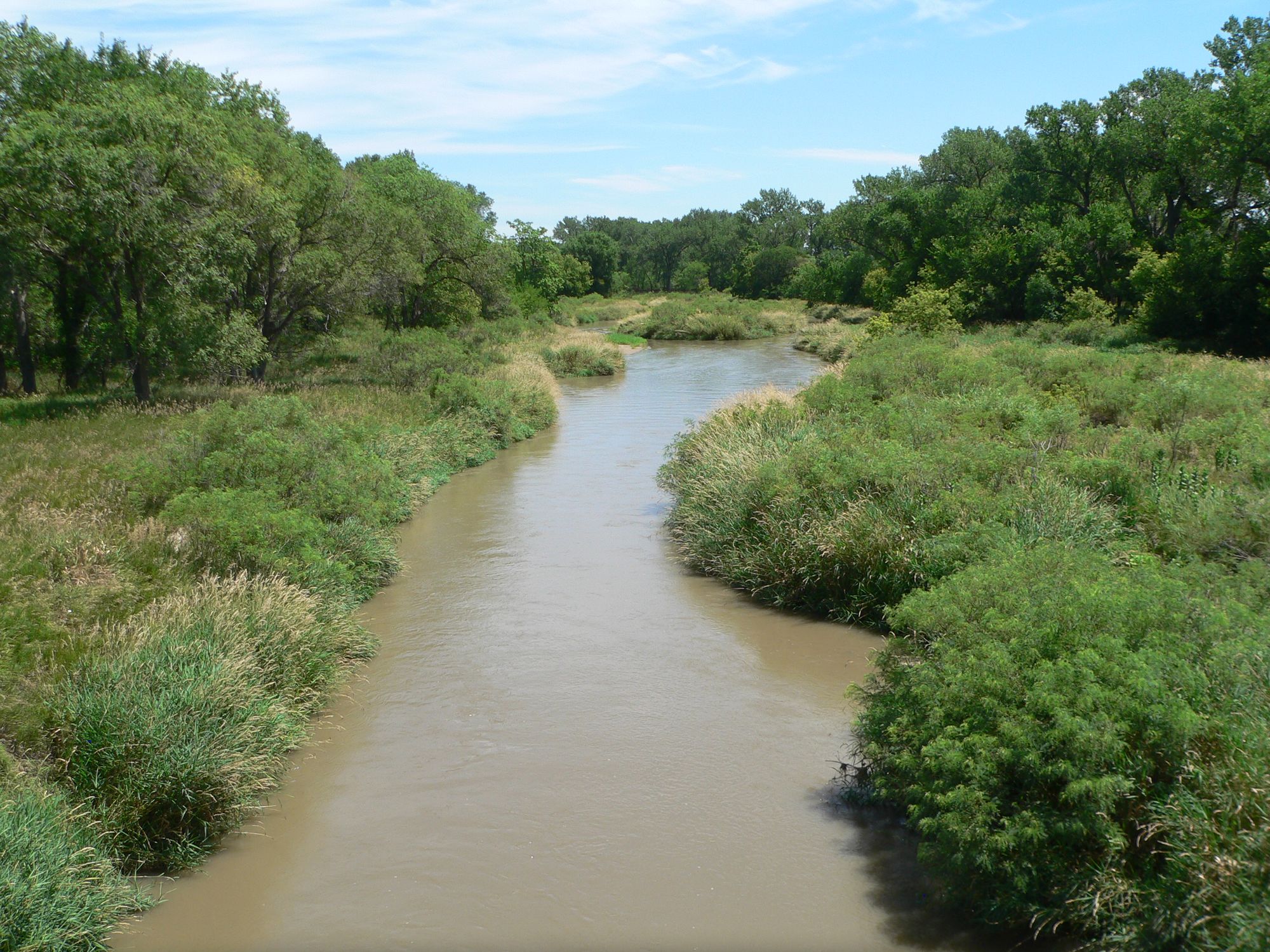
Paddling opportunities on the North Fork Solomon are limited and seasonal due to its typically shallow nature, with average depths often ranging from 0.5 to 1 foot in many segments. The river is best suited for experienced paddlers who are comfortable with flatwater conditions and potential obstacles such as sandbars and fallen trees. Kayaks and canoes are the most suitable craft for navigating this waterway. The overall difficulty of the North Fork Solomon is generally considered flatwater, making it accessible to intermediate paddlers. However, water levels can fluctuate significantly based on rainfall and snowmelt, affecting paddling conditions.
The best times for paddling are typically in spring and early summer when water levels are higher due to snowmelt and spring rains. The river valley supports a diverse ecosystem, with cottonwood and willow trees lining the banks. Wildlife enthusiasts may spot white-tailed deer, wild turkeys, and various bird species. The river is also home to several fish species, including channel catfish and various sunfish.
A key landmark along the North Fork Solomon is the Kirwin Reservoir, created by a dam completed in 1955 by the U.S. Bureau of Reclamation for flood control purposes. This reservoir, located just south of Kirwin, Kansas, offers additional recreational opportunities such as fishing and boating.
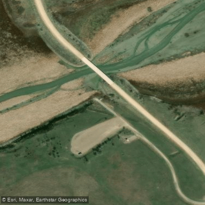
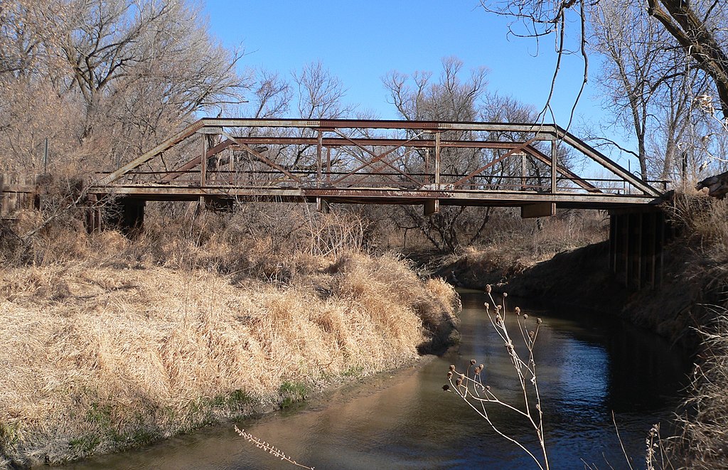
Access points for the river are limited, with most being bridge crossings or informal put-ins. The towns of Kirwin, Glade, and Portis are among the closest communities to the river, offering potential access points for paddlers.
The North Fork Solomon River holds historical significance as part of the settlement and agricultural development of north-central Kansas. Native American tribes, including the Pawnee and Kansa, inhabited the region before European settlement. The river valley later became important for early settlers, providing water for livestock and crops.
Safety considerations include checking water levels before paddling, as low water can lead to frequent portaging. Paddlers should also be aware of potential strainers and log jams, especially after high water events. There are no formal regulations specific to paddling on the North Fork Solomon, but standard river safety practices should be followed.
Multi-day trips on the North Fork Solomon are possible but require careful planning due to limited established campsites and access points. Paddlers attempting longer journeys should be self-sufficient and prepared for primitive camping conditions.
Water access, boat ramps & amenities
Learn how to get on North Fork Solomon River. Uncover great paddling access points, boat ramps, and all the facilities you need for an unforgettable day on the water. Some locations shown may border or include private property. Always check property boundaries and applicable regulations before visiting. PaddleWays's Public & Private Land layer can help you plan your access with confidence.
Paddle smarter with real-time insights
Whether you're en route and conditions shift or you're looking for the best spot based on current flows, we enable you to make informed decisions on the fly.








Find Places to Paddle

Over 400,000 Places to Paddle
Every user gets free access to launch points, boat ramps, and public property parcels.


Water and weather conditions (10 day forecast)
See the best times to paddle North Fork Solomon River and check the forecast before you go.
NF SOLOMON R AT GLADE, KS
All Flow Stations
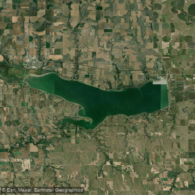
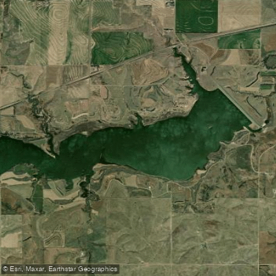
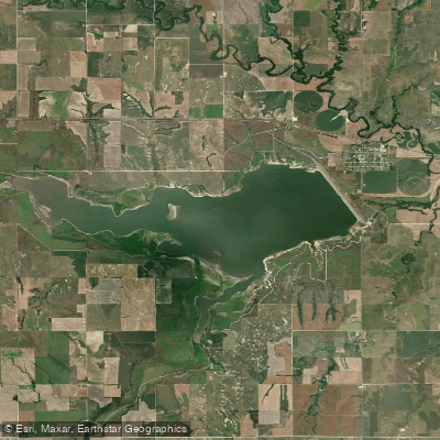
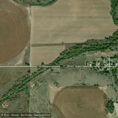
Explore Kansas waters
Top paddling waters
Popular Cities
Loading popular cities...
Explore near North Fork Solomon River
Access points
- Waconda-North Fork Boat Ramp
- North Fork Solomon River Bridge
- North Fork Solomon River Bridge
- N. Fork Solomon River Bridge
- North Fork Solomon River Bridge
- N. Fork Solomon River Bridge
- N. Fork Solomon River Bridge
- North Fork Solomon River Bridge
- N. Fork Solomon River Bridge
- North Fork Solomon River Bridge
- North Fork Solomon River Bridge
- North Fork Solomon River Bridge
- All 171 spots
Nearby waters
More in Kansas

Smarter Paddling Starts in the App.
Paddleways gives you everything you need to plan smarter, paddle better, and own every trip from first launch to takeout.