Curated by PaddleWays
RouteClass I
- Distance
- 40.8 mi
- Paddle time
- Multi-day
- Best for
- Kayak, canoe
- Put-in → take-out
- Ohio Brush Creek Canoe Launch → Ohio Brush Creek Boat Ramp
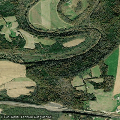
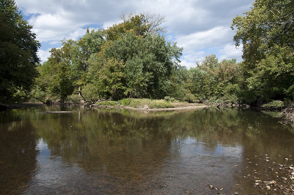
Ohio Brush Creek is a scenic waterway in southern Ohio, originating in Highland County and flowing south through Adams County before emptying into the Ohio River near Manchester. This 80-mile long creek is a major tributary of the Ohio River and forms part of the larger Ohio River watershed. The creek offers excellent paddling opportunities for canoeists and kayakers, with several popular sections ranging from 3 to 15 miles in length. The most commonly paddled stretches include OH 32 to OH 41, OH 125 to the Ohio River confluence, and the West Fork of Ohio Brush Creek. The difficulty ranges from flatwater to Class I-II rapids, making it suitable for beginners to intermediate paddlers.
Spring and early summer typically provide the best water levels for paddling, though the creek can be enjoyed year-round when conditions allow. Fall colors make for especially scenic trips. The surrounding landscape features a mix of forests, farmland, and limestone cliffs, providing habitat for diverse wildlife including great blue herons, beavers, and various fish species. Notable landmarks along Ohio Brush Creek include Serpent Mound, an ancient Native American effigy mound, and the Edge of Appalachia Preserve, which protects over 20,000 acres of ecologically significant land.
The creek flows through the heart of Adams County's Amish country, offering glimpses of a traditional rural lifestyle. Key access points include bridges at OH 32, OH 41, OH 125, and OH 348, as well as the newly developed Mackenzie Run Boat Ramp. The towns of West Union, Peebles, and Manchester serve as convenient base camps for paddling trips.
Ohio Brush Creek played a role in early settlement and transportation in the region. Today, it's valued for its recreational opportunities and as an important ecological corridor. Paddlers should be aware of potential strainers and fluctuating water levels, especially after heavy rains. For those seeking a multi-day adventure, it's possible to paddle the entire length of Ohio Brush Creek from near Serpent Mound to the Ohio River, with several campgrounds and access points along the way. This trip offers a comprehensive experience of southern Ohio's natural beauty and rich history.
Curated routes
Hand-picked by the PaddleWays team, with put-ins, take-outs, paddle times and the hazards along the way.
RouteClass I
Hazards
No hazards are marked on Ohio Brush Creek yet. That is not the same as none being there: if you find one, report it for the next paddler.
From the community
Real trips from PaddleWays paddlers: which route they ran, how the flows were, and what to watch for.
Loading trip reports
Michael D.
159 cfs at West Union
Ohio Brush Creek Canoe Launch to End of Route
James T.
1,920 cfs at West Union
Serpent mount to 125 bridge
See exactly where the public can get on and off the river. Launch points and boat ramps are paired with PaddleWays' public land data so you know where you can legally land.
Public shoreline
0%of the river's shoreline is public
Most of the riverbank is private. Launch, land and camp only at public access points.
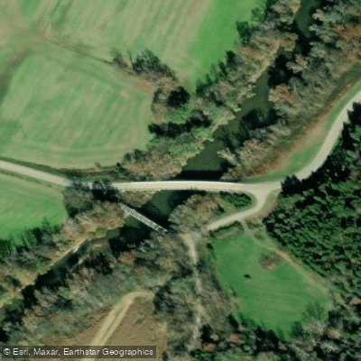
Boat Ramp
Boat Ramp
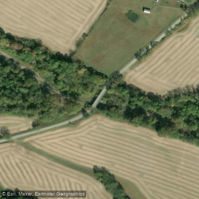
Boat Ramp
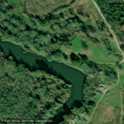
Boat Ramp
Showing 4 of 13 boat ramps.
Flows, weather and a route-by-route verdict, so you know which stretch of the Ohio Brush Creek is worth paddling today.
Live flows, marked hazards and fresh trip reports from paddlers who were just on the water, all in one place.





Every user gets free access to launch points, boat ramps, and public property parcels.
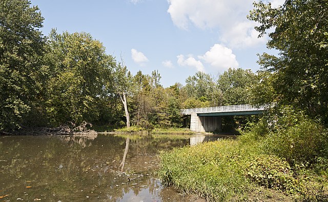

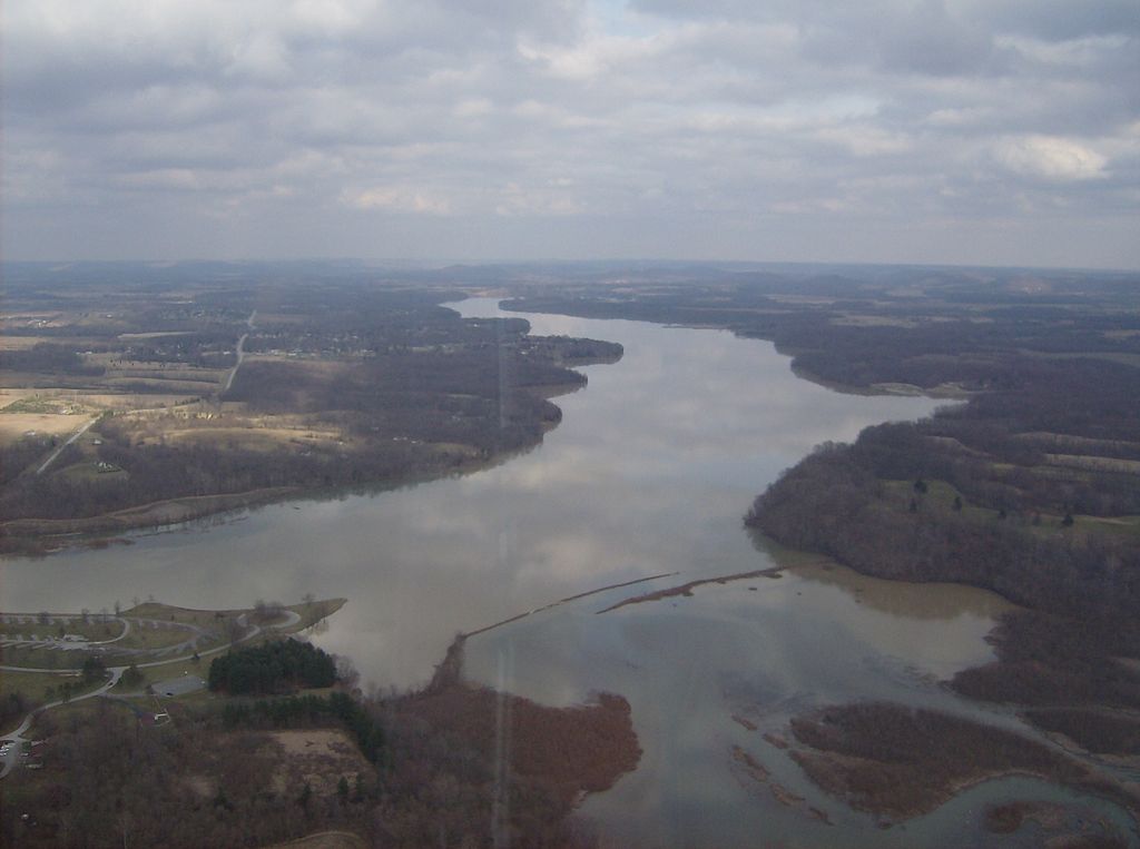
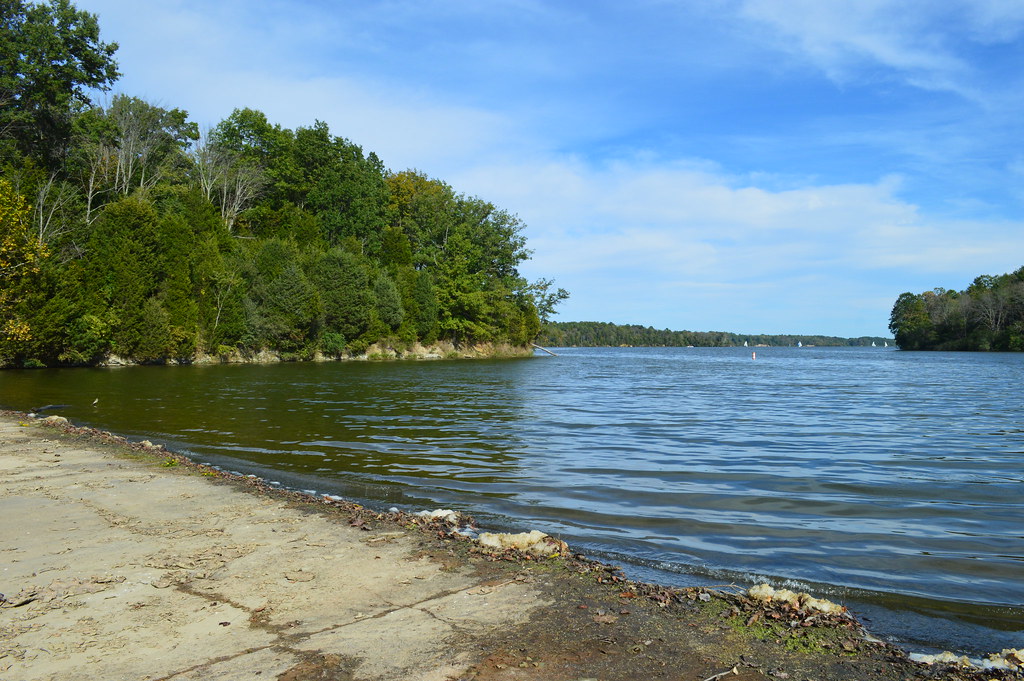
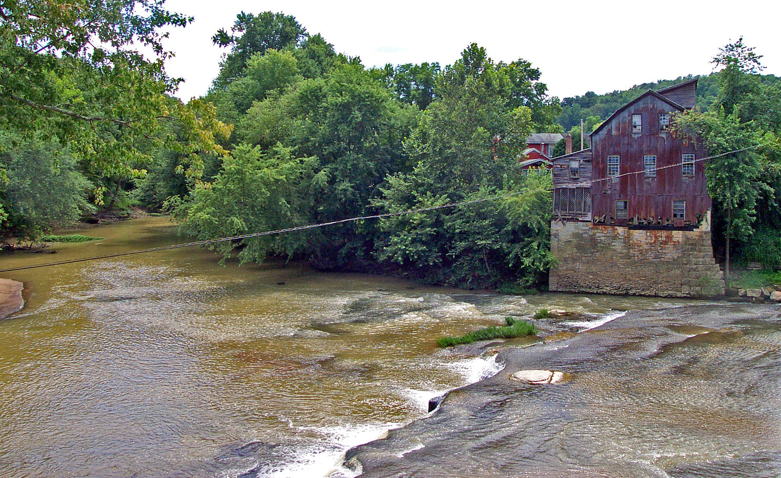
Loading popular cities...
PaddleWays gives you everything you need to plan smarter, paddle better, and own every trip from first launch to takeout.





