Curated by PaddleWays
RouteFlatwater
- Distance
- 3.7 mi
- Paddle time
- ~1 hr
- Put-in → take-out
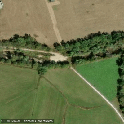
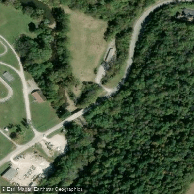
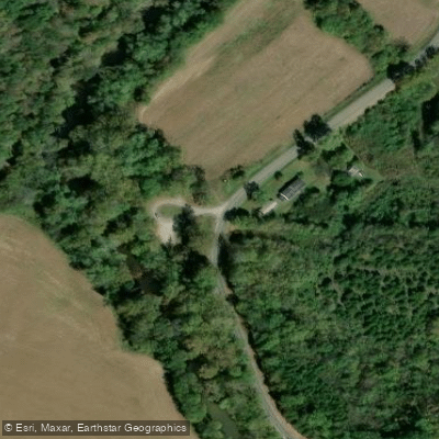
- Lions Club Boat Ramp → Old Slate Furnace Boat Ramp
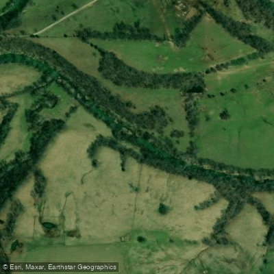
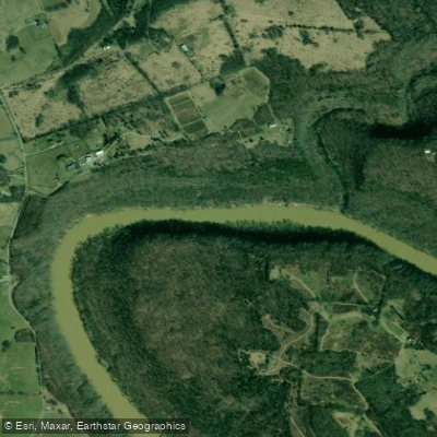
Slate Creek originates in the highlands of eastern Kentucky and flows northwest through Menifee, Bath, and Montgomery counties before joining the Licking River near Wyoming Ford. This tributary carves through a landscape of shale-dominated geology, creating the characteristically wide valley that distinguishes streams in this region. The creek stretches approximately 93 kilometers, with siltstone cliffs and sandstone-capped knobs bounding its alluvial floodplain.
Paddlers will find Slate Creek offers a genuine backcountry experience with multiple access points facilitating trips of varying lengths. The primary paddling corridor extends from Howards Mill Dam downstream through Lions Club Park and Old Slate Furnace Park, continuing to Forge Mill Dam before reaching the confluence with the Licking River. The total distance from Howards Mill Dam to Wyoming Ford measures approximately 36 miles, with intermediate access points allowing for day trips ranging from 3.7 to 19 miles. Recommended river levels for optimal paddling conditions fall around 200 cubic feet per second, though the creek is floatable across a range of flows.
The creek supports a robust warm-water fishery featuring largemouth bass, smallmouth bass, Kentucky spotted bass, and rock bass. Anglers will find productive habitat in the deeper pools and around submerged structure. The surrounding riparian corridor provides habitat for white-tailed deer, various waterfowl, and the eastern hellbender salamander, Kentucky's largest amphibian species.
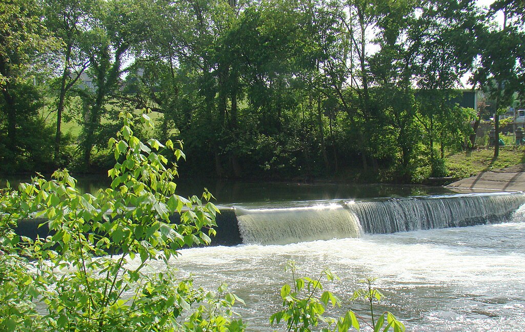
Notable landmarks include the historic Howards Mill Dam, Lions Club Park in Frenchburg (the Menifee County seat), and Old Slate Furnace Park, which references the area's 19th-century iron industry. The creek's name derives from the slate-like shale formations prevalent throughout the watershed. These impermeable clay shales create the numerous perennial tributaries that feed the main stem. Access points are concentrated near population centers, with Frenchburg serving as the primary hub for paddlers exploring the upper sections.
The creek flows through predominantly rural landscape characterized by mixed hardwood forests, agricultural bottomlands, and occasional rock outcroppings. Spring and early summer typically provide the most reliable water levels, while late summer and fall may require checking current conditions before launching. Paddlers should exercise standard river safety practices, including wearing personal flotation devices and being aware of potential strainers from fallen trees in this relatively remote waterway. The creek's moderate gradient and generally forgiving character make it suitable for intermediate paddlers, though beginners with basic skills can navigate most sections during favorable conditions. Low-head dams require portaging at designated locations.
Curated routes
Hand-picked by the PaddleWays team, with put-ins, take-outs, paddle times and the hazards along the way.
RouteFlatwater
RouteFlatwater
Hazards
No hazards are marked on Slate Creek yet. That is not the same as none being there: if you find one, report it for the next paddler.
From the community
Nobody has shared a trip on Slate Creek yet. Paddle it, then tell the next paddler how it went.
See exactly where the public can get on and off the river. Launch points and boat ramps are paired with PaddleWays' public land data so you know where you can legally land.
Public shoreline
0%of the river's shoreline is public
Most of the riverbank is private. Launch, land and camp only at public access points.
Flows, weather and a route-by-route verdict, so you know which stretch of the Slate Creek is worth paddling today.
Live flows, marked hazards and fresh trip reports from paddlers who were just on the water, all in one place.





Every user gets free access to launch points, boat ramps, and public property parcels.
Loading popular cities...
PaddleWays gives you everything you need to plan smarter, paddle better, and own every trip from first launch to takeout.