Curated by PaddleWays
RouteClass II
- Distance
- 19.3 mi
- Paddle time
- ~6.5 hrs
- Put-in → take-out
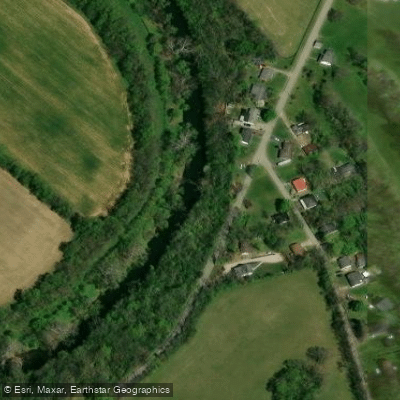
- Clay Mills Access → Kayaking the Midway Boat Ramp
Numerous strainers and fences
South Elkhorn Creek is a scenic waterway in central Kentucky, originating near Lexington and flowing northwest for approximately 52 miles before joining North Elkhorn Creek to form Elkhorn Creek proper, which then empties into the Kentucky River near Frankfort. The creek is part of the Kentucky River watershed and ultimately drains into the Ohio River.
Paddling opportunities on South Elkhorn Creek are diverse and appealing to a wide range of skill levels. The most popular section is the 7-mile stretch known as The Palisades, featuring Class II+ rapids and towering 200-foot limestone cliffs. Another notable section is The Gorge, also 7 miles long, offering a more relaxed paddling experience with Class II rapids. The creek's difficulty ranges from flatwater to Class II+, making it suitable for beginners to intermediate paddlers.
The best paddling season is typically spring through early summer when water levels are optimal. Late summer and fall can see lower water levels, potentially requiring portaging in some shallow areas. The creek is known for its excellent smallmouth bass fishing, particularly from March through June.
South Elkhorn Creek's ecosystem supports a variety of wildlife, including numerous bird species, deer, and aquatic life. The surrounding landscape features a mix of deciduous forests and limestone outcroppings, creating a picturesque setting for paddlers. Key landmarks include the historic Peaks Mill Bridge and the confluence with North Elkhorn Creek. The creek passes through or near several notable areas, including the T.N. Sullivan Wildlife Management Area and the Peter W. Pfeiffer Fish Hatchery.
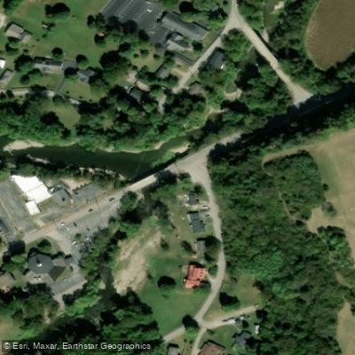
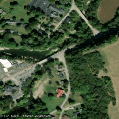
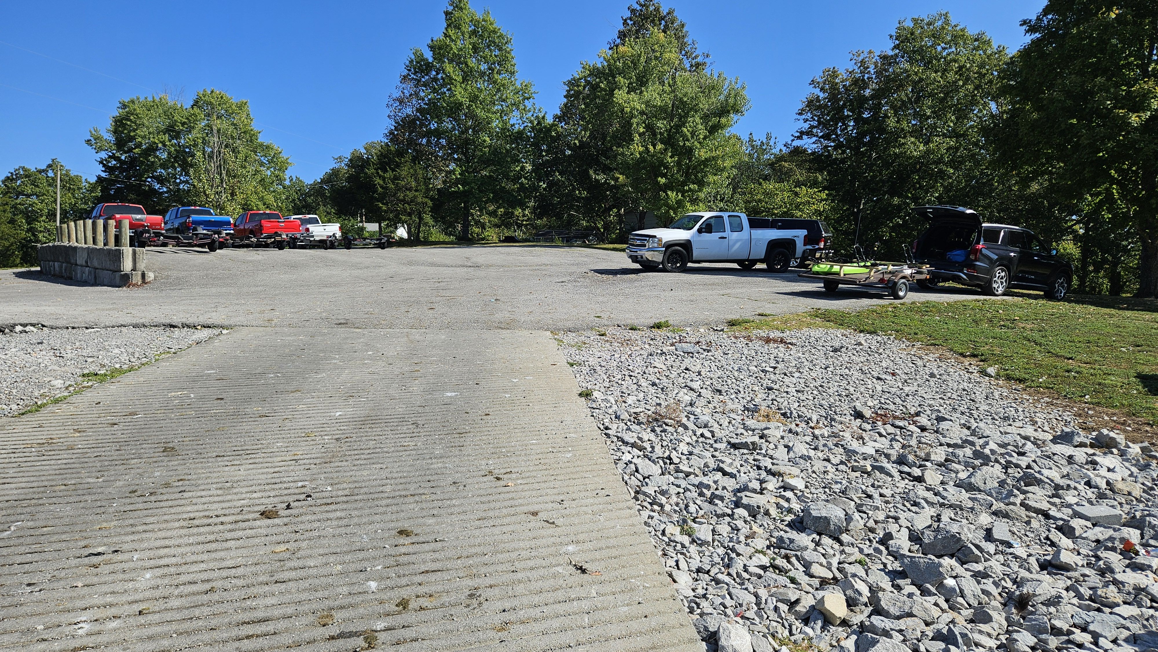
Popular access points include: 1. US 460 bridge near Frankfort (put-in for The Palisades section) 2. Forks of Elkhorn (Blue Water Trail start) 3. Pfeiffer Fish Hatchery on Indian Gap Road 4. Still Waters Campground (take-out at the confluence with the Kentucky River)
The creek holds historical significance, having powered mills during Kentucky's early settlement period. Today, it serves as an important recreational resource for the region, attracting paddlers, anglers, and nature enthusiasts.
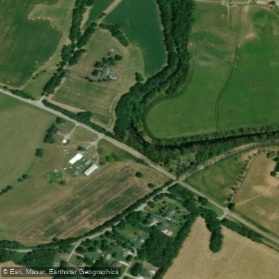
Safety considerations include being aware of strainers and fences in some sections, particularly near Clays Mill. Paddlers should check water levels before trips, as low water can lead to dragging in summer months. While most trips on South Elkhorn Creek are day excursions, the full 17-mile Blue Water Trail from Forks of Elkhorn to Still Waters Campground offers potential for overnight adventures for those seeking a longer paddling experience.
Curated routes
Hand-picked by the PaddleWays team, with put-ins, take-outs, paddle times and the hazards along the way.
RouteClass II
Hazards
No paddler has reported a hazard here yet, so these are the dams, falls and big rapids on our map. Hazards change with flows and storms, so check them before you launch.
From the community
Nobody has shared a trip on South Elkhorn Creek yet. Paddle it, then tell the next paddler how it went.
See exactly where the public can get on and off the river. Launch points and boat ramps are paired with PaddleWays' public land data so you know where you can legally land.
Public shoreline
2%of the river's shoreline is public
Most of the riverbank is private. Launch, land and camp only at public access points.
Flows, weather and a route-by-route verdict, so you know which stretch of the South Elkhorn Creek is worth paddling today.
All Flow Stations
Live flows, marked hazards and fresh trip reports from paddlers who were just on the water, all in one place.





Every user gets free access to launch points, boat ramps, and public property parcels.

Loading popular cities...
PaddleWays gives you everything you need to plan smarter, paddle better, and own every trip from first launch to takeout.