Curated by PaddleWays
RouteFlatwater
- Distance
- 9.5 mi
- Paddle time
- ~3 hrs
- Put-in → take-out
- Washington Boat Ramp → Port Barre Boat Ramp
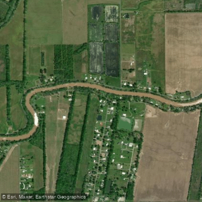
Bayou Courtableau is a significant waterway in south-central Louisiana, forming part of the headwaters of the renowned Bayou Teche. This bayou flows southeast from its origin near Washington, Louisiana, through St. Landry Parish before joining Bayou Teche at Port Barre. The bayou's course winds through a landscape typical of Louisiana's lowlands, characterized by cypress swamps, hardwood forests, and agricultural lands.
The most popular paddling section on Bayou Courtableau is the 12-mile stretch from Washington to Port Barre. This flatwater route offers an easy, downstream paddle suitable for beginners and families. The steady current and generally calm waters make for a pleasant journey, though paddlers should be prepared for potentially muddy bank conditions at launch and takeout points.
Seasonal patterns in this subtropical climate mean that spring and fall offer the most comfortable paddling conditions, with milder temperatures and lower humidity. Summer can be hot and humid, while winter may bring cooler temperatures and occasional cold fronts.
The bayou supports a rich ecosystem. Paddlers may encounter a variety of wildlife, including herons, egrets, and even bald eagles. The surrounding vegetation features Louisiana iris, water hyacinth, live oaks, and bald cypress trees, creating a quintessential Louisiana bayou setting.
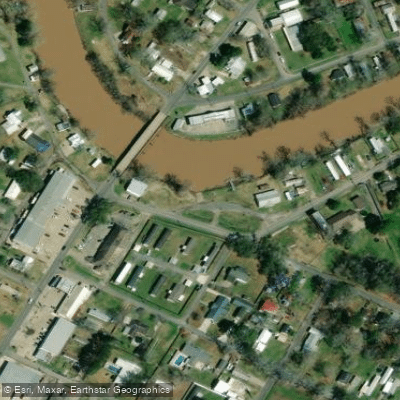
Key landmarks along the route include several bridges with clearances ranging from 16 to 24 feet. The bayou widens near Washington, a modification dating back to the steamboat era when the waterway was an important transportation route.
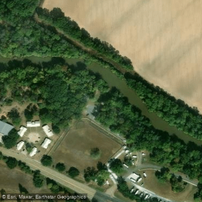
Access points for paddlers are located in Washington and Port Barre. The put-in at Washington features a double-width concrete boat launch with grassy areas for staging. Port Barre, where Bayou Courtableau meets Bayou Teche, serves as the primary takeout point.
Historically, Bayou Courtableau played a crucial role in the region's development. It was part of the steamboat network that connected inland communities to larger markets. The town of Washington, in particular, was an important steamboat turnaround point, highlighting the bayou's significance in 19th-century commerce.
Safety considerations include being aware of weather conditions, as sudden storms can occur. Paddlers should also be mindful of potential submerged obstacles and bring appropriate sun protection.
For those interested in longer adventures, Bayou Courtableau forms part of the larger Bayou Teche National Paddle Trail, which extends 135 miles through the heart of Cajun Country. This connection offers opportunities for multi-day trips exploring the rich cultural and natural heritage of southern Louisiana.
Curated routes
Hand-picked by the PaddleWays team, with put-ins, take-outs, paddle times and the hazards along the way.
RouteFlatwater
Hazards
No hazards are marked on Bayou Courtableau yet. That is not the same as none being there: if you find one, report it for the next paddler.
From the community
Nobody has shared a trip on Bayou Courtableau yet. Paddle it, then tell the next paddler how it went.
See exactly where the public can get on and off the river. Launch points and boat ramps are paired with PaddleWays' public land data so you know where you can legally land.
Public shoreline
0%of the river's shoreline is public
Most of the riverbank is private. Launch, land and camp only at public access points.
Flows, weather and a route-by-route verdict, so you know which stretch of the Bayou Courtableau is worth paddling today.
All Flow Stations
Live flows, marked hazards and fresh trip reports from paddlers who were just on the water, all in one place.





Every user gets free access to launch points, boat ramps, and public property parcels.

Loading popular cities...
PaddleWays gives you everything you need to plan smarter, paddle better, and own every trip from first launch to takeout.