Curated by PaddleWays
RouteFlatwater
- Distance
- 2.9 mi
- Paddle time
- ~1 hr
- Put-in → take-out
- Menetre Park Boat Ramp → Bogue Falaya Park Hand Launch
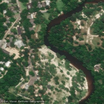
The Bogue Falaya River is a gentle, sandy-bottomed waterway flowing through southeastern Louisiana. Originating in Washington Parish, it meanders south through St. Tammany Parish before joining the Tchefuncte River near Covington. The river's name comes from the Choctaw words bogue meaning creek and falaya meaning long.
Paddling opportunities on the Bogue Falaya center around two main sections. The upper stretch from Bogue Falaya Park in Covington to the Lee Road Bridge offers a 5-7 mile trip suitable for beginners. Uniquely, this section allows for upstream paddling when water levels are low, typically below 1.75 feet at the USGS gauge on Boston Street bridge. The lower section near The Chimes Restaurant in Covington provides shorter, family-friendly excursions of 2-5 miles.
The river's difficulty is consistently rated as flatwater, making it accessible to paddlers of all skill levels. Its gentle current and sandy bottom create a forgiving environment for novices. However, motor boat traffic can be present, especially downstream of The Chimes.
Spring and fall offer ideal paddling conditions with comfortable temperatures and moderate water levels. Summer can be enjoyable but hot, while winter paddling is possible during milder periods.
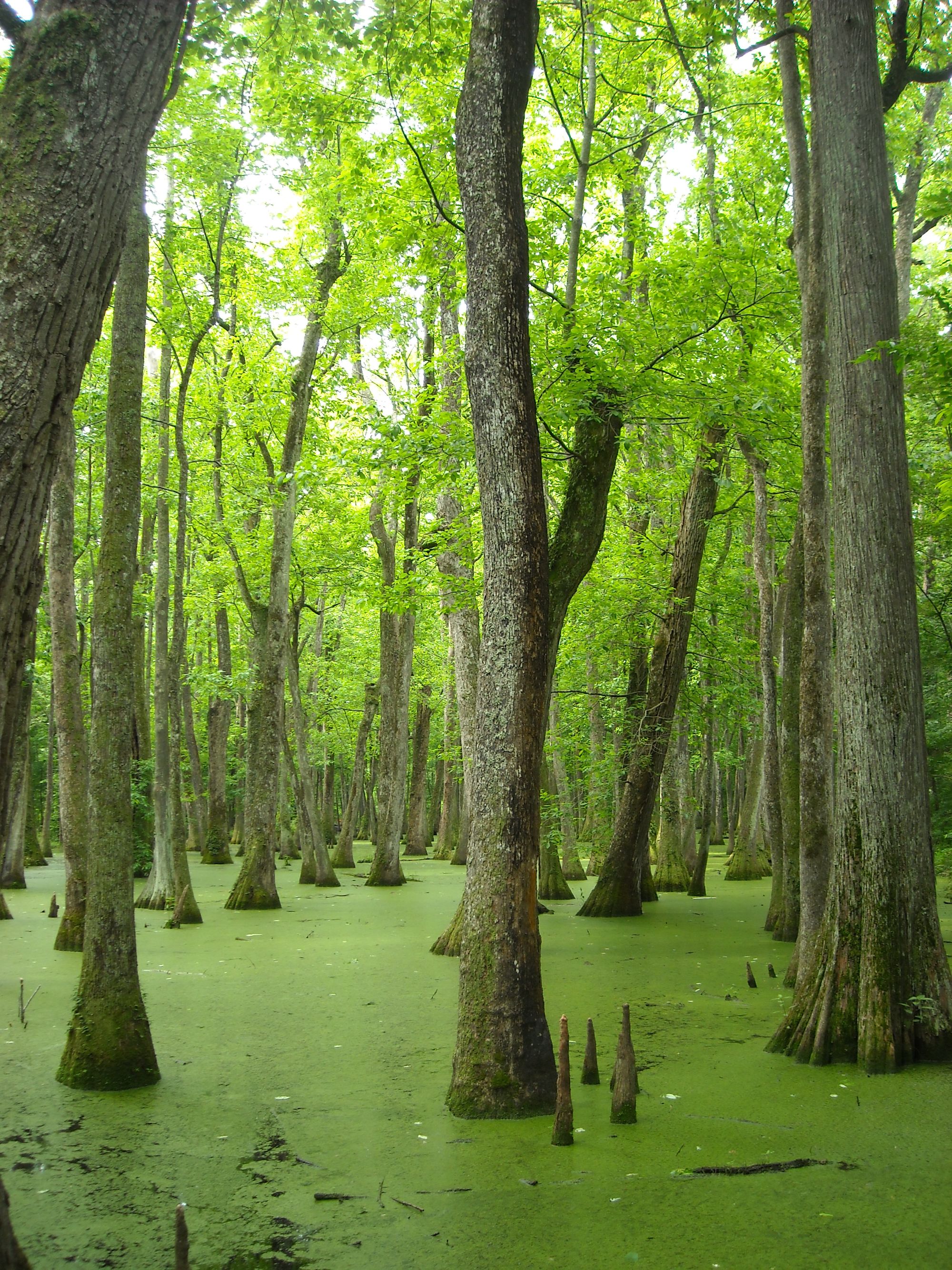
The Bogue Falaya's banks are lined with beautiful mossy trees, creating a quintessential Louisiana landscape. Wildlife sightings may include various bird species, though alligators are rare in the commonly paddled sections.
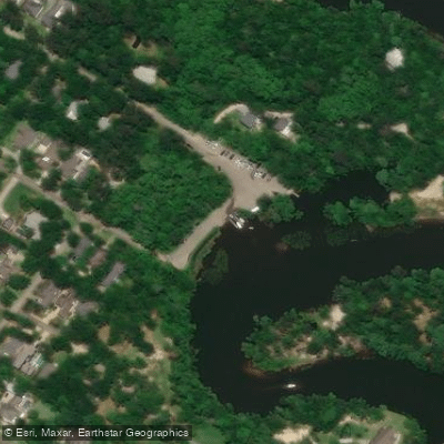
Key access points include Bogue Falaya Park and The Chimes Restaurant in Covington, as well as the Lee Road Bridge (LA 437). These launch sites provide easy access for day trips, with Covington offering amenities and accommodation for visitors.
Historically, the river played a role in the timber industry and early settlement of St. Tammany Parish. Today, it serves as a recreational asset for the community, with The Chimes Restaurant area becoming a popular hub for kayak, canoe, and paddleboard rentals.
Safety considerations include being aware of motor boat traffic, especially when paddling downstream. Checking water levels is crucial, particularly for those attempting upstream travel. While multi-day trips are not common, the river's connection to the Tchefuncte offers potential for extended journeys for more adventurous paddlers.
The Bogue Falaya provides a serene paddling experience that showcases the natural beauty of Louisiana's Northshore region, offering both locals and visitors a chance to explore its tranquil waters and lush surroundings.
Curated routes
Hand-picked by the PaddleWays team, with put-ins, take-outs, paddle times and the hazards along the way.
RouteFlatwater
RouteFlatwater
RouteFlatwater
Hazards
No hazards are marked on Bogue Falaya yet. That is not the same as none being there: if you find one, report it for the next paddler.
From the community
Real trips from PaddleWays paddlers: which route they ran, how the flows were, and what to watch for.
Loading trip reports
Trent H.
Kayak •
Menetre Park Boat Ramp to End of Route
See exactly where the public can get on and off the river. Launch points and boat ramps are paired with PaddleWays' public land data so you know where you can legally land.
Public shoreline
1%of the river's shoreline is public
Most of the riverbank is private. Launch, land and camp only at public access points.
Flows, weather and a route-by-route verdict, so you know which stretch of the Bogue Falaya is worth paddling today.
All Flow Stations
Live flows, marked hazards and fresh trip reports from paddlers who were just on the water, all in one place.





Every user gets free access to launch points, boat ramps, and public property parcels.
Loading popular cities...
PaddleWays gives you everything you need to plan smarter, paddle better, and own every trip from first launch to takeout.