Bass Harbor Bar
- Saltwater
- Harbor
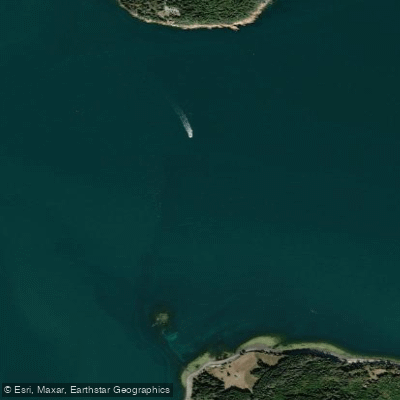
Bass Harbor Bar
- Saltwater
- Harbor
- Sq. miles
- 0.4
- Boat Ramps
- 0
- Access Points
- 0
- Campsites
- 2
Bass Harbor Bar is a significant offshore shoal located at the southern entrance to Blue Hill Bay, near the southwestern tip of Mount Desert Island in Maine. It is marked by navigational aids, including a green can buoy at the harbor mouth and a red-and-white "WB" gong buoy a few hundred yards west of its shallowest part. The bar is a known hazard for small craft, as conditions can deteriorate rapidly. Paddlers report that even a light breeze can quickly create a confused sea with closely spaced three- to four-foot waves over the bar, particularly when wind opposes tidal flow. The area is exposed to winds from the south and east, creating a substantial fetch. Navigating across the bar requires careful attention to tides; at mid-tide, depths over the bar are approximately 45 to 50 feet, but the shallow water amplifies wave action. The primary safety consideration is the potential for rough, turbulent conditions that can arise quickly with wind and tide, making it an area recommended only for paddlers with advanced skills and solid seamanship. It is frequently advised not to paddle here solo due to these combined hazards of wind, waves, and potential fog. The bar is guarded by the operational Bass Harbor Head Lighthouse onshore. The surrounding waters see boat traffic, including the Maine state ferry to Swans Island and Frenchboro, lobster boats, and other power vessels, so paddlers must maintain situational awareness. A direct route from Bass Harbor Head to the nearby Gott Islands crosses directly over the bar, which is a common but potentially challenging passage. Paddlers are strongly advised to consult detailed marine charts and local guidebooks, such as the MITA Guidebook or "Sea Kayaking the Maine Coast," for specific advice on crossing conditions.
Water access, boat ramps & amenities
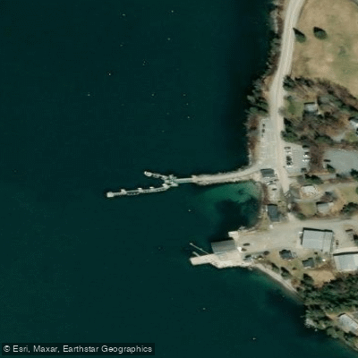
Learn how to get on Bass Harbor Bar. Uncover great paddling access points, boat ramps, and all the facilities you need for an unforgettable day on the water. Some locations shown may border or include private property. Always check property boundaries and applicable regulations before visiting. PaddleWays's Public & Private Land layer can help you plan your access with confidence.
Paddle smarter with real-time insights
Whether you're en route and conditions shift or you're looking for the best spot based on current flows, we enable you to make informed decisions on the fly.








Find Places to Paddle

Over 400,000 Places to Paddle
Every user gets free access to launch points, boat ramps, and public property parcels.


Tides, wind & water conditions (10 day forecast)
On open water, wind and tide matter as much as the weather. See the best times to paddle Bass Harbor Bar and check the marine forecast before you launch.
Loading tide predictions…
Paddling near Bass Harbor Bar
Penobscot River
Union River
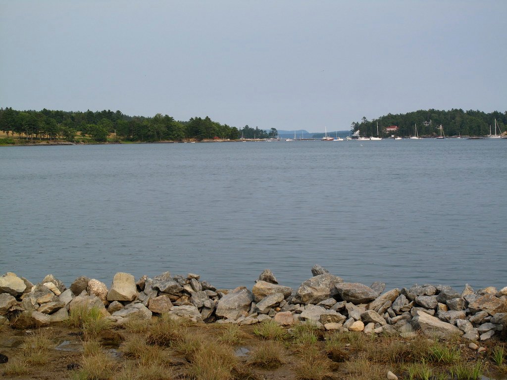
Blue Hill Bay
Long Pond
Narraguagus River
Somes Sound
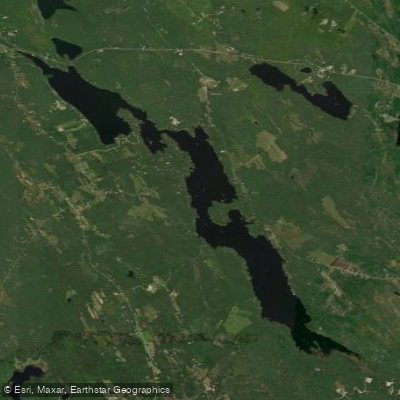
Toddy Pond
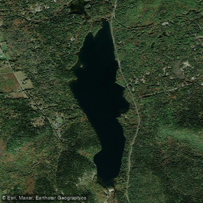
Echo Lake
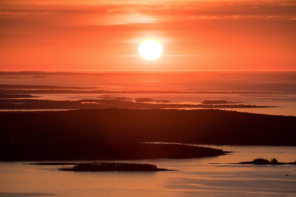
Frenchman Bay
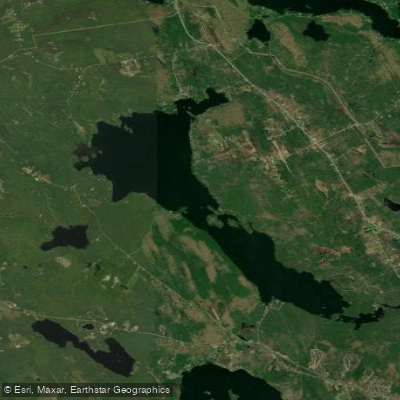
Branch Lake
Explore Maine waters
Top paddling waters
Popular Cities
Loading popular cities...
Explore near Bass Harbor Bar

Smarter Paddling Starts in the App.
Paddleways gives you everything you need to plan smarter, paddle better, and own every trip from first launch to takeout.