Curated by PaddleWays
RouteFlatwater
- Distance
- 6.5 mi
- Paddle time
- ~2 hrs
- Best for
- Canoe
- Put-in → take-out
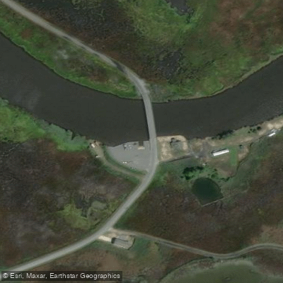
- Green Trail Turn Around Access → MD Route 335 at Blackwater National Wildlife Refuge Boat Ramp
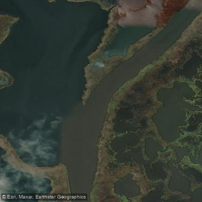
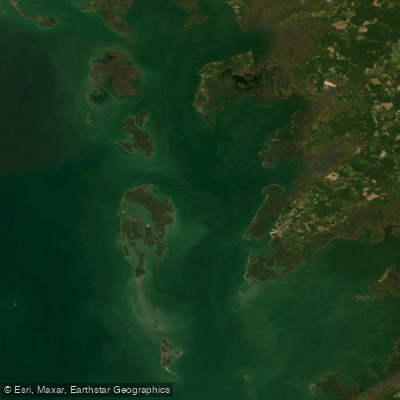
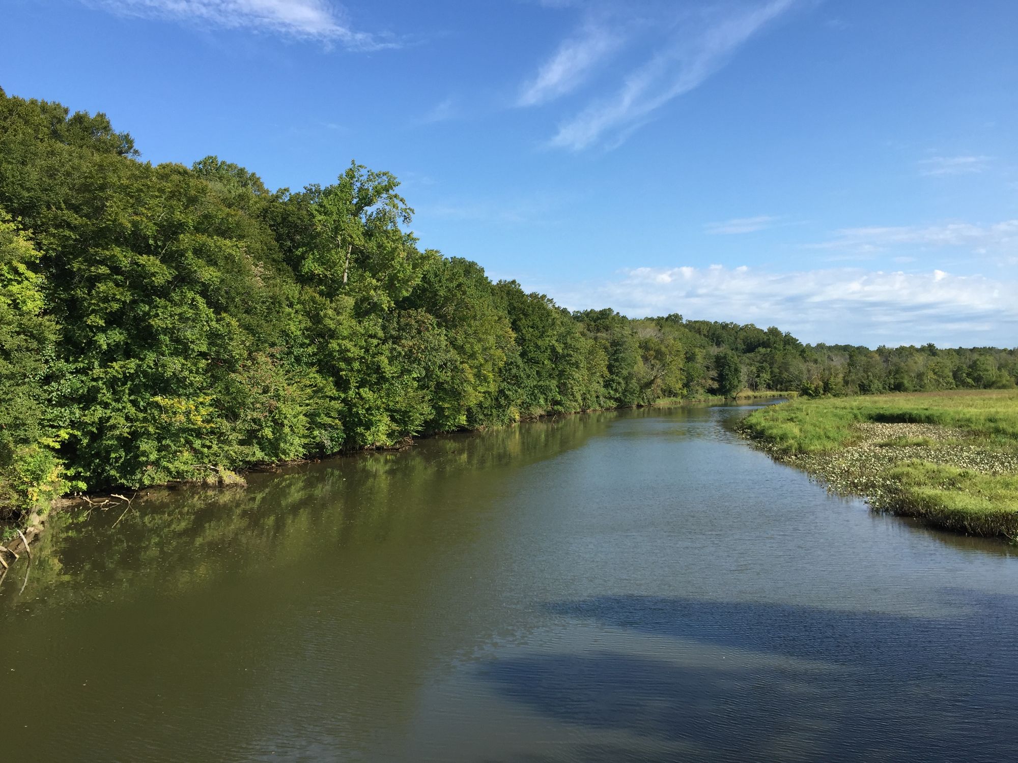
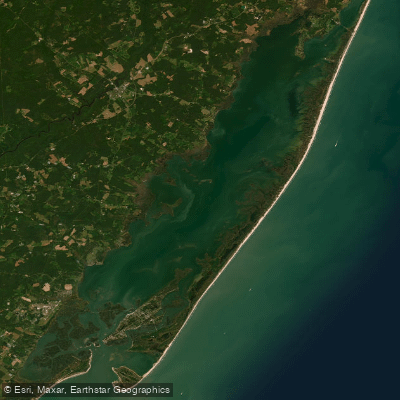
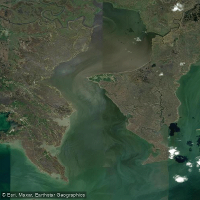
The Blackwater River is a tidal river system on Maryland's Eastern Shore, originating in the Blackwater National Wildlife Refuge and flowing southeast into Fishing Bay, an arm of the Chesapeake Bay. The river and its tributaries, including the Little Blackwater River and Transquaking River, form an intricate network of channels winding through expansive tidal marshes.
Paddling opportunities abound in this unique ecosystem. The Blackwater National Wildlife Refuge offers several marked water trails suitable for beginner to intermediate paddlers. The Green Trail is an 8-mile round trip from the Route 335 canoe launch, while the Purple Trail covers 9 miles one-way from Shorters Wharf. These flatwater routes wind through shallow marshes and open water, providing excellent wildlife viewing.
The river system experiences strong tidal influences, so paddlers should time trips with the tides and be aware of potential wind exposure in open areas. Spring and fall offer the most comfortable temperatures and best wildlife viewing, though summer can be enjoyable in the early morning.
The area is renowned for its diverse birdlife, including nesting bald eagles, ospreys, and great blue herons. Paddlers may also encounter river otters, muskrats, and the occasional northern diamondback terrapin. The marshes are dominated by cordgrass and needlerush, with loblolly pines lining the upland edges.
Key landmarks include the historic Bucktown Village Store, associated with Harriet Tubman's early life, and the Blackwater National Wildlife Refuge Visitor Center, which offers exhibits and trail maps. The primary access points are the Route 335 canoe launch, Shorters Wharf Public Boat Ramp, and the Transquaking River launch at Bespitch Ferry Road, all near the town of Cambridge.
The Blackwater River and surrounding marshes hold great historical significance as part of the Underground Railroad network. Today, the area faces challenges from sea level rise and marsh erosion, making it an important site for climate change research.
Paddlers should be prepared for potentially strong currents, especially in narrow channels. Personal flotation devices are required, and paddlers should carry plenty of water and sun protection. Multi-day trips are possible by combining routes, but camping is not permitted within the refuge. This paddling destination offers a serene escape into one of the East Coast's largest estuarine marshland complexes, providing intimate access to a fragile and vital ecosystem.
Curated routes
Hand-picked by the PaddleWays team, with put-ins, take-outs, paddle times and the hazards along the way.
RouteFlatwater
RouteClass I
Hazards
No hazards are marked on Blackwater River yet. That is not the same as none being there: if you find one, report it for the next paddler.
From the community
Nobody has shared a trip on Blackwater River yet. Paddle it, then tell the next paddler how it went.
See exactly where the public can get on and off the river. Launch points and boat ramps are paired with PaddleWays' public land data so you know where you can legally land.
Public shoreline
0%of the river's shoreline is public
Most of the riverbank is private. Launch, land and camp only at public access points.
Flows, weather and a route-by-route verdict, so you know which stretch of the Blackwater River is worth paddling today.
No forecast data available.
Live flows, marked hazards and fresh trip reports from paddlers who were just on the water, all in one place.





Every user gets free access to launch points, boat ramps, and public property parcels.


Loading popular cities...
PaddleWays gives you everything you need to plan smarter, paddle better, and own every trip from first launch to takeout.