Cacapon River
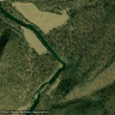
Cacapon River
- Boat Ramps
- 13
- Access Points
- 13
- Campsites
- 15
The Cacapon River is a scenic waterway flowing northward through the eastern panhandle of West Virginia. Originating near Wardensville, it winds approximately 125 miles before joining the Potomac River at Great Cacapon. Major tributaries include Edwards Run, Cold Stream, and Capon Springs Run. The river drains a watershed of about 680 square miles within the Potomac River Basin.
The Cacapon offers diverse paddling opportunities suitable for a range of skill levels. The upper sections from Capon Lake to Capon Bridge feature mostly Class I rapids, ideal for beginners and families. The middle stretch from Capon Bridge to Forks of Cacapon increases to Class II, with the popular 12.6-mile Caudy's Castle section providing an excellent mix of scenery and mild whitewater. The lower Cacapon from Route 127 to Great Cacapon spans over 38 miles of mostly flatwater, perfect for multi-day canoe camping trips. Water levels are typically best for paddling in spring and early summer, with a minimum recommended level of 2.0 feet at the Capon Bridge gauge.
The river is renowned for its clear waters, impressive geologic features, and diverse wildlife. Paddlers may spot bald eagles, herons, river otters, and various fish species including smallmouth bass and brook trout. Key landmarks include the historic Capon Lake Whipple Truss Bridge, Caudy's Castle rock formation, and the Yellow Spring. Access points are available near towns such as Wardensville, Capon Bridge, Largent, and Great Cacapon. The Cacapon River Water Trail provides detailed information on put-ins, take-outs, and river features.
The Cacapon holds cultural significance as a long-standing recreational resource for fishing, paddling, and nature appreciation. It played a role in early settlement and transportation in the region. Safety considerations include checking water levels before trips and being aware of occasional strainers or low-head dams. Some sections require portaging. Multi-day trips are possible, especially on the lower Cacapon, with primitive camping available along the banks. Local outfitters like Cacapon River Outfitters offer rentals and shuttle services for day trips.
The river's natural beauty, accessibility, and range of paddling options make it a cherished destination for both West Virginia residents and visitors seeking a quintessential Appalachian river experience.
Water access, boat ramps & amenities
Learn how to get on Cacapon River. Uncover great paddling access points, boat ramps, and all the facilities you need for an unforgettable day on the water. Some locations shown may border or include private property. Always check property boundaries and applicable regulations before visiting. PaddleWays's Public & Private Land layer can help you plan your access with confidence.
Paddle smarter with real-time insights
Whether you're en route and conditions shift or you're looking for the best spot based on current flows, we enable you to make informed decisions on the fly.








Find Places to Paddle

Over 400,000 Places to Paddle
Every user gets free access to launch points, boat ramps, and public property parcels.


Water and weather conditions (10 day forecast)
See the best times to paddle Cacapon River and check the forecast before you go.
CACAPON RIVER NEAR GREAT CACAPON, WV
Paddling near Cacapon River
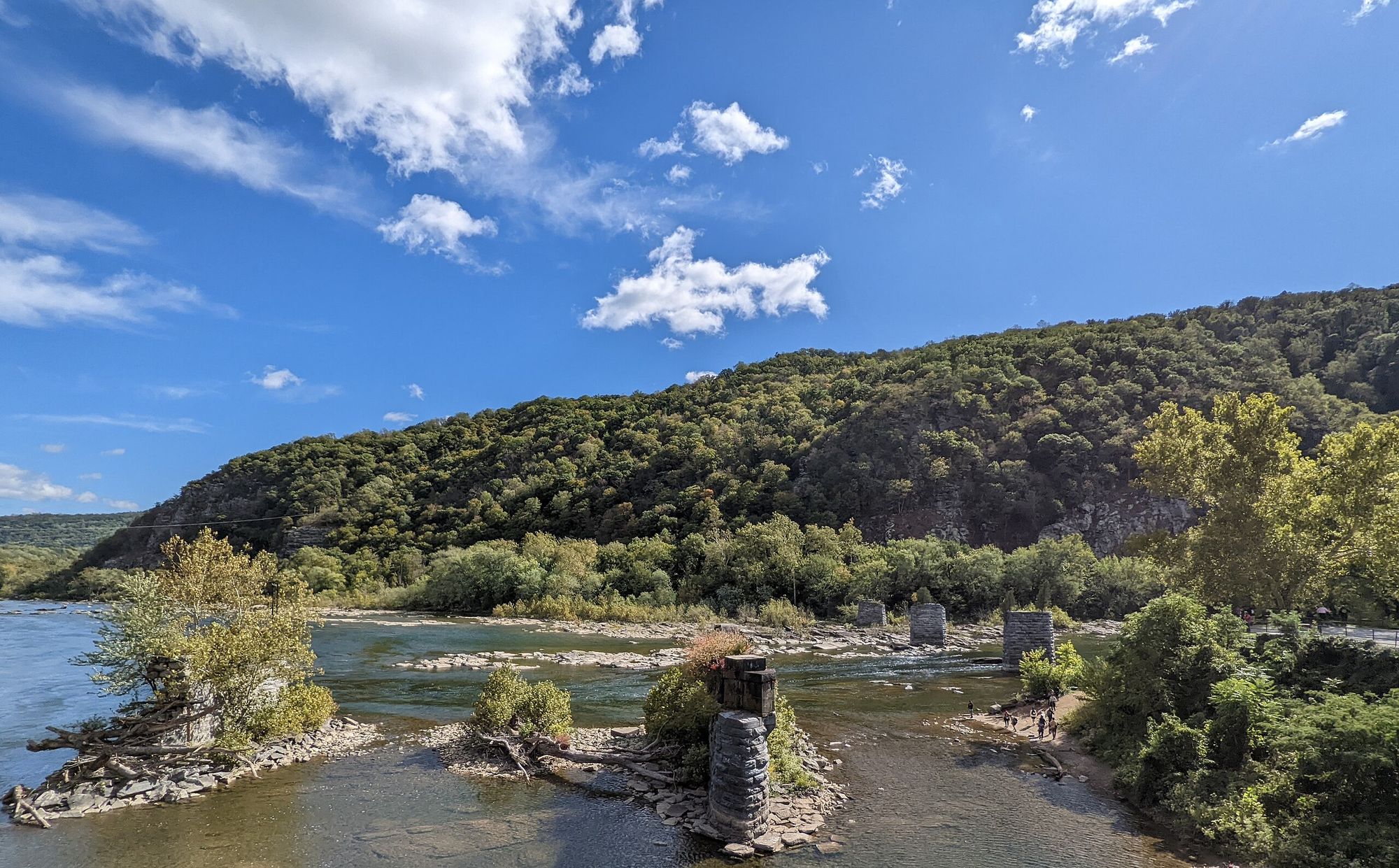
Shenandoah River
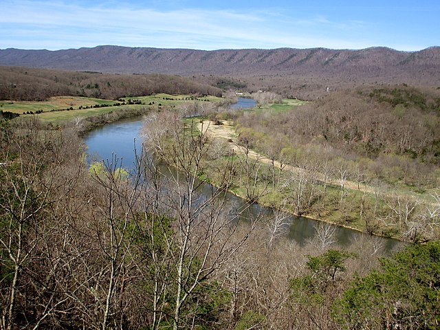
South Fork Shenandoah River

Potomac River

Rappahannock River
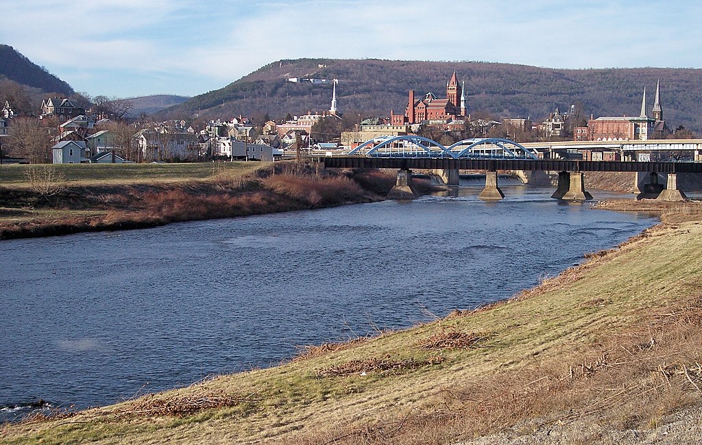
North Branch Potomac River
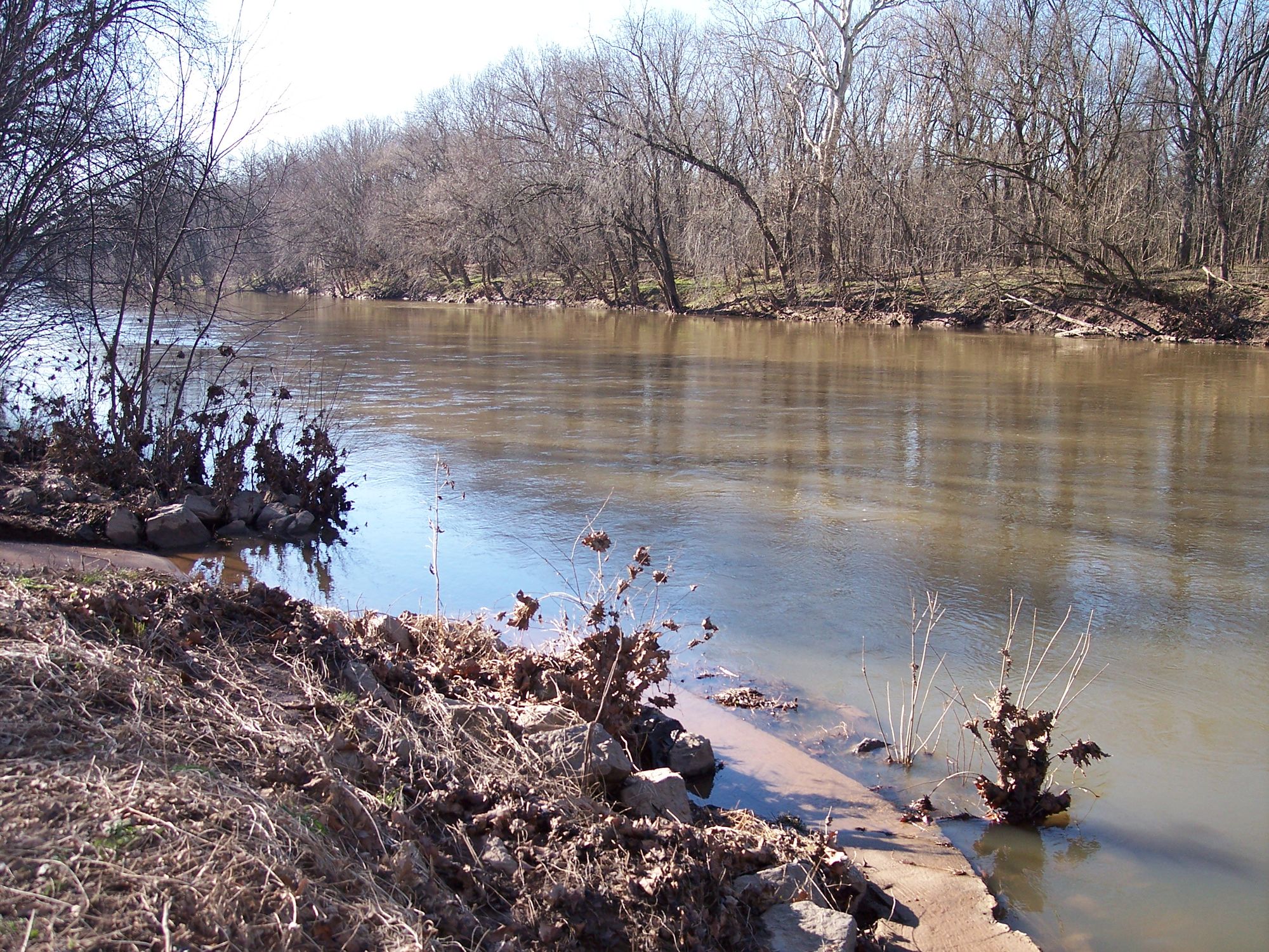
Monocacy River
Opequon Creek
Back Creek
North Fork Shenandoah River
Explore Maryland waters
Top paddling waters
Popular Cities
Loading popular cities...
Explore near Cacapon River
Access points
Nearby waters
More in Maryland

Smarter Paddling Starts in the App.
Paddleways gives you everything you need to plan smarter, paddle better, and own every trip from first launch to takeout.