North Fork Shenandoah River
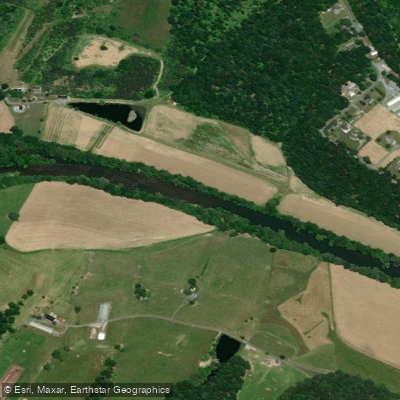
North Fork Shenandoah River
- Boat Ramps
- 6
- Access Points
- 10
- Campsites
- 7
The North Fork Shenandoah River is a picturesque waterway flowing through northeastern Virginia, offering paddlers a delightful blend of scenic beauty, mild whitewater, and abundant wildlife. This 116-mile long river drains 1,034 square miles of the Shenandoah Valley, winding its way northward from Rockingham County to Front Royal, where it joins the South Fork to form the main stem of the Shenandoah River.
Known for its clear waters and pleasant scenery, the North Fork provides excellent opportunities for canoeing, kayaking, and tubing. The river's difficulty generally ranges from Class I to II, making it suitable for paddlers of various skill levels, from beginners to intermediates. However, more experienced paddlers can find occasional challenges, especially during higher water levels.
One of the most popular sections for day trips is the Lower North Fork, an 11-mile stretch from Strasburg to Riverton/Front Royal. This segment offers paddlers a relatively easy and scenic journey, featuring mild rapids and beautiful vistas, including a postcard-worthy view of the north end of Massanutten Mountain and Signal Knob.
The best time to paddle the North Fork is typically from spring through early fall. However, paddlers should be aware that low water levels during late summer months can sometimes necessitate walking through shallow areas. Spring typically offers the most reliable water levels, while fall provides stunning foliage views.
Wildlife enthusiasts will appreciate the diverse ecosystem along the river. Bald eagles, herons, and various waterfowl are common sights, while the clear waters teem with smallmouth bass and other fish species, making it a popular destination for anglers as well.
Several access points make the North Fork easily navigable, with Strasburg Town Park serving as a convenient put-in location for many trips. Another notable access point is Deer Rapids, located 3 miles south of Strasburg off Route 644 (Funk Road), which features a gravel boat ramp for easy river entry or exit.
The North Fork played a significant role in the region's history, serving as a transportation route for early settlers and later becoming central to the area's agricultural development. Today, it continues to be an important recreational resource for locals and visitors alike.
Safety considerations include being aware of water levels, which can fluctuate seasonally, and watching for occasional strainers or submerged obstacles. As with any river, wearing a personal flotation device is essential. While multi-day trips are possible on the North Fork, they are less common than on the larger South Fork.
However, the river's proximity to the charming towns of the Shenandoah Valley, such as Strasburg and Front Royal, makes it easy to combine paddling adventures with exploration of the region's rich cultural heritage and scenic beauty. Whether you're seeking a relaxing float, a fishing expedition, or a mild whitewater adventure, the North Fork Shenandoah River offers a quintessential Virginia paddling experience, surrounded by the beauty of the Blue Ridge and Massanutten Mountains.
Water access, boat ramps & amenities
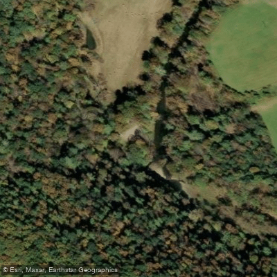
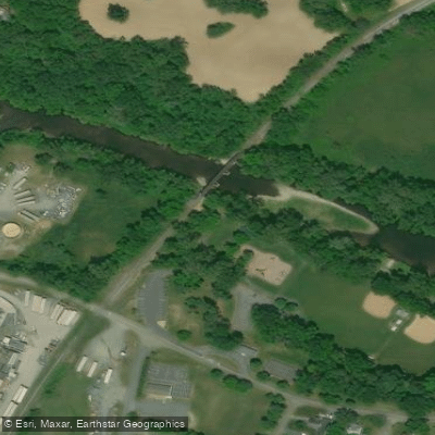
Learn how to get on North Fork Shenandoah River. Uncover great paddling access points, boat ramps, and all the facilities you need for an unforgettable day on the water. Some locations shown may border or include private property. Always check property boundaries and applicable regulations before visiting. PaddleWays's Public & Private Land layer can help you plan your access with confidence.
Paddle smarter with real-time insights
Whether you're en route and conditions shift or you're looking for the best spot based on current flows, we enable you to make informed decisions on the fly.








Find Places to Paddle

Over 400,000 Places to Paddle
Every user gets free access to launch points, boat ramps, and public property parcels.


Water and weather conditions (10 day forecast)
See the best times to paddle North Fork Shenandoah River and check the forecast before you go.
N F SHENANDOAH RIVER NEAR STRASBURG, VA
All Flow Stations
Paddling near North Fork Shenandoah River
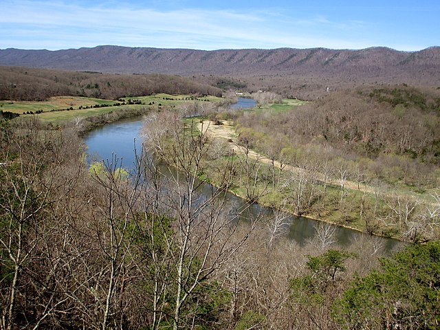
South Fork Shenandoah River

Rappahannock River
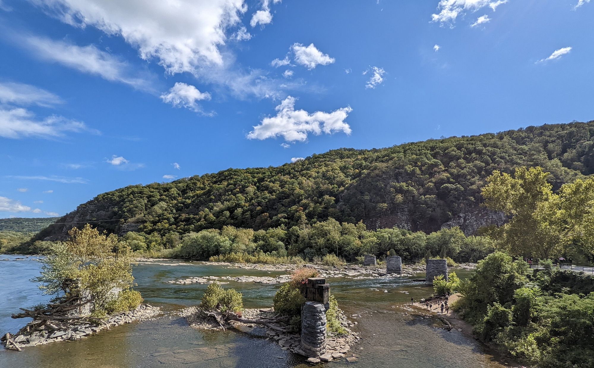
Shenandoah River
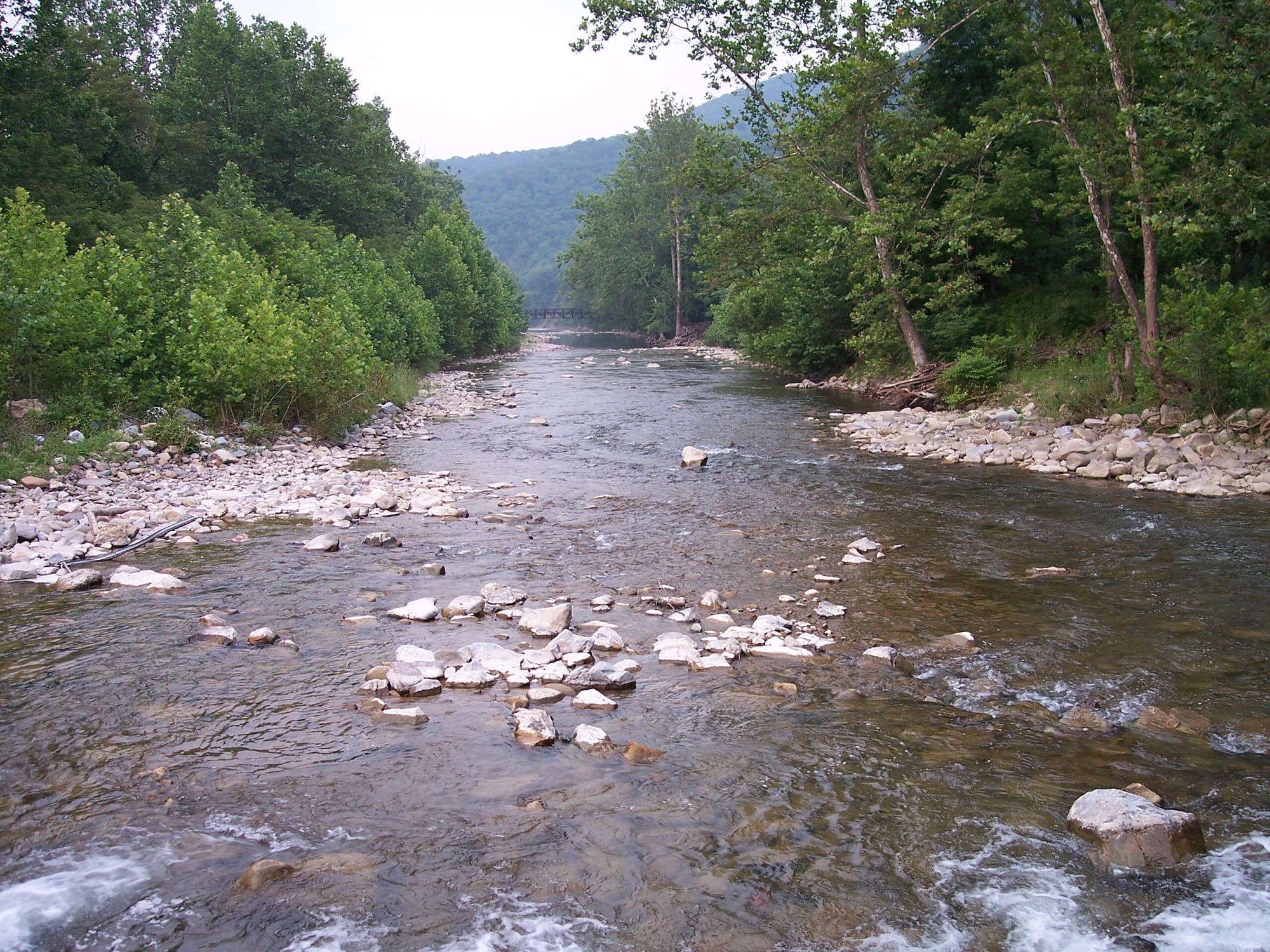
North Fork South Branch Potomac River
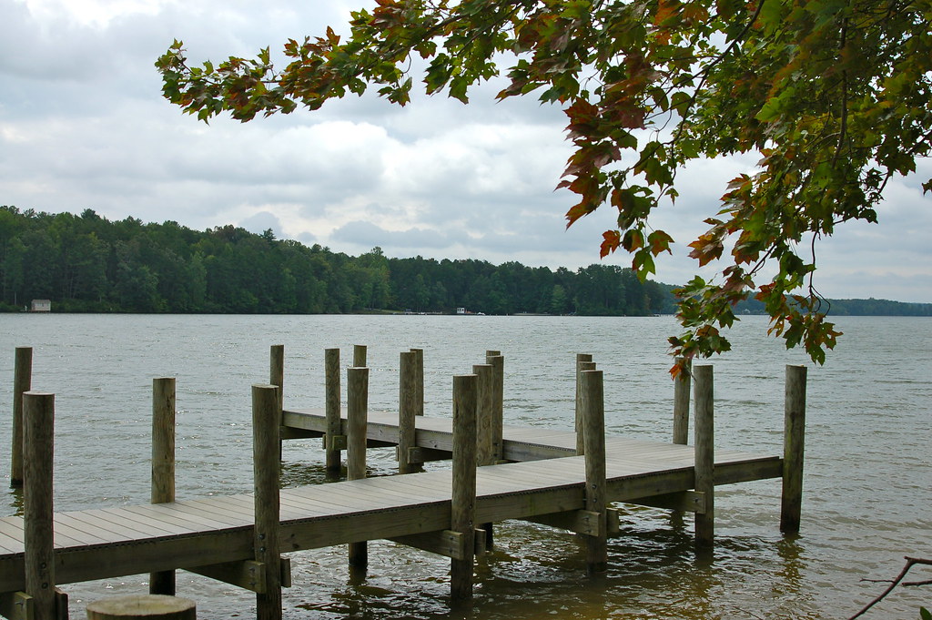
Lake Anna
Rapidan River
Robinson River
North River
Stony Creek
Explore Virginia waters
Top paddling waters
Popular Cities
Loading popular cities...
Explore near North Fork Shenandoah River
Access points
- Seven Bends State Park Boat Ramp
- Meems Bottom Boat Ramp
- Strasburg Landing Boat Ramp
- Chapmans Boat Ramp
- Seven Bends State Park Boat Ramp
- Catletts Ford Landing Boat Ramp
- Deer Rapids Boat Ramp
- Riverton Boat Ramp
- Blue Hole Day Use Area Access
- Timberville Access
- Strasburg Riverlot Campground
- North Fork Resort Associates Campground
- All 18 spots
Nearby waters
More in Virginia

Smarter Paddling Starts in the App.
Paddleways gives you everything you need to plan smarter, paddle better, and own every trip from first launch to takeout.