South Fork Shenandoah River
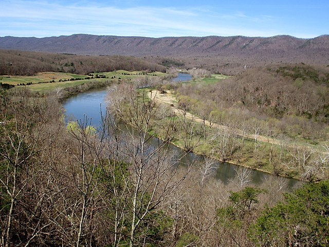
South Fork Shenandoah River
- Boat Ramps
- 16
- Access Points
- 18
- Campsites
- 11
The South Fork Shenandoah River is a scenic waterway that flows northward for 97 miles through the picturesque Shenandoah Valley of Virginia. Beginning at the confluence of the North and South Rivers near Port Republic, it meanders between the Blue Ridge Mountains to the east and Massanutten Mountain to the west before joining the North Fork at Front Royal to form the main stem of the Shenandoah River.
This river offers a variety of paddling experiences suitable for all skill levels, from calm flatwater sections to occasional Class I-II rapids. The majority of the river is characterized by gentle currents and riffles, making it an ideal destination for beginners and families. More experienced paddlers can find some excitement in the Bull Falls area near Harpers Ferry, where Class II-III rapids provide a thrilling finish to longer trips.
Popular paddling sections include the Waynesboro Water Trail, a scenic 4-mile stretch perfect for short outings; the 28-mile Luray to Bentonville section, offering multiple day trip options; and the increasingly popular 16-mile Bentonville to Front Royal stretch, known for its excellent fishing and proximity to Shenandoah River State Park.
The South Fork Shenandoah is a year-round paddling destination, but spring and fall offer the most comfortable temperatures and reliable water levels. Summer can be busy with recreational paddlers and tubers, especially on weekends. Winter paddling is possible but requires proper cold-water gear and experience.
The river corridor is home to diverse wildlife, including bald eagles, ospreys, herons, and various fish species like smallmouth bass. The surrounding landscape features a mix of farmland, forests, and occasional limestone cliffs, providing a constantly changing backdrop for paddlers.
Notable landmarks along the river include the town of Luray, famous for its caverns; the Shenandoah River State Park, offering camping and additional river access; and the historic town of Front Royal at the northern end of the paddling route. The river also passes near several Civil War battlefields, adding historical interest to the journey.
Access points are plentiful, with numerous public boat ramps and outfitters providing put-in and take-out services. Popular launch sites include Ridgeview Park in Waynesboro, Bentonville Landing, and various points near Luray and Front Royal.
Safety considerations include watching for occasional low-head dams, particularly the power dam above Island Ford, which requires portaging. Paddlers should also be aware of changing water levels and potential strainers, especially after heavy rains.
For those seeking a multi-day adventure, the entire 97-mile length of the South Fork can be paddled in 5-7 days, with numerous camping options along the way. A popular shorter multi-day trip is the 44-mile stretch from Luray to Front Royal, typically done in 2-3 days.
The South Fork Shenandoah River offers a perfect blend of scenic beauty, gentle paddling, and rich history, making it a premier destination for canoeists, kayakers, and anglers in the Mid-Atlantic region.
Water access, boat ramps & amenities
Learn how to get on South Fork Shenandoah River. Uncover great paddling access points, boat ramps, and all the facilities you need for an unforgettable day on the water. Some locations shown may border or include private property. Always check property boundaries and applicable regulations before visiting. PaddleWays's Public & Private Land layer can help you plan your access with confidence.
Paddle smarter with real-time insights
Whether you're en route and conditions shift or you're looking for the best spot based on current flows, we enable you to make informed decisions on the fly.








Find Places to Paddle

Over 400,000 Places to Paddle
Every user gets free access to launch points, boat ramps, and public property parcels.


Water and weather conditions (10 day forecast)
See the best times to paddle South Fork Shenandoah River and check the forecast before you go.
S F SHENANDOAH RIVER AT FRONT ROYAL, VA
All Flow Stations
Paddling near South Fork Shenandoah River

Rappahannock River
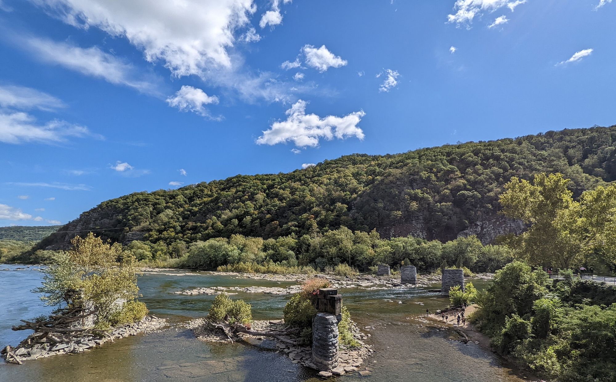
Shenandoah River
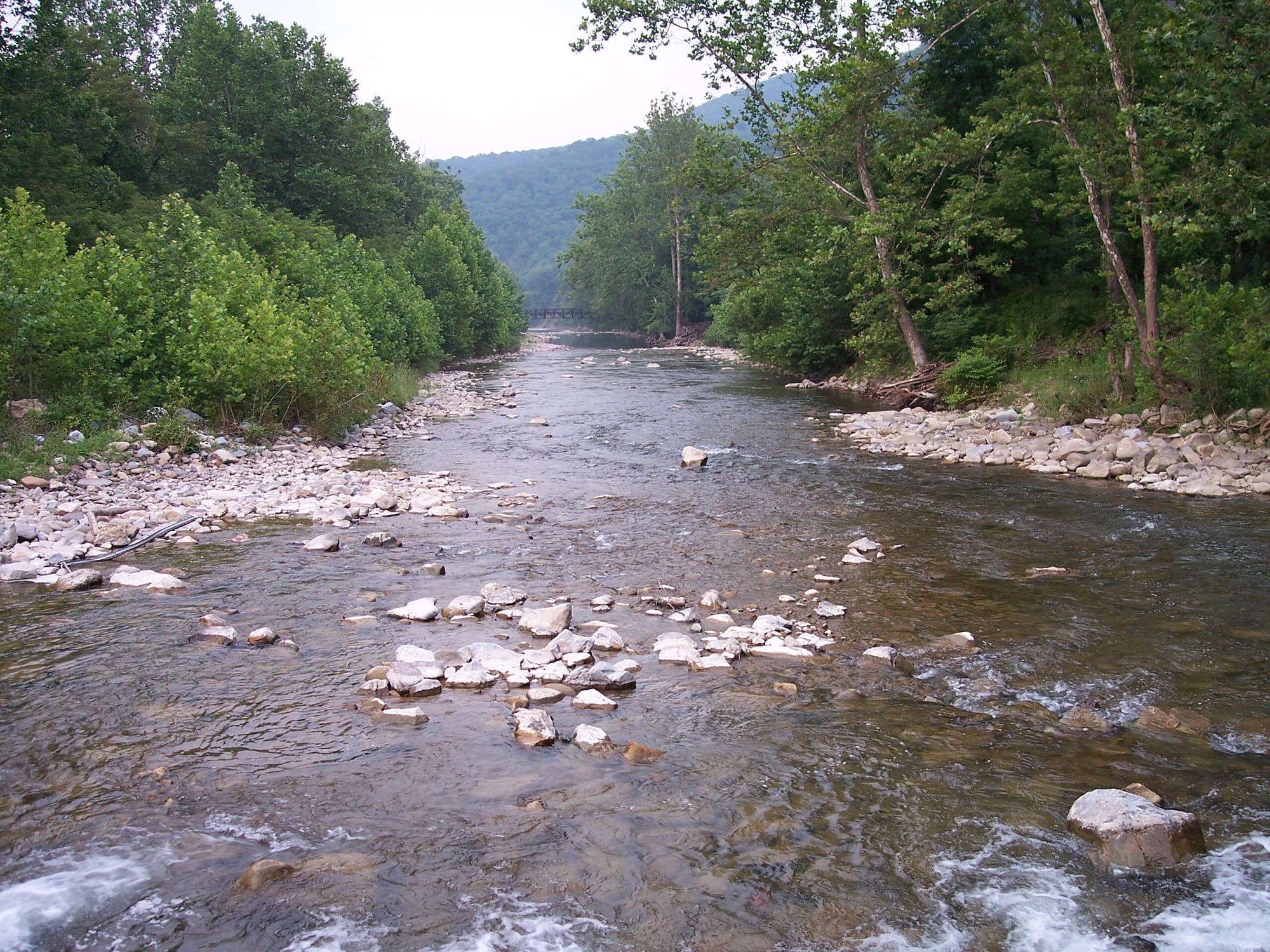
North Fork South Branch Potomac River
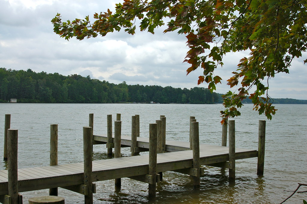
Lake Anna
North Fork Shenandoah River
Rapidan River
Robinson River
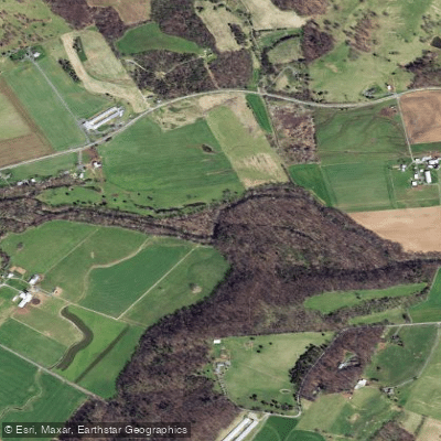
North River
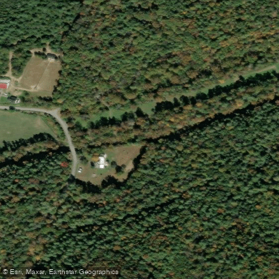
Stony Creek
Explore Virginia waters
Top paddling waters
Popular Cities
Loading popular cities...
Explore near South Fork Shenandoah River
Access points
Nearby waters
More in Virginia

Smarter Paddling Starts in the App.
Paddleways gives you everything you need to plan smarter, paddle better, and own every trip from first launch to takeout.