Manokin River
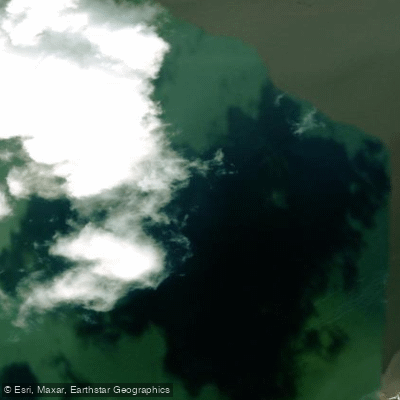
Manokin River
- Boat Ramps
- 1
- Access Points
- 2
- Campsites
- 0
The Manokin River is a 17-mile long Chesapeake Bay tributary located on Maryland's Eastern Shore. Originating near Princess Anne in Somerset County, the river flows southeast through rural landscapes before emptying into Tangier Sound. This gentle, free-flowing waterway cuts through farmlands and small towns, offering paddlers a peaceful journey through the scenic Lower Eastern Shore region.
The Manokin provides excellent flatwater paddling opportunities suitable for canoes and kayaks. A popular section runs from Raccoon Point in Westover to Princess Anne, allowing paddlers to experience the river's diverse ecosystems. The upper reaches near Princess Anne offer an urban paddling experience, with put-ins at Manokin River Park providing access to a 2-mile stretch between the Somerset Avenue and US Route 13 bridges.
With its calm waters, the Manokin is appropriate for paddlers of all skill levels. However, wind conditions on the lower river and Tangier Sound can create choppy waters requiring more experience. Spring and fall offer ideal paddling conditions, while summer provides opportunities for wildlife viewing and fishing.
The river and surrounding wetlands support a rich variety of flora and fauna. Paddlers may encounter great blue herons, ospreys, and even peregrine falcons nesting near the water. The watershed includes designated habitats for migratory birds and other wildlife, making it a prime location for nature observation.
Key landmarks include Raccoon Point, featuring a beach and picnic area, and the historic town of Princess Anne. The river passes through expansive salt marshes as it approaches Tangier Sound, offering stunning views of the Chesapeake Bay ecosystem.
Access points are available at Raccoon Point in Westover, Manokin River Park in Princess Anne, and various locations along the lower river. These put-ins allow for trips of varying lengths, from short urban paddles to full-day excursions.
Historically, the Manokin River played a crucial role in the region's agricultural and maritime economy. Today, it serves as an important recreational resource and ecological corridor. Paddlers should be aware of tidal influences on the lower river and check weather conditions before embarking. The Manokin offers excellent opportunities for day trips, with potential for longer journeys by combining paddles on connecting waterways in the Tangier Sound area.
Water access, boat ramps & amenities
Learn how to get on Manokin River. Uncover great paddling access points, boat ramps, and all the facilities you need for an unforgettable day on the water. Some locations shown may border or include private property. Always check property boundaries and applicable regulations before visiting. PaddleWays's Public & Private Land layer can help you plan your access with confidence.
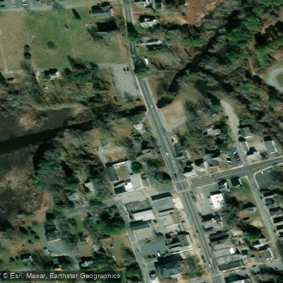
Paddle smarter with real-time insights
Whether you're en route and conditions shift or you're looking for the best spot based on current flows, we enable you to make informed decisions on the fly.








Find Places to Paddle

Over 400,000 Places to Paddle
Every user gets free access to launch points, boat ramps, and public property parcels.


Water and weather conditions (10 day forecast)
See the best times to paddle Manokin River and check the forecast before you go.
No forecast data available.
Paddling near Manokin River

Delaware River
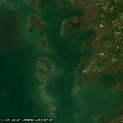
Tangier Sound

Potomac River

Patuxent River
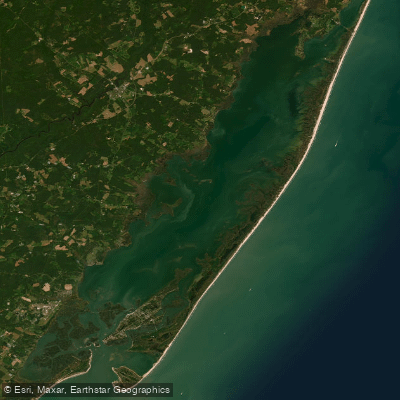
Chincoteague Bay
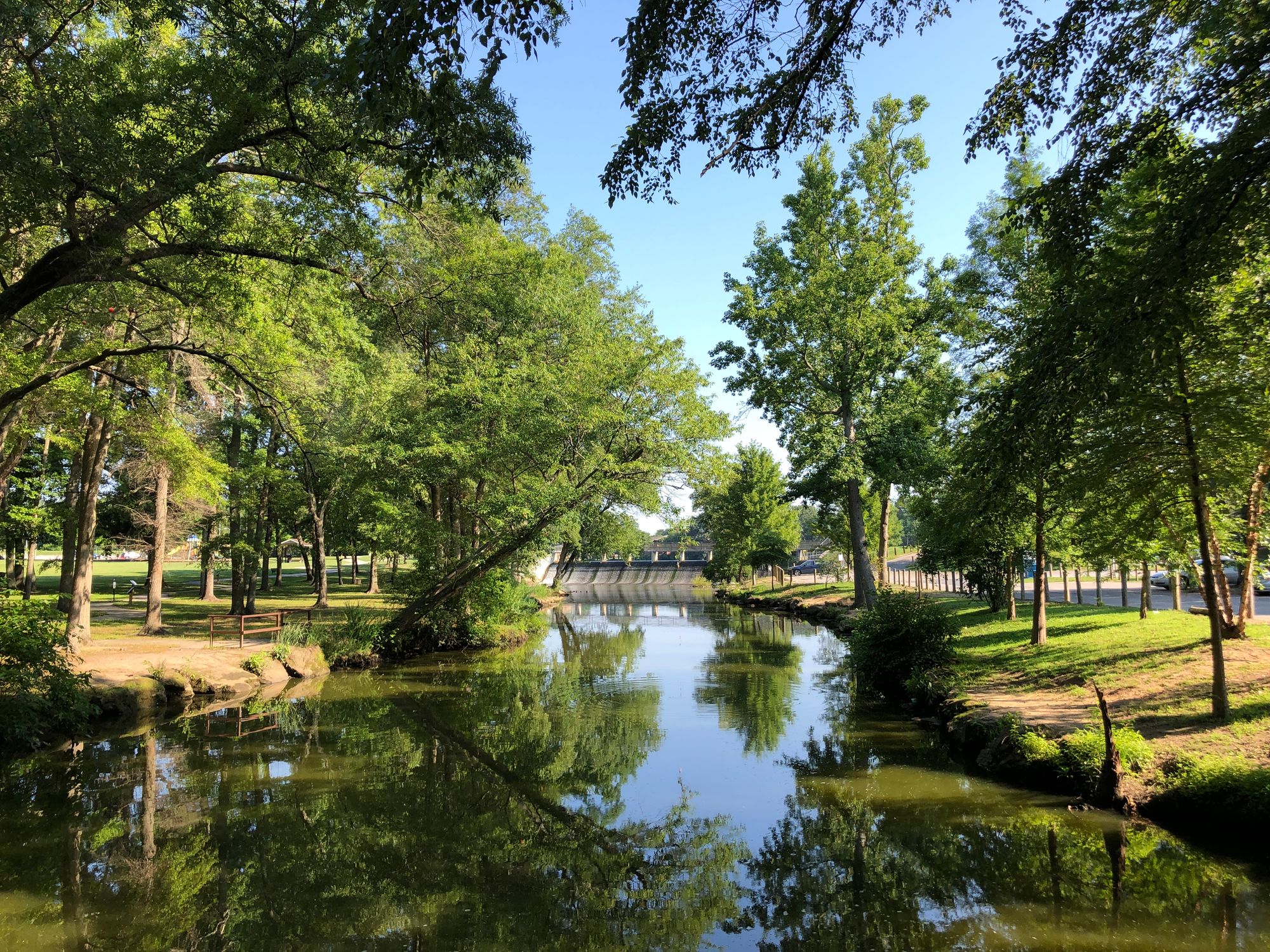
Saint Jones River
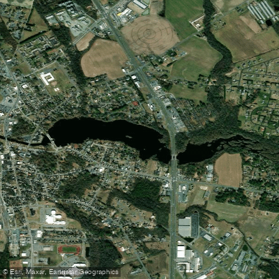
Records Pond
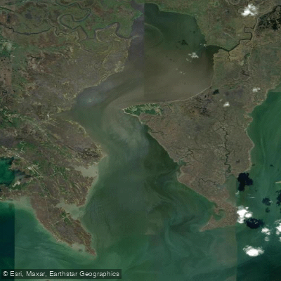
Fishing Bay
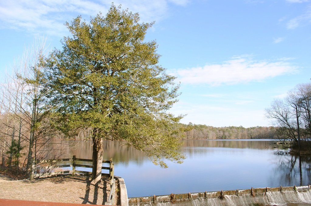
Trap Pond
Explore Maryland waters
Top paddling waters
Popular Cities
Loading popular cities...
Explore near Manokin River
Access points
Nearby waters
More in Maryland

Smarter Paddling Starts in the App.
Paddleways gives you everything you need to plan smarter, paddle better, and own every trip from first launch to takeout.