Chincoteague Inlet
- Saltwater
- Inlet
Chincoteague Inlet
- Saltwater
- Inlet
- Sq. miles
- 7.6
- Boat Ramps
- 0
- Access Points
- 0
- Campsites
- 0
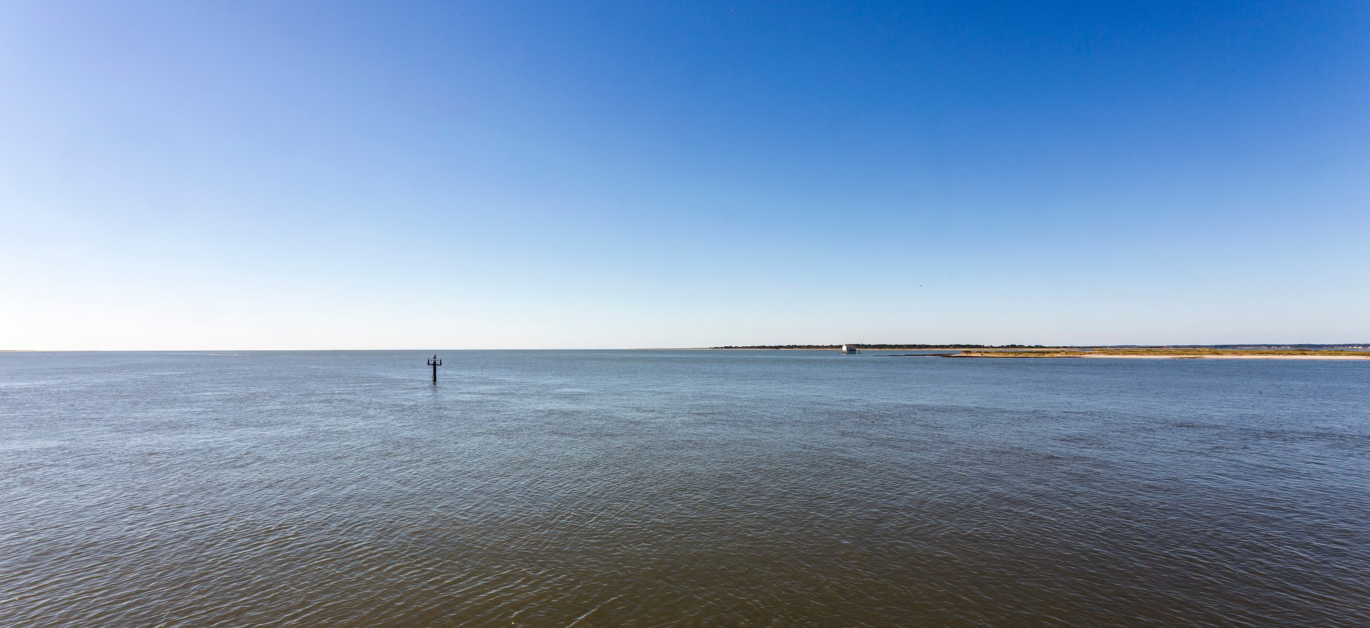
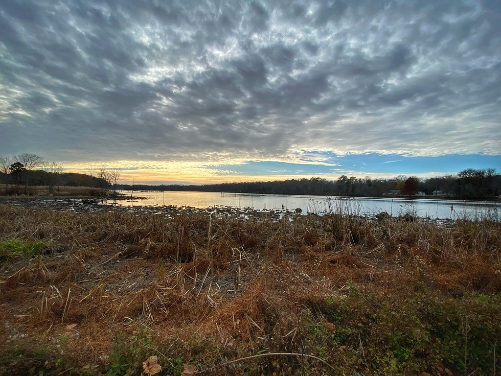
Chincoteague Inlet is a dynamic coastal inlet located between Wallops Island and Assateague Island, connecting the Atlantic Ocean to the southern end of Chincoteague Bay. This is a saltwater environment characterized by open water challenges including surf, rough water, and strong tidal currents, making it a destination suited for intermediate to advanced paddlers. The inlet's conditions can become severe, as evidenced by a past incident where a sailboat was grounded and pounded by waves in shallow water during a storm, highlighting the importance of checking marine forecasts and having proper safety equipment. A primary public access point for paddlers is the Curtis Merritt Harbor boat ramp in Chincoteague, Virginia, which is a concrete ramp managed by the town offering ample parking and trailer turnaround space. Paddlers should be aware that certain areas, like the Horsehead Marsh, are designated for non-motorized, hand-carried boats only, where launching and beaching are permitted. The surrounding area is largely undeveloped and protected, consisting of the Chincoteague National Wildlife Refuge and Assateague Island National Seashore, which preserve natural beaches and marshes. Wildlife is a key feature, with dolphins frequently observed in the inlet and the southern part of Assateague Island. A notable paddling route involves launching from the south side of Chincoteague Island, heading south and east toward Tom's Cove and along the backside of Assateague Island's beach, which can make for a roughly 10-mile trip. Paddlers should plan trips carefully with tide charts, as currents can be strong, especially near a full moon, and timing is crucial for longer journeys like a circumnavigation of Chincoteague Island. The inlet is also used for training events where paddlers practice skills in surf and current, indicating its reputation for providing more challenging conditions.
Water access, boat ramps & amenities
Learn how to get on Chincoteague Inlet. Uncover great paddling access points, boat ramps, and all the facilities you need for an unforgettable day on the water. Some locations shown may border or include private property. Always check property boundaries and applicable regulations before visiting. PaddleWays's Public & Private Land layer can help you plan your access with confidence.
Paddle smarter with real-time insights
Whether you're en route and conditions shift or you're looking for the best spot based on current flows, we enable you to make informed decisions on the fly.








Find Places to Paddle

Over 400,000 Places to Paddle
Every user gets free access to launch points, boat ramps, and public property parcels.


Tides, wind & water conditions (10 day forecast)
On open water, wind and tide matter as much as the weather. See the best times to paddle Chincoteague Inlet and check the marine forecast before you launch.
Loading tide predictions…
Paddling near Chincoteague Inlet

Potomac River
Chincoteague Bay
Manokin River
Pocomoke River
Transquaking River
Wicomico River
Pocomoke Sound
Nanticoke River
Explore Virginia waters
Top paddling waters
Popular Cities
Loading popular cities...
Explore near Chincoteague Inlet

Smarter Paddling Starts in the App.
Paddleways gives you everything you need to plan smarter, paddle better, and own every trip from first launch to takeout.