Wicomico River
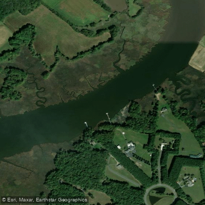
Wicomico River
- Boat Ramps
- 1
- Access Points
- 1
- Campsites
- 1
The Wicomico River flows approximately 33 miles through Maryland's Lower Eastern Shore, originating near the Delaware state line in northern Wicomico County and flowing generally southwest through Salisbury before emptying into Monie Bay on the eastern edge of the Chesapeake Bay, roughly 15 miles southwest of Salisbury. The lower 20 miles form a tidal estuary, creating a gentle, free-flowing waterway that transitions from freshwater ponds and narrow creeks in its upper reaches to a broad tidal river near its mouth in Somerset County.
The river system encompasses several distinct paddling environments. The upper watershed includes Leonard Mill Pond, Johnson Pond, and Schumaker Pond—calm, sheltered waters ideal for beginners. The middle section flows through Salisbury, passing the Riverside Boat Ramp and offering urban paddling access. Downstream, tributaries like Wicomico Creek and Shiles Creek provide intermediate challenges with marsh exploration opportunities. The lower river widens considerably as it approaches Monie Bay, where paddlers encounter expansive salt marshes and open water conditions requiring more advanced skills.
Paddling difficulty ranges from beginner-friendly pond circuits to advanced open-water crossings. Upper sections feature narrow, protected waterways with minimal current, while lower reaches demand navigation skills and awareness of wind, tides, and weather conditions. The Wicomico's tidal nature means timing trips with favorable currents significantly affects paddling effort.
Spring through fall offers optimal paddling, with May through October providing the most comfortable conditions. Summer brings lush vegetation but also insects, particularly in marsh areas. Fall paddling rewards visitors with migrating waterfowl and reduced crowds. Winter paddling is possible but requires cold-water safety precautions.
The river corridor supports diverse wildlife including bald eagles, osprey, great blue herons, diamondback terrapins, and river otters. The lower marshes host clapper rails, marsh wrens, and numerous waterfowl species. Bald cypress trees line portions of the upper watershed, while cordgrass dominates the tidal marshes downstream.
Public access points include Riverside Boat Ramp in Salisbury, Schumaker Pond near the city, and Webster's Cove near Mount Vernon in Somerset County. The Whitehaven Ferry, one of the nation's oldest continuously operating ferries, crosses the river between Wicomico and Somerset counties, serving as both transportation and historic landmark.
The river's name derives from Native American origins, and the watershed has supported human settlement for millennia. Salisbury developed as a commercial hub due to the river's navigability, with barge traffic historically making it a primary shipping point for the Delmarva Peninsula.
Paddlers should monitor weather conditions carefully, particularly on lower sections where wind can create challenging waves. Tidal currents require attention, and water quality varies throughout the watershed. Maryland fishing licenses are required for angling, and all boaters must follow state regulations regarding life jackets and safety equipment.
Water access, boat ramps & amenities
Learn how to get on Wicomico River. Uncover great paddling access points, boat ramps, and all the facilities you need for an unforgettable day on the water. Some locations shown may border or include private property. Always check property boundaries and applicable regulations before visiting. PaddleWays's Public & Private Land layer can help you plan your access with confidence.
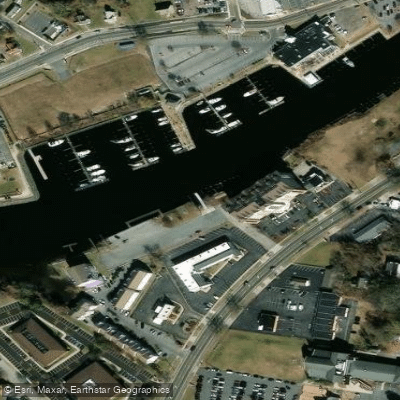
Paddle smarter with real-time insights
Whether you're en route and conditions shift or you're looking for the best spot based on current flows, we enable you to make informed decisions on the fly.








Find Places to Paddle

Over 400,000 Places to Paddle
Every user gets free access to launch points, boat ramps, and public property parcels.


Water and weather conditions (10 day forecast)
See the best times to paddle Wicomico River and check the forecast before you go.
No forecast data available.
Paddling near Wicomico River

Delaware River
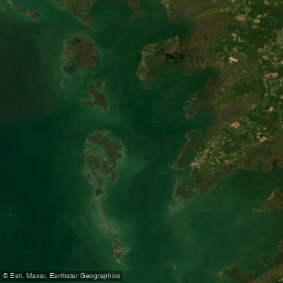
Tangier Sound

Potomac River

Patuxent River
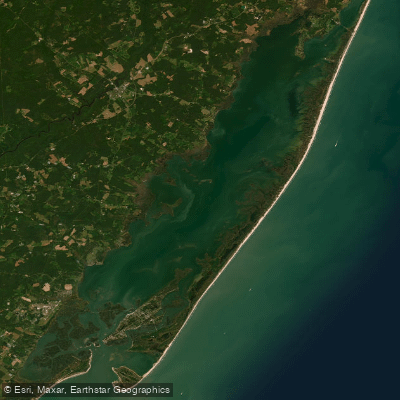
Chincoteague Bay
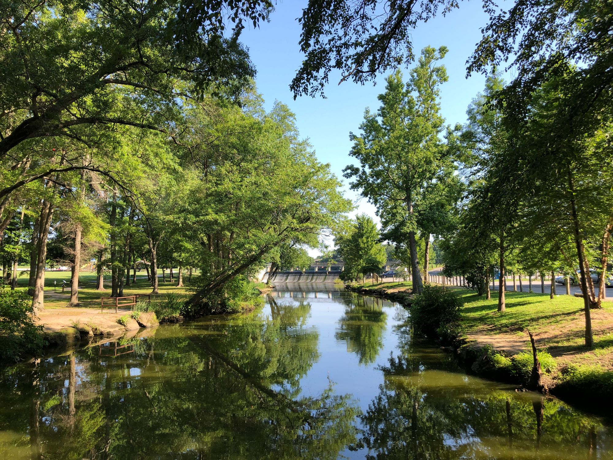
Saint Jones River
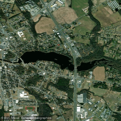
Records Pond
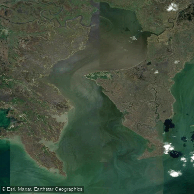
Fishing Bay
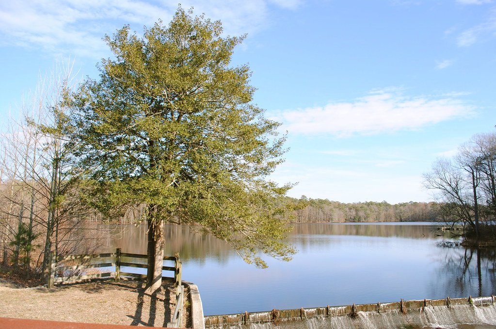
Trap Pond
Explore Maryland waters
Top paddling waters
Popular Cities
Loading popular cities...
Explore near Wicomico River
Access points
Nearby waters
More in Maryland

Smarter Paddling Starts in the App.
Paddleways gives you everything you need to plan smarter, paddle better, and own every trip from first launch to takeout.