Curated by PaddleWays
RouteClass III
- Distance
- 5.2 mi
- Paddle time
- ~1.5 hrs
- Best for
- Intermediate paddlers, experienced paddlers
- Put-in → take-out
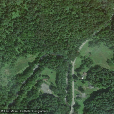
- Bond Road Access → MD 23 Access
Right-to-Left Falls and sieves on creek
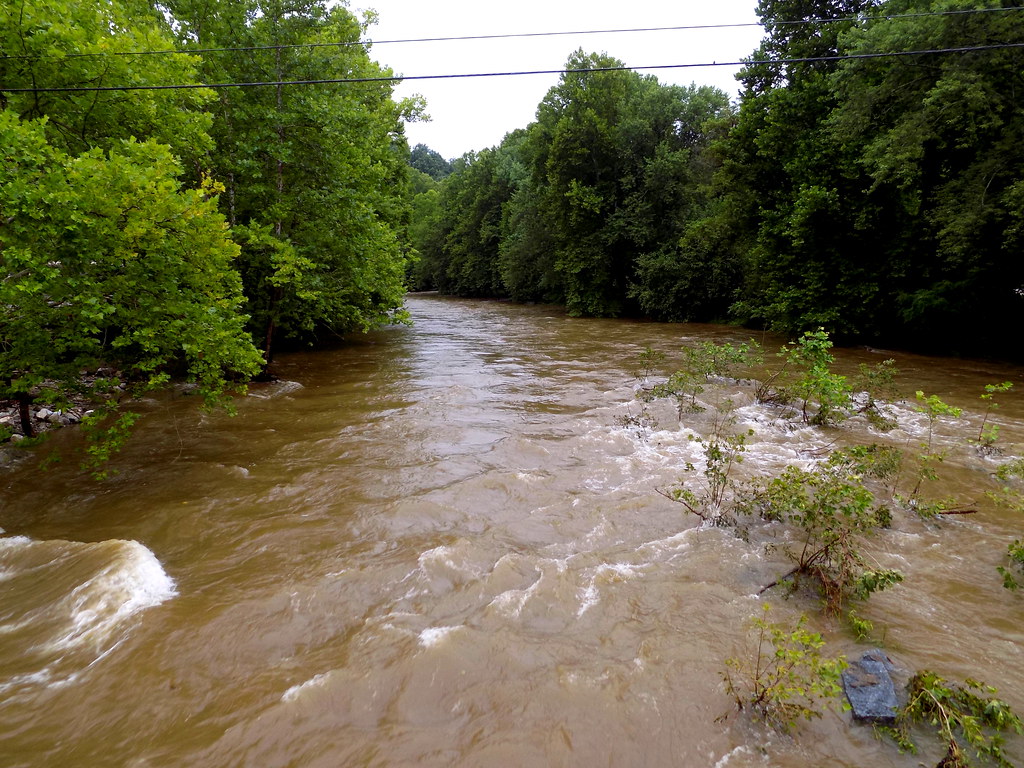
Deer Creek originates in York County, Pennsylvania, near Shrewsbury, and flows approximately 53 miles southeastward through the Piedmont physiographic province before emptying into the Susquehanna River in Harford County, Maryland. The watershed encompasses 171 square miles across York County in Pennsylvania and Baltimore, Cecil, and Harford Counties in Maryland, with Harford County containing roughly 80 percent of the total watershed area. The creek maintains a predominantly rural character, flowing through agricultural lands (approximately 60% of the watershed) and forested areas (about 34%).
Designated as a Maryland State Scenic River in 1973, Deer Creek supports exceptional biodiversity, ranking third in Maryland for aquatic species diversity. The watershed hosts sensitive species including the endangered Maryland darter, bog turtle, brook trout, bald eagles, and various anadromous fish species. Since the installation of a Denil fish ladder at Wilson Mill Dam in 2000, hickory shad, white perch, yellow perch, alewife, and blueback herring have regained access to approximately 25 miles of historic spawning habitat.
Paddling opportunities center primarily in Harford County, where the creek offers Class I-III whitewater sections suitable for intermediate paddlers, particularly the 43.5-mile stretch from Bond Road to the Susquehanna River. The county has developed a Deer Creek Water Trail with public launches at Walters Mill Road in Forest Hill (19 miles from the mouth) and Benjamin's Bridge near Street (13 miles from the mouth). A popular six-mile paddle connects these two access points. The creek typically provides sufficient water levels for paddling from March through July and again from September through November, though summer flows often become too low for navigation.
Three state parks provide significant access: Rocks State Park in northern Harford County features Kilgore Falls (Maryland's second-highest vertical drop waterfall at 17 feet), Susquehanna State Park near the mouth offers extensive trail systems and historic sites including the Rock Run Gristmill, and Palmer State Park provides additional recreational access. The creek flows through Eden Mill Nature Center, where paddlers can launch near a historic grist mill and enjoy flatwater conditions ideal for beginners.
The watershed's geology consists primarily of Piedmont crystalline rocks mantled with saprolite, creating a groundwater-dominated system where base flow constitutes approximately 67 percent of total streamflow. Upper sections designated as Use III-P support natural trout waters, while lower sections (Use IV-P) accommodate recreational trout fishing. The creek serves as a public water supply source for Aberdeen Proving Ground, withdrawing water near Darlington.
Conservation efforts include the Lower Deer Creek Valley Rural Legacy Area, established in 1999, which has protected over 27,000 acres through agricultural easements. The watershed faces development pressures, particularly in areas near Bel Air and along transportation corridors, though less than one percent lies within Harford County's designated development envelope.
Curated routes
Hand-picked by the PaddleWays team, with put-ins, take-outs, paddle times and the hazards along the way.
RouteClass III
RouteClass I–II
Hazards
No paddler has reported a hazard here yet, so these are the dams, falls and big rapids on our map. Hazards change with flows and storms, so check them before you launch.
From the community
Nobody has shared a trip on Deer Creek yet. Paddle it, then tell the next paddler how it went.
See exactly where the public can get on and off the river. Launch points and boat ramps are paired with PaddleWays' public land data so you know where you can legally land.
Public shoreline
1%of the river's shoreline is public
Most of the riverbank is private. Launch, land and camp only at public access points.
Flows, weather and a route-by-route verdict, so you know which stretch of the Deer Creek is worth paddling today.
All Flow Stations
Live flows, marked hazards and fresh trip reports from paddlers who were just on the water, all in one place.





Every user gets free access to launch points, boat ramps, and public property parcels.


Loading popular cities...
PaddleWays gives you everything you need to plan smarter, paddle better, and own every trip from first launch to takeout.