Eastern Bay
- Saltwater
- Bay
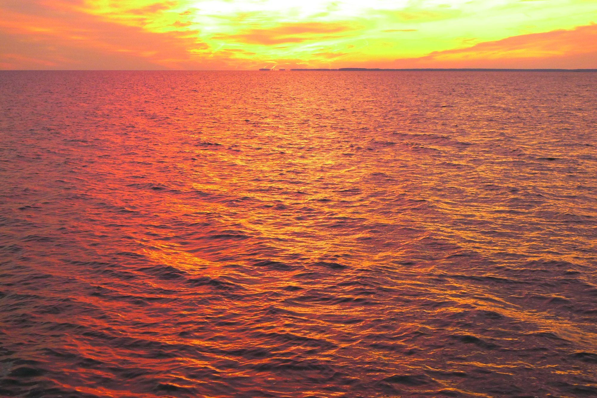
Eastern Bay
- Saltwater
- Bay
- Sq. miles
- 34
- Boat Ramps
- 3
- Access Points
- 1
- Campsites
- 0
Eastern Bay is a significant, open-water bay off the main Chesapeake Bay in Maryland, bordered by Kent Island to the north and the mainland to the south and west. It is a tidal saltwater feature with a reputation for becoming rough and choppy when winds pick up, as it offers a long fetch for waves to build. Paddlers should be prepared for open water conditions and plan trips carefully around wind forecasts. The bay provides access to several sheltered creeks and rivers, including the Wye East River, Miles River, and Warehouse Creek, which offer protected paddling and anchorages away from the main bay's exposure.
Several public launch points provide access to Eastern Bay and its tributaries. On the western shore, Bayshore Road offers a beginner-friendly bank access with sheltered, tidal conditions, though parking is limited to two spaces and a fee is required. The Matapeake State Park boat ramp on Kent Island provides a well-equipped launch with a large parking lot, restrooms, and a pier for a fee, suitable for accessing the more exposed waters of the bay. For access to the quieter northern reaches and the Chester River, a carry-in launch exists under the Route 50 bridge at Kent Narrows, though paddlers are warned of significant currents in the narrows themselves. Other county ramps on Kent Island, such as those on Goodhands Creek, Thompson Creek, and Crab Alley, require permits and provide entry to a network of marshes and creeks on the Eastern Bay side.
Tidal currents are a primary consideration, especially around the constricted Kent Narrows, where currents can be strong and hazardous to paddle against. Paddlers should consult tide charts and plan crossings or narrow passages accordingly. The bay experiences moderate to heavy powerboat and sailing traffic, particularly near the mouths of rivers and popular destinations like St. Michaels. Wildlife includes opportunities to see dolphins, notably near Kent Narrows. The best paddling seasons are generally from spring through fall, with mornings often providing the lightest winds for stand-up paddleboarding. Water trails and maps are available for the area, outlining routes ranging from short protected loops to longer cruises exploring the many secluded coves and historic waterfront estates.
Water access, boat ramps & amenities
Learn how to get on Eastern Bay. Uncover great paddling access points, boat ramps, and all the facilities you need for an unforgettable day on the water. Some locations shown may border or include private property. Always check property boundaries and applicable regulations before visiting. PaddleWays's Public & Private Land layer can help you plan your access with confidence.
Paddle smarter with real-time insights
Whether you're en route and conditions shift or you're looking for the best spot based on current flows, we enable you to make informed decisions on the fly.








Find Places to Paddle

Over 400,000 Places to Paddle
Every user gets free access to launch points, boat ramps, and public property parcels.


Tides, wind & water conditions (10 day forecast)
On open water, wind and tide matter as much as the weather. See the best times to paddle Eastern Bay and check the marine forecast before you launch.
Loading tide predictions…
Paddling near Eastern Bay

Patuxent River
South River
Patapsco River
Triadelphia Reservoir

Potomac River

Susquehanna River
Magothy River

Little Patuxent River
Explore Maryland waters
Top paddling waters
Popular Cities
Loading popular cities...
Explore near Eastern Bay
Access points
- Fort Frederick State Park Boat Ramp
- St. Inigoes Boat Ramp
- Solomons Boat Ramp
- Shipping Creek Landing Access
- Birch Dam Creek Bridge
- Cox Creek Bridge
- Wye Narrows Bridge
- Br Of Wye River Bridge
- Claiborne Landing Parking
- Shipping Creek Landing Parking
- Tilghman Creek Landing Parking
- Bennetts Point Landing Parking
- All 24 spots
Nearby waters
More in Maryland

Smarter Paddling Starts in the App.
Paddleways gives you everything you need to plan smarter, paddle better, and own every trip from first launch to takeout.