South River
- Saltwater
- Tidal river
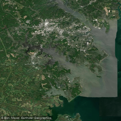
South River
- Saltwater
- Tidal river
- Sq. miles
- 7.7
- Boat Ramps
- 2
- Access Points
- 0
- Campsites
- 0
The South River in Georgia features a designated 40-mile South River Water Trail, providing navigable water from Panola Shoals downstream to Jackson Lake. Public access is a primary focus, with numerous trailheads offering boat ramps and parking; however, some planned or in-development access points may not yet be complete. A detailed list of access points is available, ordered from upriver to downriver, with specific river mile markers and coordinates. Key put-ins and take-outs include locations at Moreland Avenue, Bouldercrest Road, Panthersville Road, and Miners Park at Snapfinger Road, down to GA 36 near the reservoir confluence. Paddlers can use the Georgia River Guide mobile app for detailed water trail attributes and navigation.
The river's character is defined by its urban to rural transition within the Atlanta metropolitan watershed. A significant advocacy and monitoring effort encourages paddlers to check in during visits, as this data supports the river's official "Recreation" water quality designation, which applies higher environmental standards for protection. While not directly in the water, an extensive network of adjacent land trails, like the South River Trail and Southtowne Trail, offers connections through parks and natural areas such as Intrenchment Creek Park, the Arabia Mountain National Heritage Area, and Panola Mountain State Park.
The paddling experience varies along the course, with sections suitable for different skill levels. Hazards typical of urban rivers may be present, such as strainers or debris, and paddlers should verify current conditions at specific access points. Facilities at trailheads generally include parking and boat ramps, but amenities may vary. The ongoing development of the water trail indicates a dynamic resource where paddlers should confirm access status before planning a trip.
Water access, boat ramps & amenities
Learn how to get on South River. Uncover great paddling access points, boat ramps, and all the facilities you need for an unforgettable day on the water. Some locations shown may border or include private property. Always check property boundaries and applicable regulations before visiting. PaddleWays's Public & Private Land layer can help you plan your access with confidence.
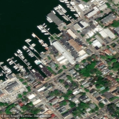
Paddle smarter with real-time insights
Whether you're en route and conditions shift or you're looking for the best spot based on current flows, we enable you to make informed decisions on the fly.








Find Places to Paddle

Over 400,000 Places to Paddle
Every user gets free access to launch points, boat ramps, and public property parcels.


Tides, wind & water conditions (10 day forecast)
On open water, wind and tide matter as much as the weather. See the best times to paddle South River and check the marine forecast before you launch.
Loading tide predictions…
Paddling near South River

Patuxent River
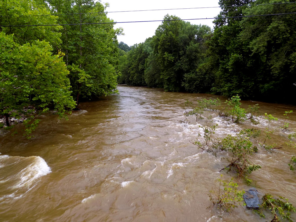
Patapsco River
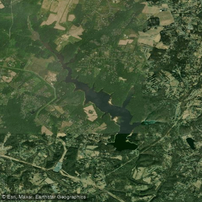
Triadelphia Reservoir

Eastern Bay

Potomac River

Susquehanna River
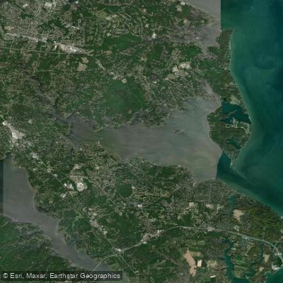
Magothy River
Little Patuxent River
Explore Maryland waters
Top paddling waters
Popular Cities
Loading popular cities...
Explore near South River
Access points
Nearby waters
More in Maryland

Smarter Paddling Starts in the App.
Paddleways gives you everything you need to plan smarter, paddle better, and own every trip from first launch to takeout.