Little Patuxent River

Little Patuxent River
- Boat Ramps
- 1
- Access Points
- 4
- Campsites
- 3
The Little Patuxent River, a scenic waterway flowing through Howard County, Maryland, offers paddlers a diverse and exciting experience. This river begins near Alpha Ridge and winds its way through the heart of the county, joining the Middle Patuxent River near Savage before eventually merging with the main Patuxent River.
Paddlers can enjoy several distinct sections of the Little Patuxent, each offering its own unique challenges and scenery. The most popular stretch runs from US Route 29 to US Route 1, covering approximately 7 miles of varied terrain. This section features a mix of Class I to IV rapids, providing an excellent opportunity for both novice and experienced paddlers to test their skills.
For those seeking a longer adventure, the 15.3-mile stretch from Carroll Mill Road to Savage Mill offers a more extended journey through Howard County's picturesque landscape. This section primarily consists of Class I and II rapids, with occasional Class IV challenges during higher water levels, making it ideal for intermediate paddlers looking to improve their skills.
The river's difficulty ranges from easy flatwater sections to challenging whitewater, particularly near Savage Mill where paddlers encounter "Savage Falls," a series of three riverwide ledges classified as Class III+ to IV. This variety makes the Little Patuxent an excellent training ground for paddlers of all skill levels.
Spring and early summer typically offer the best paddling conditions, with higher water levels providing more exciting runs. However, the river can be enjoyed year-round, with autumn offering stunning foliage views and winter providing a serene, if chilly, experience for well-prepared paddlers.
The Little Patuxent's ecosystem supports a diverse array of flora and fauna. Paddlers may spot bald eagles soaring overhead, while the riverbanks are lined with native trees and plants typical of Maryland's Piedmont region.
Notable landmarks along the river include the historic Savage Mill, a former cotton mill now repurposed as a shopping and dining destination. The nearby Savage Mill Trail offers beautiful views of the river and serves as an excellent put-in or take-out point for paddlers.
Access to the river is available at several points, including US Route 29, Carroll Mill Road, Old Columbia Road, and Savage Mill. The towns of Columbia and Savage provide convenient nearby amenities for paddlers.
Historically, the Little Patuxent played a crucial role in the region's industrial development, powering mills and supporting local communities. Today, it serves as an important recreational resource and a vital part of the Chesapeake Bay watershed.
Safety is paramount when paddling the Little Patuxent. Paddlers should always check water levels before embarking, wear appropriate safety gear, and be prepared for sudden changes in water conditions, particularly in the more challenging sections near Savage Mill.
While multi-day trips are less common on the Little Patuxent due to its relatively short length, ambitious paddlers can combine it with sections of the Middle Patuxent and main Patuxent River for extended journeys, potentially camping at designated sites along the Patuxent Water Trail.
The Little Patuxent River offers a perfect blend of natural beauty, historical significance, and paddling excitement, making it a cherished destination for Maryland's outdoor enthusiasts and a hidden gem in the state's river system.
Water access, boat ramps & amenities
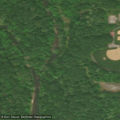
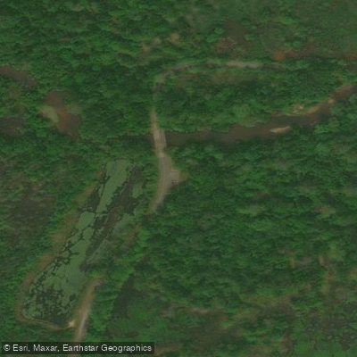
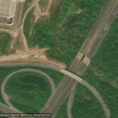
Learn how to get on Little Patuxent River. Uncover great paddling access points, boat ramps, and all the facilities you need for an unforgettable day on the water. Some locations shown may border or include private property. Always check property boundaries and applicable regulations before visiting. PaddleWays's Public & Private Land layer can help you plan your access with confidence.
Paddle smarter with real-time insights
Whether you're en route and conditions shift or you're looking for the best spot based on current flows, we enable you to make informed decisions on the fly.








Find Places to Paddle

Over 400,000 Places to Paddle
Every user gets free access to launch points, boat ramps, and public property parcels.


Water and weather conditions (10 day forecast)
See the best times to paddle Little Patuxent River and check the forecast before you go.
LITTLE PATUXENT RIVER AT SAVAGE, MD
All Flow Stations
Paddling near Little Patuxent River
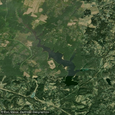
Triadelphia Reservoir
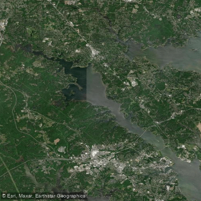
Severn River

Patuxent River

Potomac River
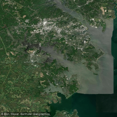
South River
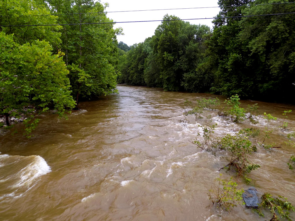
Patapsco River
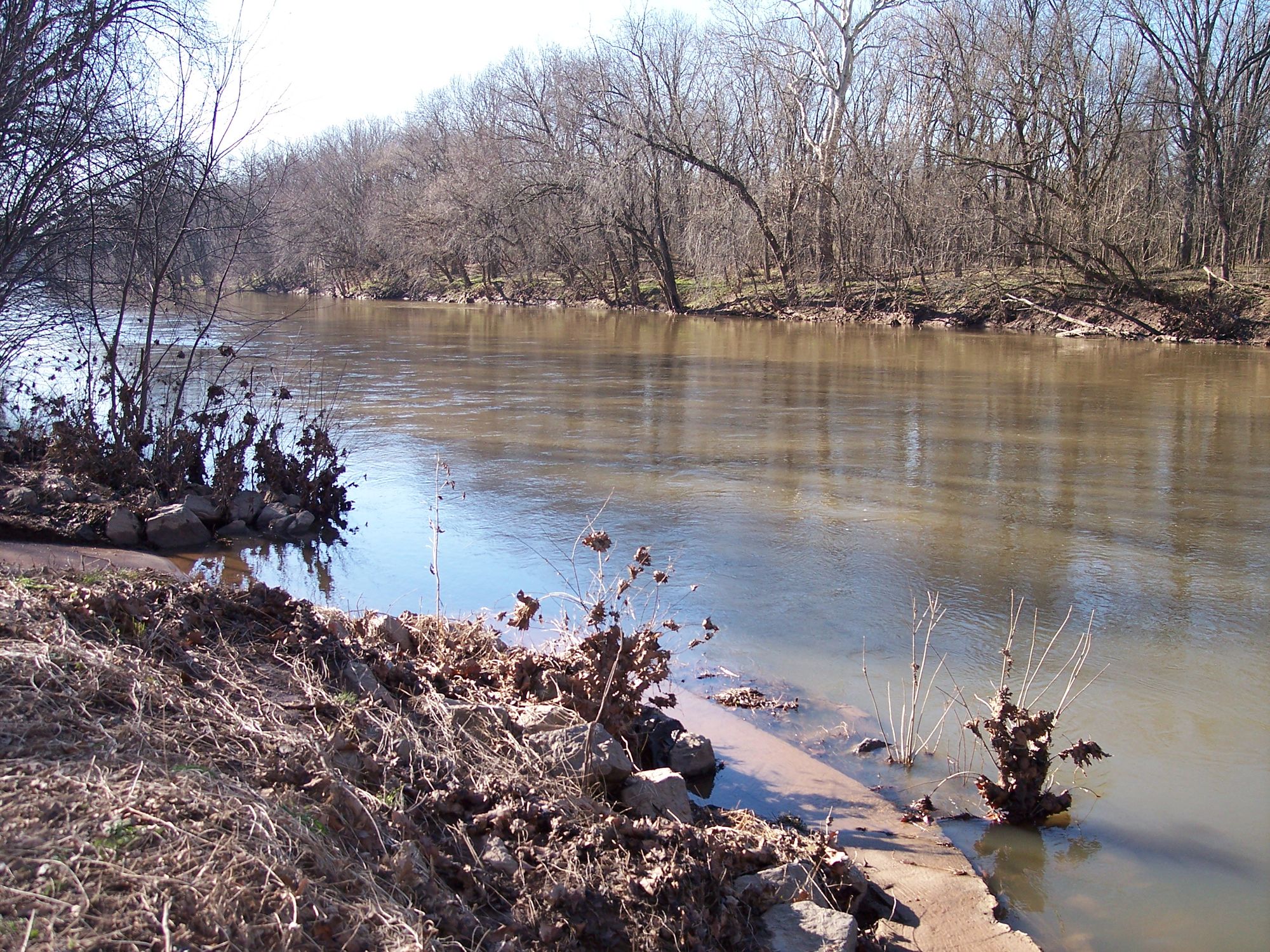
Monocacy River
Magothy River
Lake Marburg
Explore Maryland waters
Top paddling waters
Popular Cities
Loading popular cities...
Explore near Little Patuxent River
Access points
- Whites Ferry Boat Ramp
- Access
- Wildlife Loop Access
- Route 29 Access
- Little Patuxent River Bridge
- Little Patuxent River Bridge
- Little Patuxent River Bridge
- Little Patuxent River Bridge
- Little Patuxent River Bridge
- Little Patuxent River Bridge
- Little Patuxent River Bridge
- Little Patuxent River Bridge
- All 124 spots
Nearby waters
More in Maryland

Smarter Paddling Starts in the App.
Paddleways gives you everything you need to plan smarter, paddle better, and own every trip from first launch to takeout.