Gunpowder Falls
- Saltwater
- Sea area
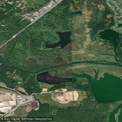
Gunpowder Falls
- Saltwater
- Sea area
- Sq. miles
- 0.1
- Boat Ramps
- 0
- Access Points
- 1
- Campsites
- 1
Gunpowder Falls in Maryland, USA, is a complex water system offering distinct paddling environments. The upper sections are freshwater rivers, while the lower sections transition into tidal saltwater creeks and basins that feed into the Chesapeake Bay. For paddlers seeking moving water, the Gunpowder Gorge reach below Prettyboy Reservoir is a Class I-III whitewater run approximately 2.1 miles long, with an average gradient of 18 feet per mile. Access involves a hike of about half a mile from a small parking area on Falls Road, with the take-out at the Falls Road bridge. The Lower Gunpowder, a Class II-III section, traditionally put in at the US1/Belair Road Bridge and now requires a 7.5-mile paddle to the take-out at Mariner Point Park due to the permanent closure of the Jones Road access. These river sections are dependent on rainfall and reservoir releases, with strainers and fishermen noted as common hazards requiring caution and respect.
For flatwater and tidal exploration, the saltwater Gunpowder Basin and its tributaries, like Little Gunpowder Falls, offer a different experience. A key launch point for this area is Mariner Point Park at 100 Kearney Drive in Joppa, which has two boat launches and ample parking, though it can become very busy with power boats and jet skiers on weekends. Paddling here is heavily influenced by tides and wind. The tide can favor or hinder progress, and wind can create significant chop on the open basin. The area features extensive salt marshes and winding creeks, though some connecting channels can be blocked by fallen trees. Wildlife sightings frequently include great blue herons, osprey, and various smaller birds. Another dedicated launch for small craft like kayaks, canoes, and paddleboards is the free, sandy launch area at Dundee Creek Marina within Gunpowder Falls State Park. This launch and the associated boat ramp operate from April 1st to November 30th, with specific hours from dawn to sunset, and vehicles left after closing are subject to ticketing. The Hammerman Area of the park also offers canoe and kayak facilities. A general admission fee is charged per person for vehicles entering Gunpowder Falls State Park.
Water access, boat ramps & amenities
Learn how to get on Gunpowder Falls. Uncover great paddling access points, boat ramps, and all the facilities you need for an unforgettable day on the water. Some locations shown may border or include private property. Always check property boundaries and applicable regulations before visiting. PaddleWays's Public & Private Land layer can help you plan your access with confidence.
Paddle smarter with real-time insights
Whether you're en route and conditions shift or you're looking for the best spot based on current flows, we enable you to make informed decisions on the fly.








Find Places to Paddle

Over 400,000 Places to Paddle
Every user gets free access to launch points, boat ramps, and public property parcels.


Tides, wind & water conditions (10 day forecast)
On open water, wind and tide matter as much as the weather. See the best times to paddle Gunpowder Falls and check the marine forecast before you launch.
Loading tide predictions…
Paddling near Gunpowder Falls
Patapsco River
Gunpowder River
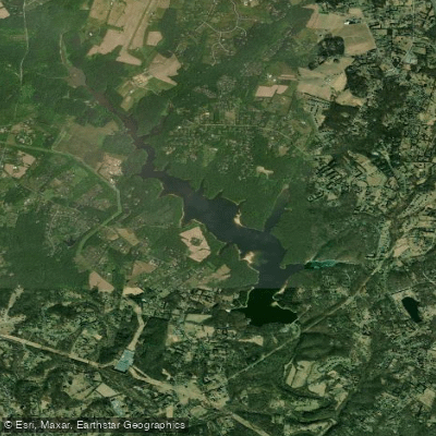
Triadelphia Reservoir

Patuxent River
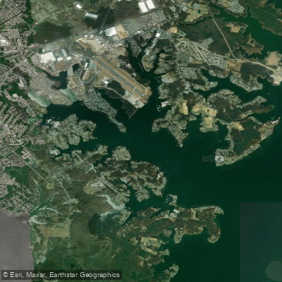
Middle River
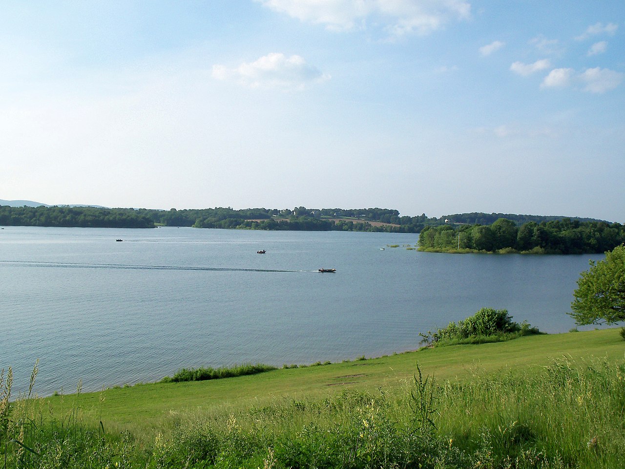
Lake Marburg

Susquehanna River
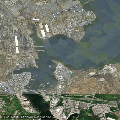
Curtis Bay

Potomac River
Explore Maryland waters
Top paddling waters
Popular Cities
Loading popular cities...
Explore near Gunpowder Falls
Access points
Nearby waters
More in Maryland

Smarter Paddling Starts in the App.
Paddleways gives you everything you need to plan smarter, paddle better, and own every trip from first launch to takeout.