Curated by PaddleWays
RouteClass II–IV
- Distance
- 2.4 mi
- Paddle time
- ~0.5 hrs
- Best for
- Intermediate paddlers, experienced paddlers
- Put-in → take-out
- Franklintown Road Access → Carroll Park Golf Course Access
Class IV rapids on the run
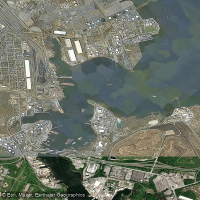
The Gwynns Falls is a 24.9-mile urban stream located in Baltimore County and Baltimore City, Maryland. Originating near Reisterstown in Baltimore County, it flows southeast through the heart of Baltimore City before emptying into the Middle Branch of the Patapsco River, which ultimately drains into the Chesapeake Bay. The Gwynns Falls watershed covers 66 square miles and includes 133 miles of streams.
For paddlers, the Gwynns Falls offers an exciting urban whitewater experience, with several notable sections ranging from Class II to IV in difficulty. The most popular runs include: 1. Lochearn to Franklintown Road (4 miles, Class II-IV) 2. Franklintown Road to Carroll Park Golf Course (4 miles, Class II-IV) 3. Villa Nova Fall Line Section (Class II-IV) These sections are best suited for intermediate to advanced paddlers due to the technical rapids and potential urban hazards. The river is typically runnable year-round, with spring offering the most reliable flows. However, paddlers should be aware that this urban waterway can contain debris and pollution, requiring extra caution and safety precautions.
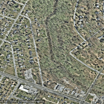
The Gwynns Falls passes through Gwynns Falls/Leakin Park, a vast 1,000-acre urban park that preserves natural landscapes and historic structures along the river valley. This area provides habitat for various urban wildlife species and offers opportunities to observe local flora and fauna.
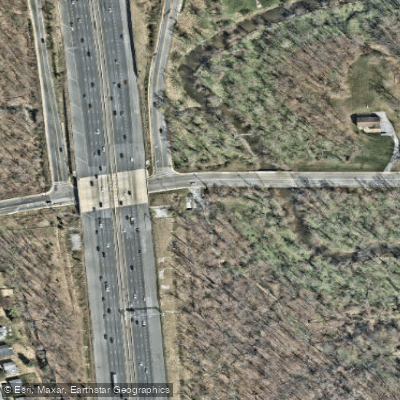
Key landmarks along the river include the eastern terminus of Interstate 70, Carroll Park Golf Course, and the USGS monitoring station near Washington Boulevard. The river flows through several Baltimore neighborhoods, offering a unique perspective on the city's urban landscape. Access points are available at Lochearn, Franklintown Road, and near Carroll Park Golf Course. The nearby Historic Franklintown area and park & ride facility serve as convenient starting points for paddling trips.
The Gwynns Falls holds significant historical and cultural importance as one of Baltimore's major waterways. It has played a crucial role in the city's development and continues to be a focus of urban renewal and environmental conservation efforts.
Safety considerations are paramount when paddling the Gwynns Falls. Paddlers should be aware of water quality issues, potential strainers, and urban debris. It's essential to check water levels and weather conditions before embarking on any trip. While multi-day trips are not common due to the river's urban setting, the Gwynns Falls Trail, a 15-mile hiking and biking path, follows much of the river's course and offers opportunities for extended exploration of the watershed.
Curated routes
Hand-picked by the PaddleWays team, with put-ins, take-outs, paddle times and the hazards along the way.
RouteClass II–IV
RouteClass II–IV
RouteClass II–IV
Hazards
No paddler has reported a hazard here yet, so these are the dams, falls and big rapids on our map. Hazards change with flows and storms, so check them before you launch.
From the community
Nobody has shared a trip on Gwynns Falls yet. Paddle it, then tell the next paddler how it went.
See exactly where the public can get on and off the river. Launch points and boat ramps are paired with PaddleWays' public land data so you know where you can legally land.
Public shoreline
7%of the river's shoreline is public
Most of the riverbank is private. Launch, land and camp only at public access points.
Flows, weather and a route-by-route verdict, so you know which stretch of the Gwynns Falls is worth paddling today.
All Flow Stations
Live flows, marked hazards and fresh trip reports from paddlers who were just on the water, all in one place.





Every user gets free access to launch points, boat ramps, and public property parcels.


Loading popular cities...
PaddleWays gives you everything you need to plan smarter, paddle better, and own every trip from first launch to takeout.