Curated by PaddleWays
RouteClass I–III
- Distance
- 4.7 mi
- Paddle time
- ~1 hr
- Put-in → take-out
- Falls Road Access → Round Falls Access
Round Falls dam, 8 to 15 feet
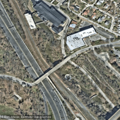
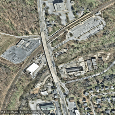
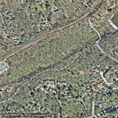
The Jones Falls is an 18-mile urban stream that flows through Baltimore County and Baltimore City in Maryland. Originating north of the city, it travels southward through the Jones Falls Valley before emptying into Baltimore's Inner Harbor. The river and its watershed play a crucial role in Baltimore's geography and history.
For paddlers, the Jones Falls offers a unique urban whitewater experience. The most popular section runs 6 miles from the Falls Road light rail station to Round Falls in Baltimore City. This stretch features Class I+ to Class II(III-) rapids, with difficulty increasing as you progress downstream. The first 2 miles provide a gentle Class I+ warm-up suitable for beginners. After passing the Meadow Mill area, paddlers encounter more challenging Class II rapids, culminating in The Flume - a notable rapid with three Class III channels, including a 6-foot drop on the far right.
The paddling season typically peaks in spring and fall when water levels are most favorable. An annual Dam Demonstration event in mid-October often provides optimal conditions. However, as an urban river, water quality can be a concern, especially after heavy rains.
The Jones Falls Trail, a 10-mile hiking and biking path, parallels much of the river, offering opportunities to scout rapids and enjoy the surprising pockets of nature within the city. Wildlife sightings may include great blue herons, turtles, and various fish species.
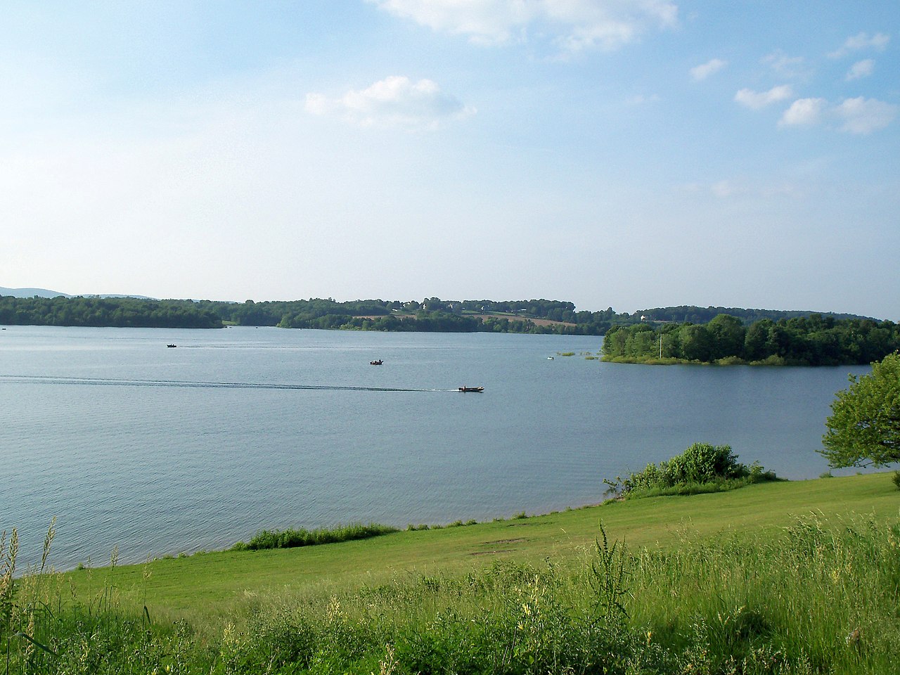
Key landmarks include Lake Roland, a reservoir created by damming the Jones Falls in the 19th century, and Round Falls, an 8 to 15-foot dam that marks the end of the paddleable section. Beyond Round Falls, the river enters a tunnel system leading to the Inner Harbor, which is not safe or legal for paddling.
Primary access points are the Falls Road light rail station (put-in) and Round Falls (take-out), both within Baltimore City limits. Paddlers should be aware of potential hazards like strainers, undercut rocks, and the variable height of Round Falls due to debris accumulation.
The Jones Falls played a significant role in Baltimore's industrial development, powering mills along its banks in the 18th and 19th centuries. Today, it represents an important recreational resource and a focal point for urban watershed restoration efforts. While primarily a day-trip destination, the Jones Falls offers paddlers a thrilling journey through Baltimore's historical and natural landscapes, providing a rare blend of whitewater excitement and urban exploration.
Curated routes
Hand-picked by the PaddleWays team, with put-ins, take-outs, paddle times and the hazards along the way.
RouteClass I–III
Hazards
No paddler has reported a hazard here yet, so these are the dams, falls and big rapids on our map. Hazards change with flows and storms, so check them before you launch.
From the community
Nobody has shared a trip on Jones Falls yet. Paddle it, then tell the next paddler how it went.
See exactly where the public can get on and off the river. Launch points and boat ramps are paired with PaddleWays' public land data so you know where you can legally land.
Public shoreline
2%of the river's shoreline is public
Most of the riverbank is private. Launch, land and camp only at public access points.
Flows, weather and a route-by-route verdict, so you know which stretch of the Jones Falls is worth paddling today.
Live flows, marked hazards and fresh trip reports from paddlers who were just on the water, all in one place.





Every user gets free access to launch points, boat ramps, and public property parcels.


Loading popular cities...
PaddleWays gives you everything you need to plan smarter, paddle better, and own every trip from first launch to takeout.