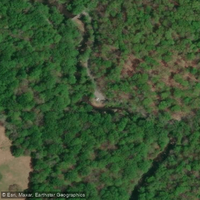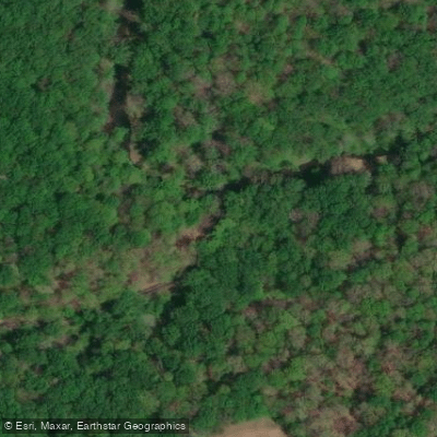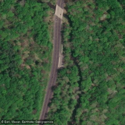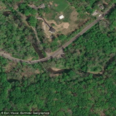
Curated by PaddleWays
RouteClass II–III
- Distance
- 3.7 mi
- Paddle time
- ~1 hr
- Put-in → take-out
- Dogwood Harbor Boat Ramp → Route 40 Access
Potential obstacles and strainers
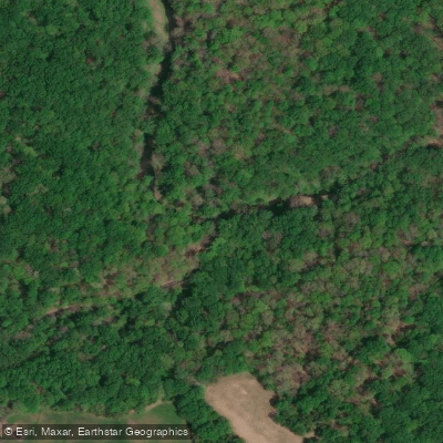
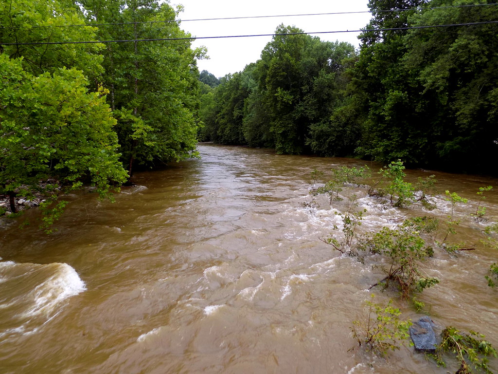
The Little Gunpowder Falls is a scenic waterway in northeastern Maryland, originating near the Pennsylvania border and flowing southeastward to join the Big Gunpowder Falls at Days Cove, forming the Gunpowder River. This approximately 25-mile long stream is part of the larger Gunpowder watershed, which ultimately drains into the Chesapeake Bay.
Paddling opportunities on the Little Gunpowder Falls range from calm flatwater sections to more challenging whitewater runs. The river offers several distinct paddling sections, with difficulties ranging from Class I to III. The most popular section for whitewater enthusiasts is the 5-mile stretch from Parkton to the confluence with Big Gunpowder Falls, featuring Class II-III rapids. For those seeking a milder experience, the 5.1-mile section from Bottom Road at Laurel Brook to Jerusalem Mill offers Class I-II waters suitable for beginners and intermediate paddlers.
The river's flow is generally consistent year-round, but spring and fall typically provide the best paddling conditions. Summer can bring lower water levels, potentially requiring portages in some areas. Paddlers should always check current water levels and weather forecasts before embarking.
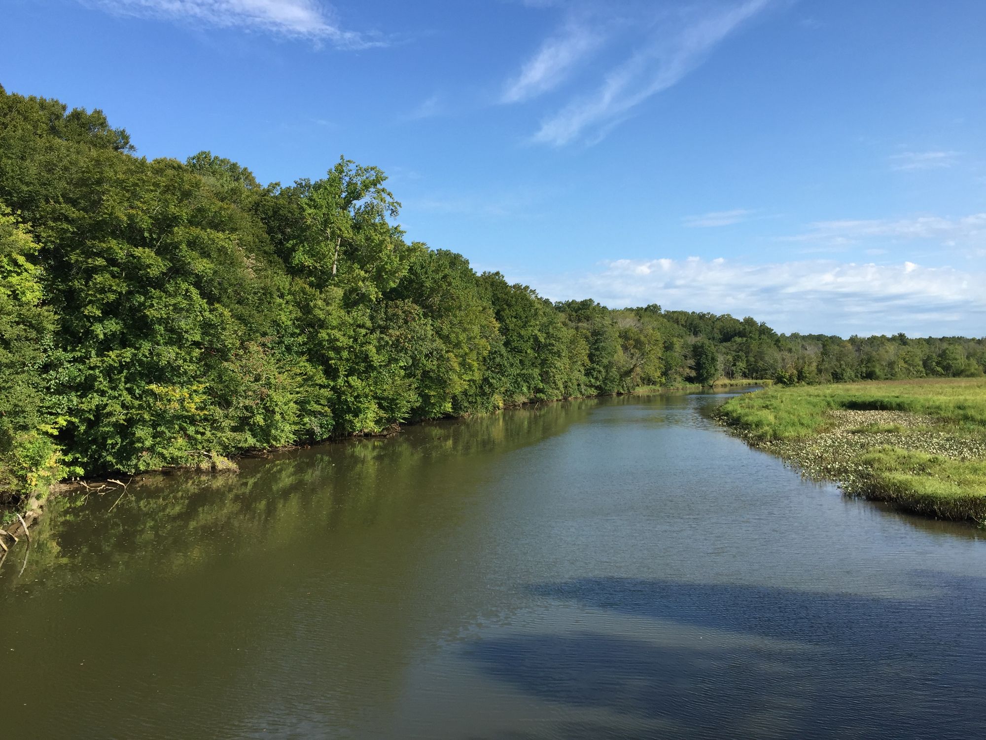
The Little Gunpowder Falls flows through Gunpowder Falls State Park, offering paddlers a chance to observe diverse flora and fauna. The riparian corridor supports a variety of wildlife, including river otters, great blue herons, and numerous fish species. The surrounding forests feature a mix of hardwoods typical of the Mid-Atlantic region.
Key landmarks along the river include the historic Jerusalem Mill Village, which serves as the headquarters for Gunpowder Falls State Park. This restored 18th-century mill complex provides a glimpse into the area's industrial past and serves as a popular put-in or take-out point for paddlers.
Primary access points include Bottom Road near Laurel Brook, Jerusalem Mill (2813 Jerusalem Road, Kingsville), and various locations in Parkton. The nearby towns of Kingsville and Monkton offer services for paddlers.
Safety considerations include being aware of strainers and low-head dams, especially after heavy rains. Paddlers should also note that certain areas of Gunpowder Falls State Park have restrictions on pets during peak season (Memorial Day to Labor Day).
While primarily suited for day trips, ambitious paddlers could potentially string together multiple sections for a multi-day adventure, taking advantage of the park's camping facilities. However, this would require careful planning and potentially some portaging between sections.
The Little Gunpowder Falls, with its mix of pastoral landscapes and forested corridors, offers a quintessential Maryland paddling experience, providing both recreational opportunities and a connection to the region's natural and cultural heritage.
Curated routes
Hand-picked by the PaddleWays team, with put-ins, take-outs, paddle times and the hazards along the way.
RouteClass II–III
RouteClass I–II
Hazards
No hazards are marked on Little Gunpowder Falls yet. That is not the same as none being there: if you find one, report it for the next paddler.
From the community
Nobody has shared a trip on Little Gunpowder Falls yet. Paddle it, then tell the next paddler how it went.
See exactly where the public can get on and off the river. Launch points and boat ramps are paired with PaddleWays' public land data so you know where you can legally land.
Public shoreline
0%of the river's shoreline is public
Most of the riverbank is private. Launch, land and camp only at public access points.
Flows, weather and a route-by-route verdict, so you know which stretch of the Little Gunpowder Falls is worth paddling today.
Live flows, marked hazards and fresh trip reports from paddlers who were just on the water, all in one place.





Every user gets free access to launch points, boat ramps, and public property parcels.


Loading popular cities...
PaddleWays gives you everything you need to plan smarter, paddle better, and own every trip from first launch to takeout.