Severn River
- Saltwater
- Tidal river
Severn River
- Saltwater
- Tidal river
- Sq. miles
- 8
- Boat Ramps
- 2
- Access Points
- 0
- Campsites
- 2
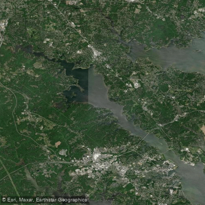
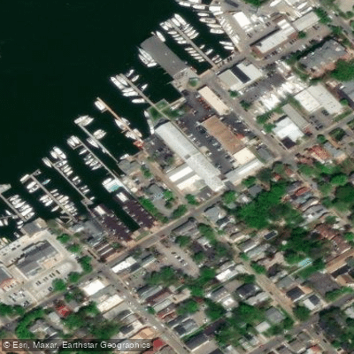
The Severn River is a tidal tributary of the Chesapeake Bay, extending approximately ten miles northwest from Annapolis, Maryland. It is a coastal saltwater feature, characterized as an elongated bay off the Chesapeake with a typical depth of 20-25 feet in its main channel, shallowing to about 10 feet in its numerous tidal creeks. The primary public access point for paddlers is Jonas Green State Park, located near the Naval Academy Bridge in Annapolis. This site offers a free, beginner-friendly beach launch with parking, restrooms, and a dock. Another potential future access point is being planned for Valentine Creek on the upper river, though its development is currently contested. The river's salinity varies seasonally but is generally about one-fifth that of sea water, being freshest in spring and saltiest in fall.
Paddling conditions are dominated by tidal currents, not river flow. The water body is semi-enclosed but has significant exposure to open water near its mouth, leading to potential wind-driven chop, especially given its north-south orientation. The area sees substantial recreational boat traffic, particularly near Annapolis and the Naval Academy, requiring vigilance and awareness of channel crossings. Paddlers should plan trips around the tide stages, aiming to paddle against the incoming tide and with the outgoing to ease travel. The recommended paddling season runs from March through November.
The aesthetic is defined by its Chesapeake Bay setting, featuring views of the U.S. Naval Academy, sunsets over open water, and a mix of developed shoreline and sheltered tidal creeks. Wildlife includes species typical of a Mid-Atlantic estuary. Facilities are primarily concentrated at the Jonas Green launch. There are no indicated paddling-specific restrictions, but standard safety practices like wearing a PFD are essential due to boat traffic, potential wind exposure, and the cold water temperatures outside the summer months.
Water access, boat ramps & amenities
Learn how to get on Severn River. Uncover great paddling access points, boat ramps, and all the facilities you need for an unforgettable day on the water. Some locations shown may border or include private property. Always check property boundaries and applicable regulations before visiting. PaddleWays's Public & Private Land layer can help you plan your access with confidence.
Paddle smarter with real-time insights
Whether you're en route and conditions shift or you're looking for the best spot based on current flows, we enable you to make informed decisions on the fly.








Find Places to Paddle

Over 400,000 Places to Paddle
Every user gets free access to launch points, boat ramps, and public property parcels.


Tides, wind & water conditions (10 day forecast)
On open water, wind and tide matter as much as the weather. See the best times to paddle Severn River and check the marine forecast before you launch.
Loading tide predictions…
Paddling near Severn River

Patuxent River
South River
Patapsco River
Triadelphia Reservoir
Eastern Bay

Potomac River

Susquehanna River
Magothy River
Little Patuxent River
Explore Maryland waters
Top paddling waters
Popular Cities
Loading popular cities...
Explore near Severn River
Access points
Nearby waters
More in Maryland

Smarter Paddling Starts in the App.
Paddleways gives you everything you need to plan smarter, paddle better, and own every trip from first launch to takeout.