Middle Branch Patapsco River
- Saltwater
- Tidal river
Middle Branch Patapsco River
- Saltwater
- Tidal river
- Sq. miles
- 0.5
- Boat Ramps
- 2
- Access Points
- 0
- Campsites
- 1
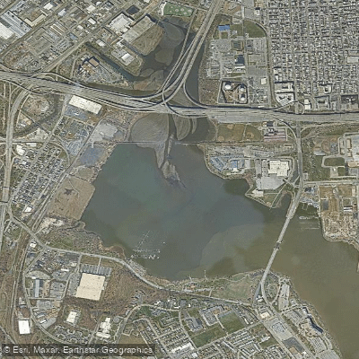
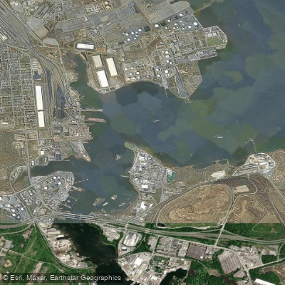
The Middle Branch Patapsco River is a tidal estuary forming a significant part of the Baltimore waterfront, offering a sheltered, urban paddling experience. It is a key component of the Baltimore Blueway, a network of water trails connecting cultural and historic sites. Paddlers can access the water via several public launch points, including a dedicated kayak launch at Middle Branch Park and a free public boat ramp at Broening Park near Brooklyn, which provides parking, a dock, and is open from dawn to dusk. The water is calm and sheltered, suitable for beginners, with mild currents. As a tidal river, paddlers should plan trips around the tide schedule, aiming to paddle against the tide on the way out and with it on the return to conserve energy. The area experiences notable boat traffic, requiring constant vigilance, especially when crossing channels or near the main harbor.
The paddling route offers views of the Baltimore skyline, historic boathouses, and natural wetlands. Wildlife sightings commonly include ducks, herons, and turtles. The area holds historical significance from the War of 1812 and the defense of Fort McHenry. The best seasons for paddling are spring through fall, and water levels can be affected by rain, so paddling during or immediately after storms should be avoided. The water quality and general cleanliness are typical of an urban estuary. Facilities are generally limited to the basic amenities at launch sites. The overall experience blends urban scenery with pockets of natural habitat, providing a unique perspective on the city.
Water access, boat ramps & amenities
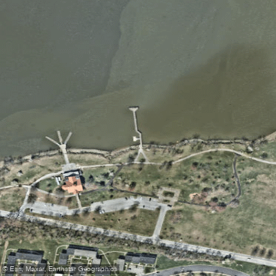
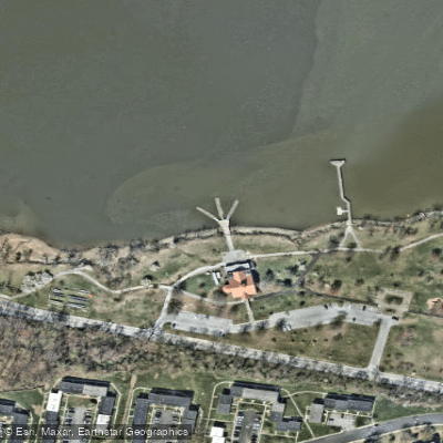
Learn how to get on Middle Branch Patapsco River. Uncover great paddling access points, boat ramps, and all the facilities you need for an unforgettable day on the water. Some locations shown may border or include private property. Always check property boundaries and applicable regulations before visiting. PaddleWays's Public & Private Land layer can help you plan your access with confidence.
Paddle smarter with real-time insights
Whether you're en route and conditions shift or you're looking for the best spot based on current flows, we enable you to make informed decisions on the fly.








Find Places to Paddle

Over 400,000 Places to Paddle
Every user gets free access to launch points, boat ramps, and public property parcels.


Tides, wind & water conditions (10 day forecast)
On open water, wind and tide matter as much as the weather. See the best times to paddle Middle Branch Patapsco River and check the marine forecast before you launch.
Loading tide predictions…
Paddling near Middle Branch Patapsco River
Patapsco River
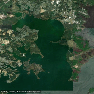
Gunpowder River
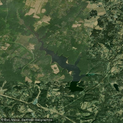
Triadelphia Reservoir

Patuxent River
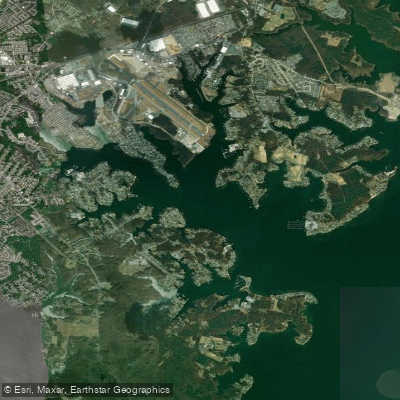
Middle River
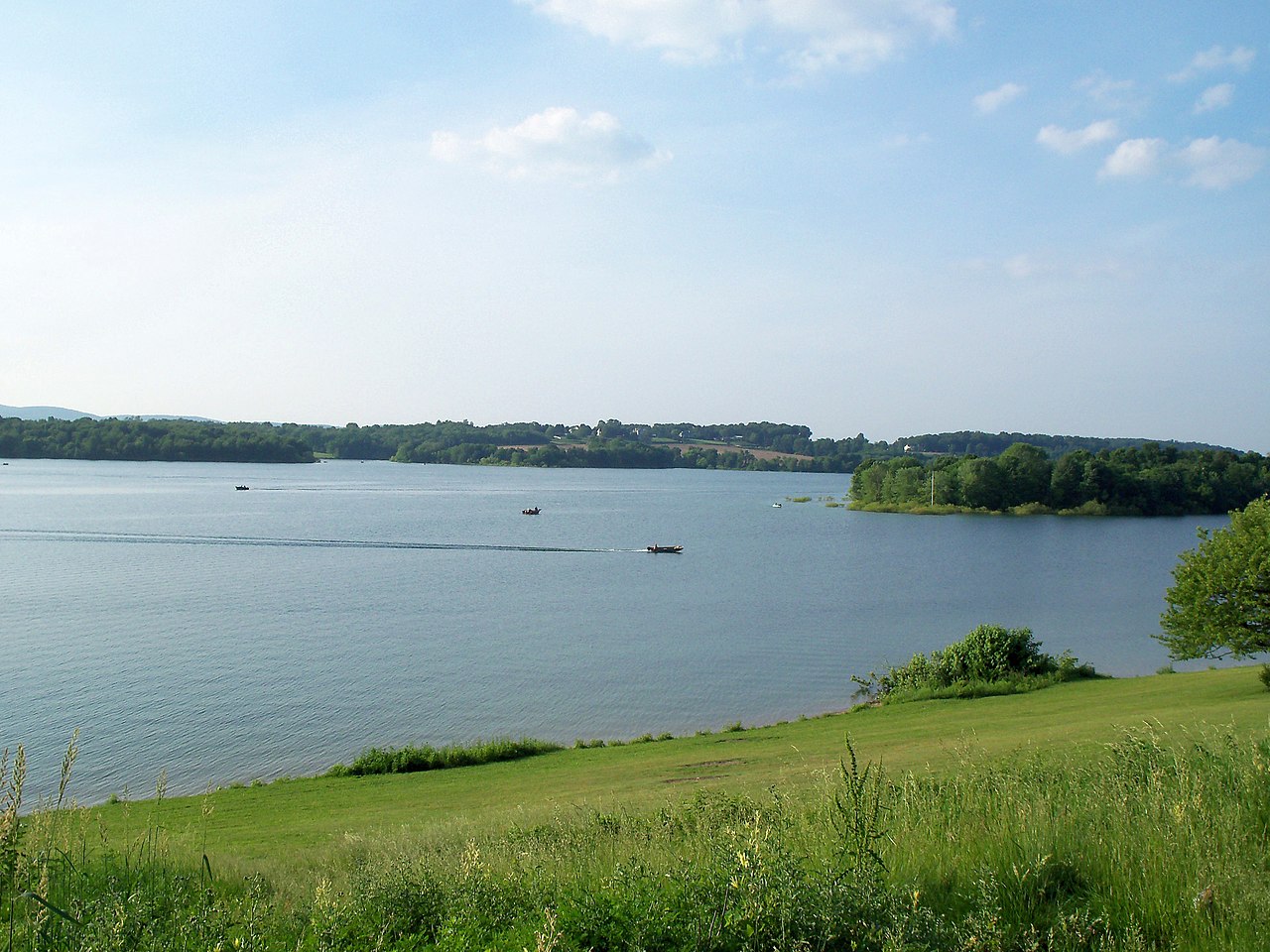
Lake Marburg

Susquehanna River
Curtis Bay

Potomac River
Explore Maryland waters
Top paddling waters
Popular Cities
Loading popular cities...
Explore near Middle Branch Patapsco River
Access points
Nearby waters
More in Maryland

Smarter Paddling Starts in the App.
Paddleways gives you everything you need to plan smarter, paddle better, and own every trip from first launch to takeout.