Round Bay
- Saltwater
- Bay
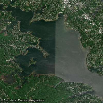
Round Bay
- Saltwater
- Bay
- Sq. miles
- 3.4
- Boat Ramps
- 0
- Access Points
- 0
- Campsites
- 1
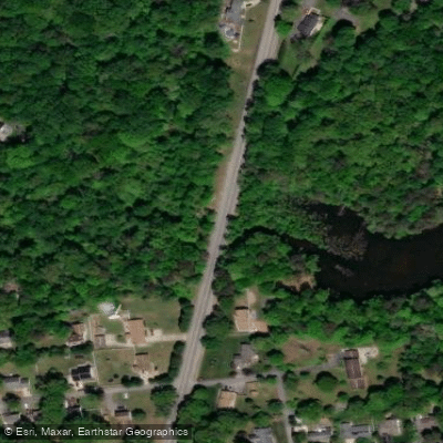
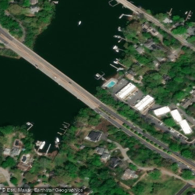
Round Bay is a substantial, open section of the upper Severn River in Maryland, providing paddlers with a scenic saltwater environment. The bay is characterized by its open water, with the notable geographical feature of St. Helena Island situated within it. A primary public access point for hand-launched craft like kayaks, canoes, and SUPs is Jonas Green Park in Annapolis. This soft launch involves a portage of approximately 125 feet from the parking area and provides restrooms and picnic facilities. From here, paddlers can access the Severn River, Chase Creek, and Round Bay, which is about 1.25 miles from the Severn River bridge. Another dedicated launch site is Smith's Marina, located on Browns Cove behind St. Helena Island. This is a paid-access boat ramp with a $20 fee per vehicle; paddlers should note the marina is the only fuel dock on the Severn River, indicating the potential for motorboat traffic in the area. The bay is a big place where it can be challenging to locate your specific launch point upon return, so careful navigation is advised. Paddling conditions are influenced by tidal currents, with one account noting a mild current in the adjacent Little Round Bay. The open nature of the bay means it can be exposed to wind, and paddlers should be prepared for boat traffic, especially near the marina and fuel dock. The area offers a mix of natural and developed shoreline, with grass beds and piers noted along some sections. The aesthetic is that of a classic Chesapeake Bay tributary, with a family-oriented marina setting contributing to the local vibe. Facilities are limited to the launch sites, with Jonas Green Park offering the most public amenities. The upper Round Bay section is noted for providing a scenic paddling route suitable for a range of skill levels.
Water access, boat ramps & amenities
Learn how to get on Round Bay. Uncover great paddling access points, boat ramps, and all the facilities you need for an unforgettable day on the water. Some locations shown may border or include private property. Always check property boundaries and applicable regulations before visiting. PaddleWays's Public & Private Land layer can help you plan your access with confidence.

Paddle smarter with real-time insights
Whether you're en route and conditions shift or you're looking for the best spot based on current flows, we enable you to make informed decisions on the fly.








Find Places to Paddle

Over 400,000 Places to Paddle
Every user gets free access to launch points, boat ramps, and public property parcels.


Tides, wind & water conditions (10 day forecast)
On open water, wind and tide matter as much as the weather. See the best times to paddle Round Bay and check the marine forecast before you launch.
Loading tide predictions…
Paddling near Round Bay

Patuxent River
South River
Patapsco River
Triadelphia Reservoir
Eastern Bay

Potomac River

Susquehanna River
Magothy River
Little Patuxent River
Explore Maryland waters
Top paddling waters
Popular Cities
Loading popular cities...
Explore near Round Bay
Access points
Nearby waters
More in Maryland

Smarter Paddling Starts in the App.
Paddleways gives you everything you need to plan smarter, paddle better, and own every trip from first launch to takeout.