Curated by PaddleWays
RouteClass I–IV
- Distance
- 1.3 mi
- Paddle time
- ~0.5 hrs
- Best for
- Kayak, raft
- Put-in → take-out
- Arrington Road Access → Marriottsville Road Access
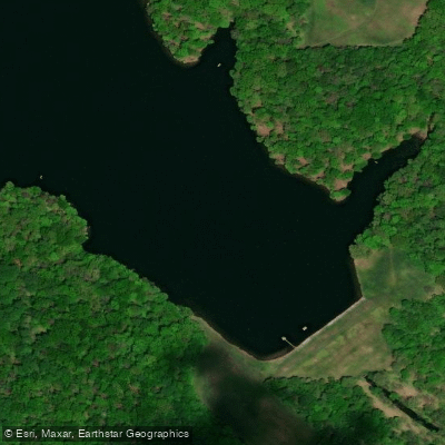
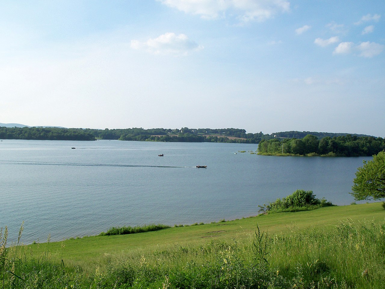
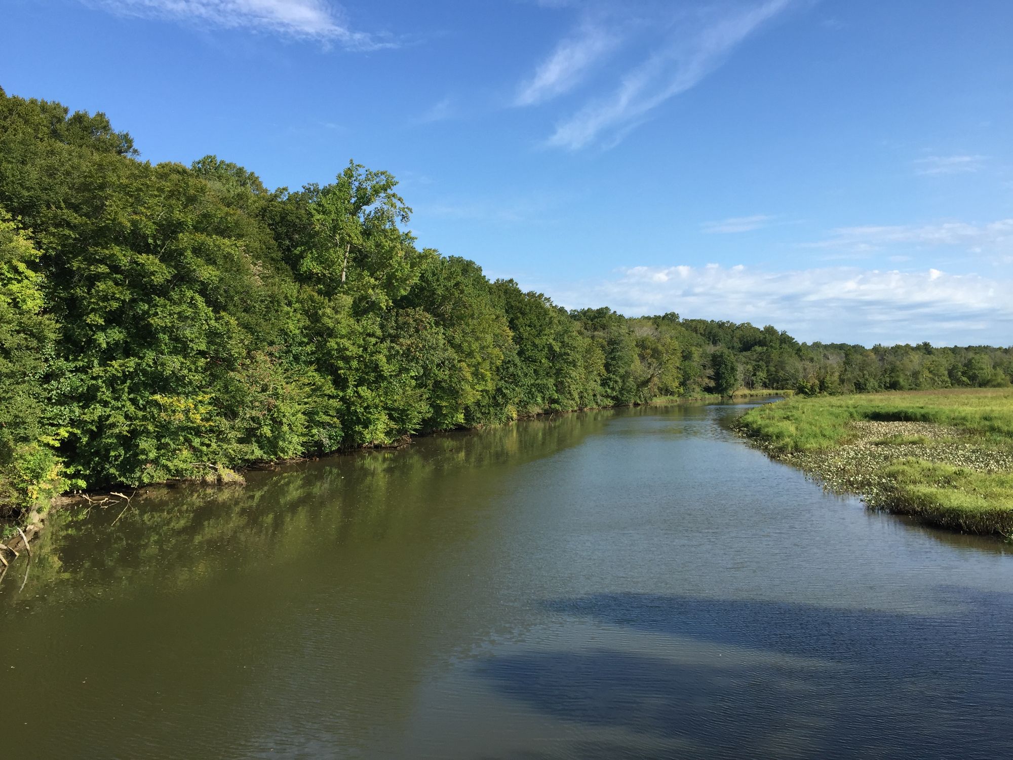
Piney Run flows through the rolling terrain of southeastern Carroll County, Maryland, forming a tributary of the South Branch Patapsco River. In 1973, construction began on a 73-foot earthen dam that transformed this stream into a 300-acre reservoir, creating what would become the centerpiece of Carroll County's oldest developed park. The project, initiated in 1964, was designed to provide water supply, flood protection, and outdoor recreation for the region. The reservoir officially opened to the public in 1976. The lake reaches depths of 50 feet at its lowest point near the dam and holds approximately 2 billion gallons of water. Four distinct coves characterize the reservoir's geography: Farm Cove, Kickout Cove, Dot's Cove, and Nature Center Cove. A restricted wildlife management area occupies the northwestern section, dedicated to channel catfish propagation and off-limits to boaters.
Paddling opportunities on Piney Run Reservoir attract kayakers, canoeists, and stand-up paddleboarders seeking calm flatwater experiences close to Baltimore. The lake operates seasonally, with private boats permitted from March 1 through November 30. Only electric motors are allowed on the water, ensuring a quiet paddling environment. Two boat ramps provide access at the main entrance off Martz Road, with launch fees collected at the gatehouse. Rental boats including kayaks, canoes, rowboats, and pedal boats are available from the boathouse during operating hours.
The reservoir's clear water allows visibility to depths of 8-9 feet, revealing aquatic vegetation and fish below. Largemouth bass, channel catfish, redear sunfish, yellow perch, black crappie, and seasonally stocked rainbow trout inhabit these waters. The shoreline supports native white water lilies in shallow areas. Wildlife viewing opportunities include great blue herons, green herons, wood ducks, Canada geese, turtles, and muskrats. The surrounding 550 acres of deciduous forest and open fields attract over 249 bird species, making this the premier birding location in Carroll County.
Weekday paddling offers the most solitude, as weekends draw larger crowds to the park's recreational facilities. The lake closes to boating from December 1 through February 28, though the park remains open on weekdays during winter months. Paddlers should note that swimming and diving from watercraft are strictly prohibited, and all boaters must comply with Maryland State and Federal requirements. The presence of hydrilla, a non-native aquatic plant, is visible near shorelines and may affect water clarity in certain areas.
Located in Sykesville at 30 Martz Road, the park provides comprehensive amenities including the Piney Run Nature Center, hiking trails exceeding five miles, and picnic facilities, making it an accessible destination for both novice and experienced paddlers.
Curated routes
Hand-picked by the PaddleWays team, with put-ins, take-outs, paddle times and the hazards along the way.
RouteClass I–IV
Hazards
No paddler has reported a hazard here yet, so these are the dams, falls and big rapids on our map. Hazards change with flows and storms, so check them before you launch.
From the community
Nobody has shared a trip on Piney Run yet. Paddle it, then tell the next paddler how it went.
See exactly where the public can get on and off the river. Launch points and boat ramps are paired with PaddleWays' public land data so you know where you can legally land.
Public shoreline
1%of the river's shoreline is public
Most of the riverbank is private. Launch, land and camp only at public access points.
Flows, weather and a route-by-route verdict, so you know which stretch of the Piney Run is worth paddling today.
No forecast data available.
Live flows, marked hazards and fresh trip reports from paddlers who were just on the water, all in one place.





Every user gets free access to launch points, boat ramps, and public property parcels.

Loading popular cities...
PaddleWays gives you everything you need to plan smarter, paddle better, and own every trip from first launch to takeout.