Curated by PaddleWays
RouteFlatwater
- Distance
- 6.4 mi
- Paddle time
- ~2 hrs
- Best for
- Kayak, canoe
- Put-in → take-out
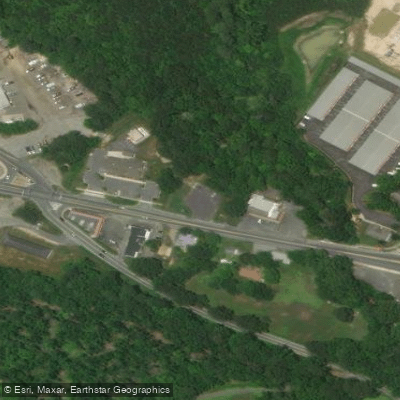
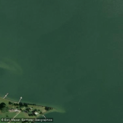
- Downs Park Bay Side Beach Boat Ramp → Leonardtown Wharf Public Park Boat Ramp
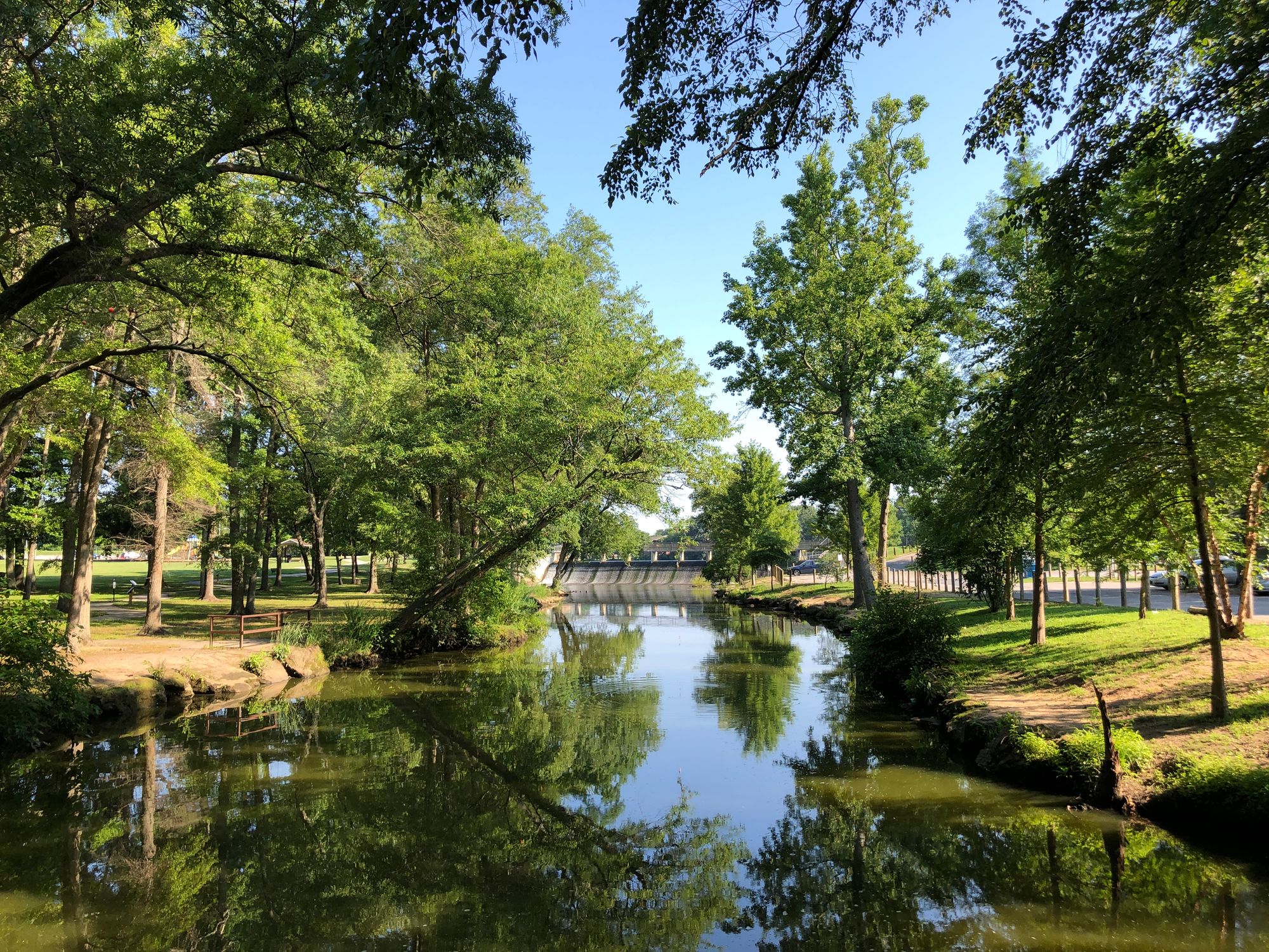
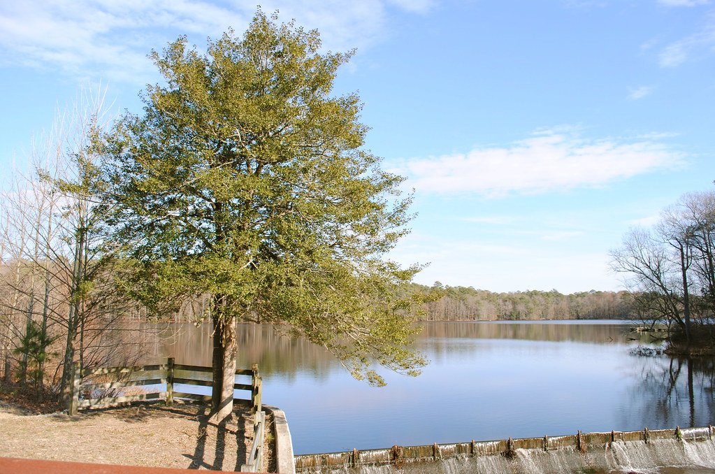
Clogged and polluted headwaters in Great Mills
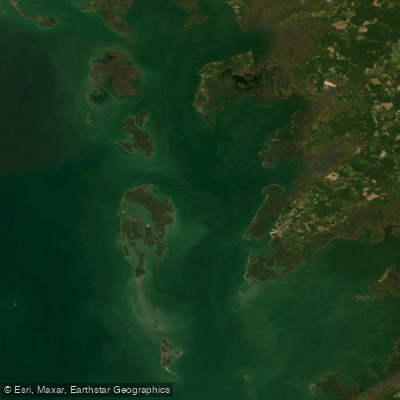
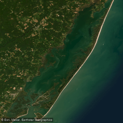
The Saint Marys River is a tidal estuary located in southern Maryland, flowing approximately 15 miles from its headwaters near Great Mills to its mouth at the Potomac River. The river's watershed encompasses about 75 square miles within St. Mary's County.
Paddlers can explore several distinct sections of the Saint Marys River, each offering unique experiences. The Upper St. Mary's River Trail stretches about 10 miles from the Great Mills Kayak Launch to St. Mary's City, allowing paddlers to witness the river's transition from narrow, sheltered headwaters to wider tidal waters. Downstream, the St. Mary's City to St. George Island section provides a more open water paddling experience for about 15 miles.
The river is primarily flatwater, suitable for novice to intermediate paddlers. However, open water conditions near the mouth require more experience. Tidal influences affect paddling difficulty, especially in the lower sections.
Spring and fall offer ideal paddling conditions with moderate temperatures and less boat traffic. Summer can be crowded but provides opportunities to observe nesting ospreys and herons. Winter paddling is possible but requires cold water gear.
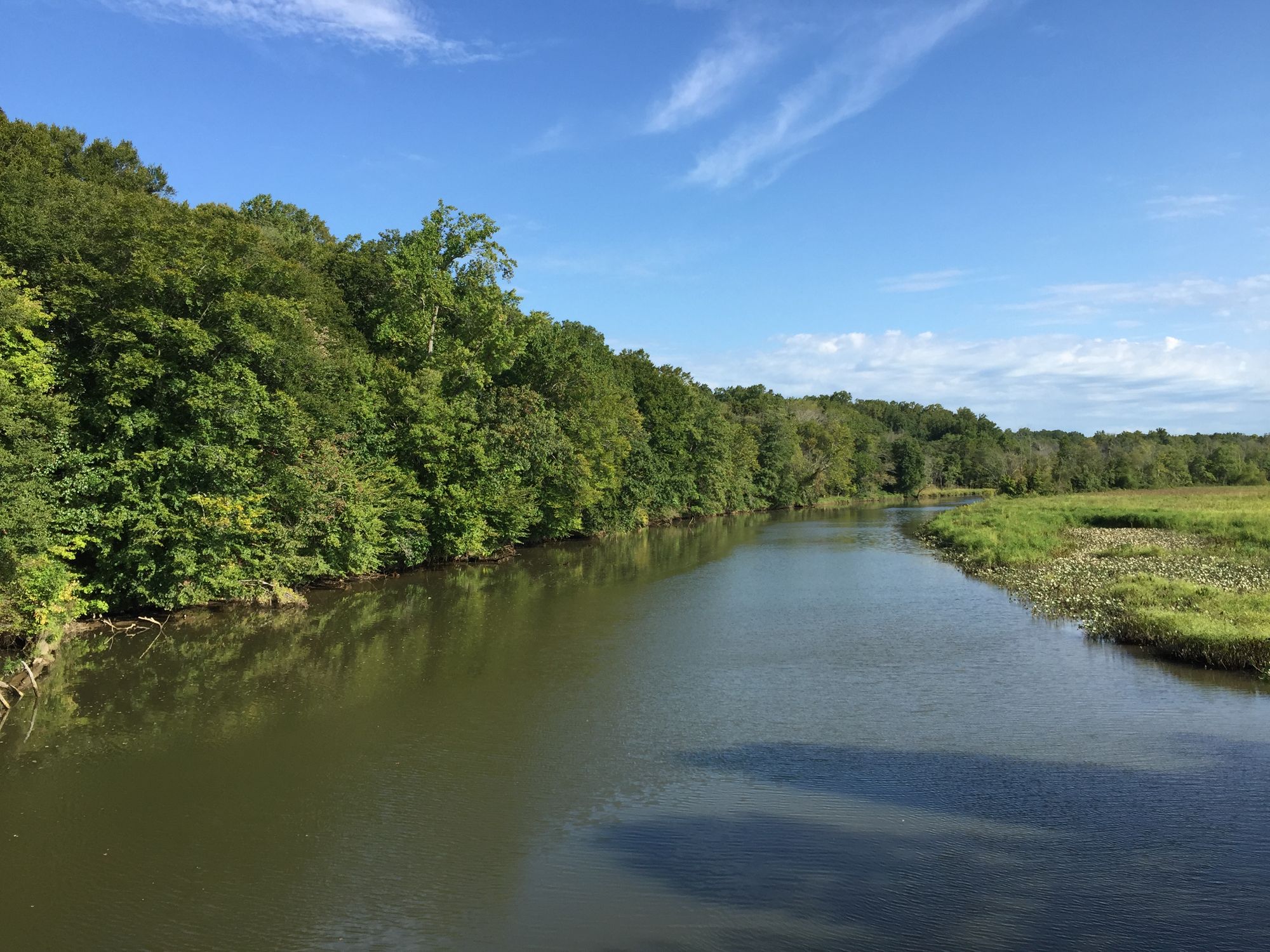
The Saint Marys River supports diverse ecosystems, from freshwater marshes in the upper reaches to brackish habitats near the mouth. Paddlers may encounter bald eagles, great blue herons, and various waterfowl. The shoreline features a mix of hardwood forests and tidal wetlands.
Key landmarks include Historic St. Mary's City, site of Maryland's first colonial settlement, and St. George Island. The river passes by St. Mary's College of Maryland, offering scenic views of the campus.
Primary access points include the Great Mills Kayak Launch, St. Mary's College of Maryland, and St. Inigoes Landing. The nearby towns of Lexington Park and Leonardtown provide amenities for paddlers.
The Saint Marys River holds significant historical importance as the site of Maryland's first colonial capital. Paddlers can explore this heritage at St. Mary's City, where a living history museum showcases 17th-century life.
Paddlers should be aware of tidal changes, motorboat traffic in the lower river, and occasional strong winds, especially near the mouth. Local regulations prohibit disturbing historic sites or wildlife.
For multi-day trips, paddlers can combine the Upper St. Mary's River Trail with explorations of St. Inigoes Creek and the lower river, creating 2-3 day adventures with primitive camping options on sandbars or at designated sites.
Curated routes
Hand-picked by the PaddleWays team, with put-ins, take-outs, paddle times and the hazards along the way.
RouteFlatwater
RouteFlatwater
Hazards
No hazards are marked on Saint Marys River yet. That is not the same as none being there: if you find one, report it for the next paddler.
From the community
Nobody has shared a trip on Saint Marys River yet. Paddle it, then tell the next paddler how it went.
See exactly where the public can get on and off the river. Launch points and boat ramps are paired with PaddleWays' public land data so you know where you can legally land.
Public shoreline
0%of the river's shoreline is public
Most of the riverbank is private. Launch, land and camp only at public access points.
Flows, weather and a route-by-route verdict, so you know which stretch of the Saint Marys River is worth paddling today.
Live flows, marked hazards and fresh trip reports from paddlers who were just on the water, all in one place.





Every user gets free access to launch points, boat ramps, and public property parcels.


Loading popular cities...
PaddleWays gives you everything you need to plan smarter, paddle better, and own every trip from first launch to takeout.