Paddling in Massachusetts
- Lakes
- 2,399
- Rivers
- 1,903
- Access
- 326
- Boat Ramps
- 700
- Shops
- 15
Massachusetts paddling is really two states stitched together: a release-driven whitewater scene in the western hill towns, and a tide-driven coastal scene from Boston down through the Cape. About a hundred miles separate them, and the skills barely overlap.
The western anchor is the Deerfield, which the locals call the hardest-working river in the state for good reason — ten dams across its length, and a paddling calendar that runs on the hydroelectric operator's schedule rather than the weather's.
The Fife Brook section below the dam in Florida gets 106 scheduled releases from April into October, Class II with a Class III crux at Zoar Gap that stiffens to III+/IV once flows push past about 2,000 cfs.
Above that, the Monroe Bridge Dryway runs 32 release days a year for Class III–IV boaters chasing Dragon's Tooth. This is rare in the Northeast — a long, reliable warm-weather window without having to chase rain.
Zoar Outdoor in Charlemont has been the institutional center of it all since 1989, and Deerfield Fest in early August is where the community gathers: rodeo, BoaterX, Dryway downriver race, AW auction.
The Millers River is the rawer counterpart, a brief big-water window in April when snowmelt and Army Corps releases from Birch Hill and Tully Lake dams light up the Erving/Farley section — Class II–IV, with The Funnel and Tsunami as the marquee drops before it spills into French King Gorge.
It's a short season, sometimes just two or three weekends, and outfitters watch the gauges daily.
Upstream, the same river quiets down for the Millers River Blue Trail between Athol and Orange, a six-mile flatwater run the watershed council established in 2011 and the venue for the April River Rat Race.
For touring, the Connecticut River is the spine of the Pioneer Valley, with Barton Cove near Turners Falls as the signature stop — eagles nesting on Barton Island, and FirstLight running a free portage shuttle around the dam for paddlers continuing downstream.
Tully Lake in Royalston is the weekend canoe-camping pick, island-studded and connected through the Tully River into Long Pond. East of the hills, the game changes.
The Charles carries Boston's urban paddling — a river that was a punchline a generation ago and now hosts the Run of the Charles on the last Sunday in April, some 1,200 paddlers across canoe, kayak, and SUP divisions.
On the Cape, Nauset Marsh is the spiritual home of Massachusetts sea kayaking: a tidal labyrinth inside the National Seashore where NPS rangers run guided trips June through September, and where misreading the tide means sitting on mud flats until the water comes back.
The through-line is stewardship. The Charles got clean because people fought for it. The Millers has a Blue Trail because the watershed council built one. Paddlers here tend to know that history, and carry it.
Top waters to paddle near Massachusetts
Quabbin Reservoir

Wachusett Reservoir
Assawompset Pond
Long Pond
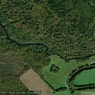
Charles River

Merrimack River

Connecticut River

Onota Lake
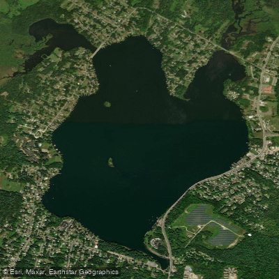
Pontoosuc Lake
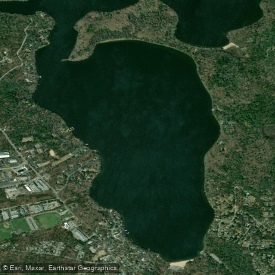
Mashpee Pond
Paddle smarter with real-time insights
Whether you're en route and conditions shift or you're looking for the best spot based on current flows, we enable you to make informed decisions on the fly.







Massachusetts licenses and regulations
National parks in Massachusetts
Explore Massachusetts waters
Top paddling waters
Popular Cities
Loading popular cities...

Smarter Paddling Starts in the App.
Paddleways gives you everything you need to plan smarter, paddle better, and own every trip from first launch to takeout.