Mashpee Pond
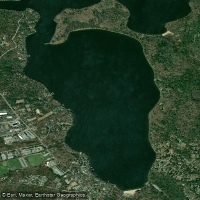
Mashpee Pond
- Boat Ramps
- 2
- Access Points
- 2
- Campsites
- 2
Mashpee Pond, together with adjoining Wakeby Pond, forms the largest freshwater pond system on Cape Cod at 737 acres. The ponds are connected by a channel and share similar characteristics, with Mashpee forming the southern basin and Wakeby the northern basin. A large undeveloped peninsula known as the Lowell Holly Reservation separates the two bodies of water.
Primary access is via a paved public boat ramp with parking for 30 vehicles at Fisherman's Landing Road. During summer months, the town charges a parking fee. Alternative access is available on the southeast side of Wakeby Pond off South Sandwich Road.
The pond system features moderate aquatic vegetation and a bottom composed primarily of rubble and gravel with some sandy areas. Water clarity is fair, with transparency measuring 8.5 feet. Maximum depth reaches 95 feet, with an average depth of 30 feet. The shoreline spans 7.4 miles and is largely developed with homes, town beaches, and summer camps, though three undeveloped islands (Jefferson, Keith and Cleveland) dot Wakeby Pond.
The ponds are fed by groundwater with no inlet streams. The sole outlet is the Mashpee River, which flows to Popponesset Bay. A cranberry bog borders Wakeby Pond's east side, while forest dominates much of the remaining shoreline. The Lowell Holly Reservation peninsula features over 50 varieties of holly trees.
For paddlers interested in wildlife, the pond system supports diverse fish populations including largemouth and smallmouth bass, chain pickerel, yellow perch, and white perch. The pond is stocked with brook, brown, and rainbow trout in spring and fall. Sea-run herring make their way up from Nantucket Sound through the Mashpee River, providing abundant forage for gamefish.
A typical paddling circuit of both ponds takes approximately 3 hours to complete. The open water can be subject to wind, so paddlers should monitor conditions.
Water access, boat ramps & amenities
Learn how to get on Mashpee Pond. Uncover great paddling access points, boat ramps, and all the facilities you need for an unforgettable day on the water. Some locations shown may border or include private property. Always check property boundaries and applicable regulations before visiting. PaddleWays's Public & Private Land layer can help you plan your access with confidence.
Paddle smarter with real-time insights
Whether you're en route and conditions shift or you're looking for the best spot based on current flows, we enable you to make informed decisions on the fly.








Find Places to Paddle

Over 400,000 Places to Paddle
Every user gets free access to launch points, boat ramps, and public property parcels.


Water and weather conditions (10 day forecast)
See the best times to paddle Mashpee Pond and check the forecast before you go.
No forecast data available.
Paddling near Mashpee Pond

Taunton River
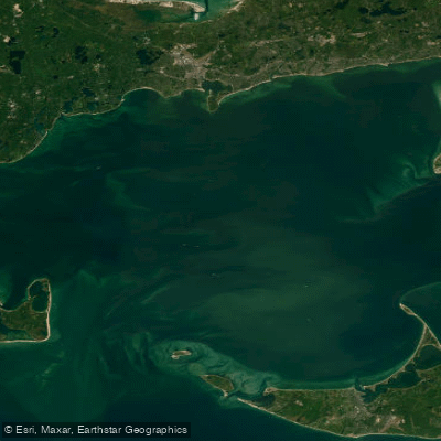
Nantucket Sound
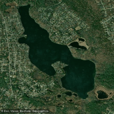
Santuit Pond
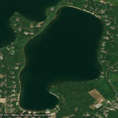
Hamblin Pond
Cape Cod Bay
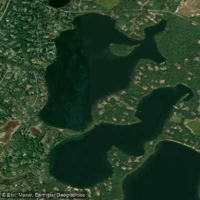
Mystic Lake
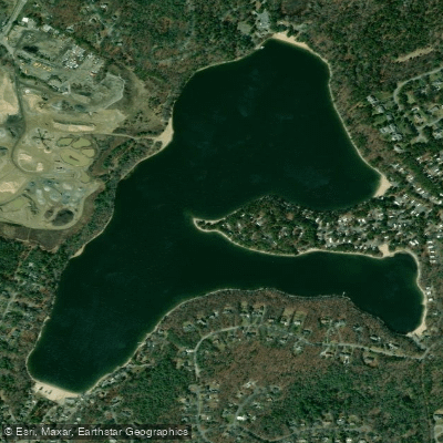
Peters Pond
Buzzards Bay
Wequaquet Lake
Explore Massachusetts waters
Top paddling waters
Popular Cities
Loading popular cities...
Explore near Mashpee Pond
Access points
Nearby waters
More in Massachusetts

Smarter Paddling Starts in the App.
Paddleways gives you everything you need to plan smarter, paddle better, and own every trip from first launch to takeout.