Quabbin Reservoir
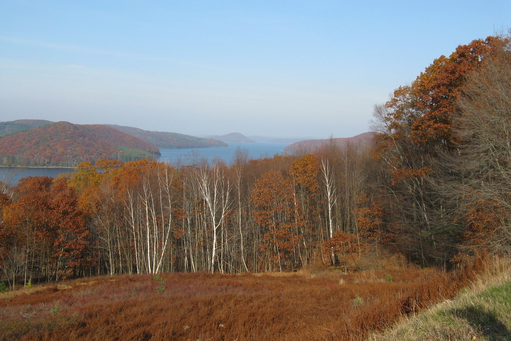
Quabbin Reservoir
- Boat Ramps
- 4
- Access Points
- 10
- Campsites
- 1
Quabbin Reservoir is a 25,000-acre lake in Massachusetts that offers limited paddling opportunities due to its role as a drinking water supply. Kayaking is prohibited on the main reservoir to protect water quality. However, paddling is allowed in designated areas with restrictions.
The reservoir is open for fishing and boating from the third Saturday in April through the third Saturday in October each year. There are three main boat launch areas: Fishing Area 1 on the southwest side, Fishing Area 2 at the northern end, and Fishing Area 3 on the eastern shore. Rental boats are available at each launch, though numbers are limited.
Only boats with motors 25 hp or less are permitted. Personal watercraft, water skiing, and body contact activities are prohibited. Boats must be inspected for invasive species before launching. Life jackets are required for all boaters.
The reservoir offers scenic views and opportunities to see wildlife like bald eagles, moose, otters, and loons. The western arm has the deepest water, reaching over 100 feet in some areas. The northern portion is shallower with many islands and structure. Water temperatures can be quite cold, even in summer.
Shore fishing access is available at gates 8-16a on the western arm and gates 22-44 on the north/central basin. Night fishing is allowed with a permit at certain gates. A parking pass is required even for shore access.
While paddling opportunities are limited, Quabbin Reservoir provides a unique environment to potentially see wildlife and enjoy an incredible natural setting, albeit with significant restrictions to protect the drinking water supply.
Water access, boat ramps & amenities
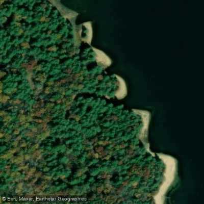
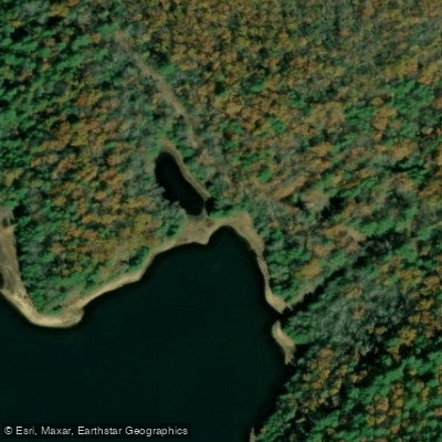
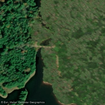
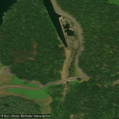
Learn how to get on Quabbin Reservoir. Uncover great paddling access points, boat ramps, and all the facilities you need for an unforgettable day on the water. Some locations shown may border or include private property. Always check property boundaries and applicable regulations before visiting. PaddleWays's Public & Private Land layer can help you plan your access with confidence.
Paddle smarter with real-time insights
Whether you're en route and conditions shift or you're looking for the best spot based on current flows, we enable you to make informed decisions on the fly.








Find Places to Paddle

Over 400,000 Places to Paddle
Every user gets free access to launch points, boat ramps, and public property parcels.


Water and weather conditions (10 day forecast)
See the best times to paddle Quabbin Reservoir and check the forecast before you go.
EAST BRANCH SWIFT RIVER NEAR HARDWICK, MA
Paddling near Quabbin Reservoir

Connecticut River
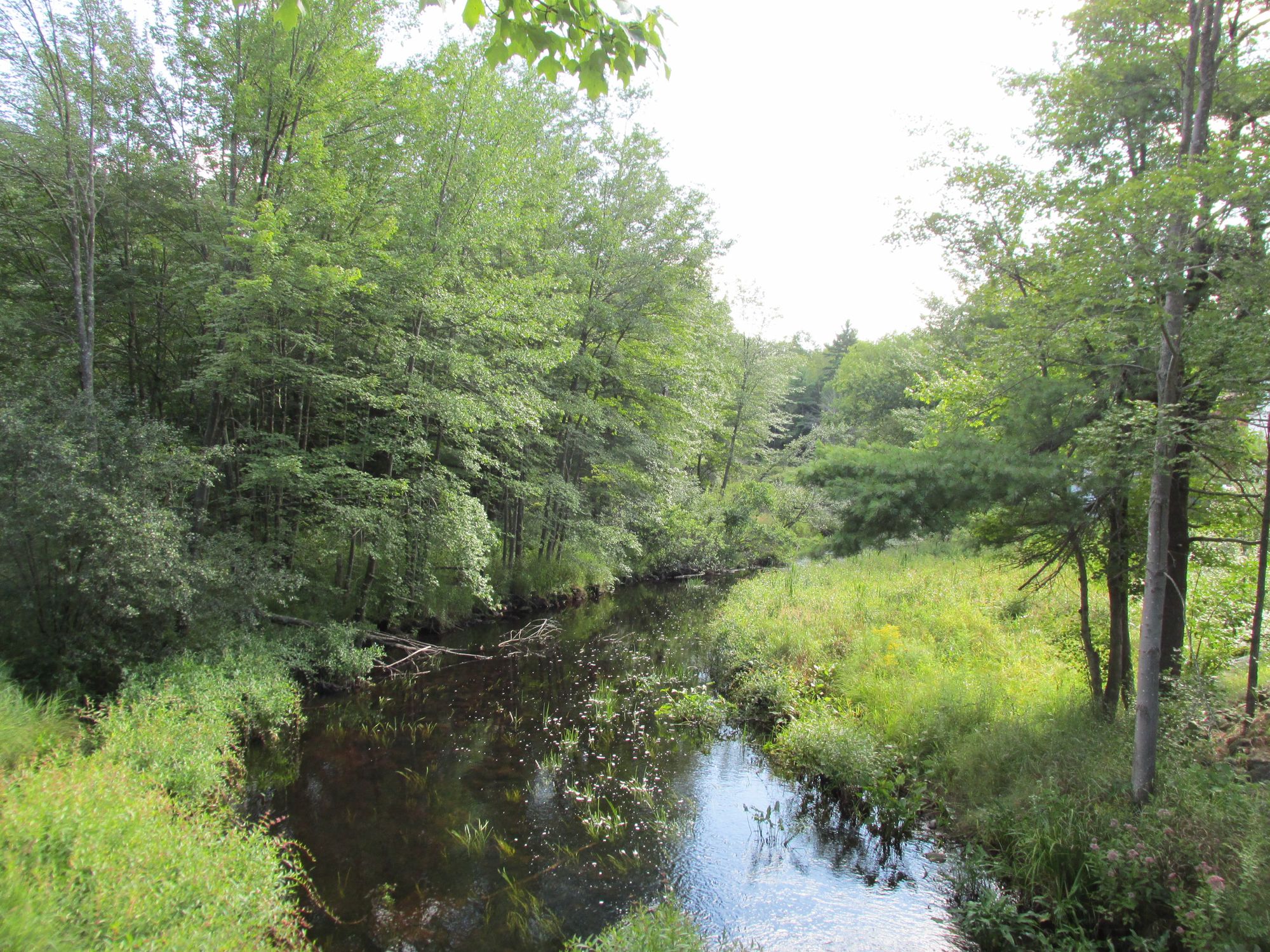
Millers River
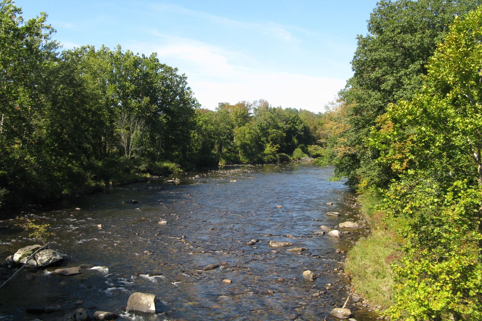
Westfield River

Wachusett Reservoir
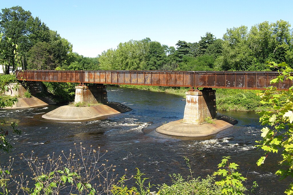
Quaboag River
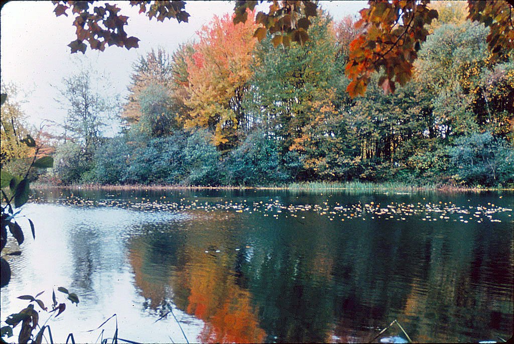
Ashuelot River
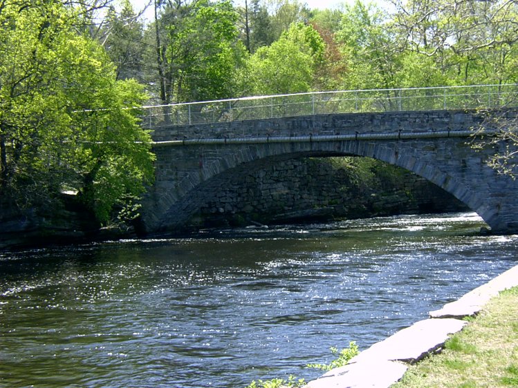
Willimantic River

Housatonic River
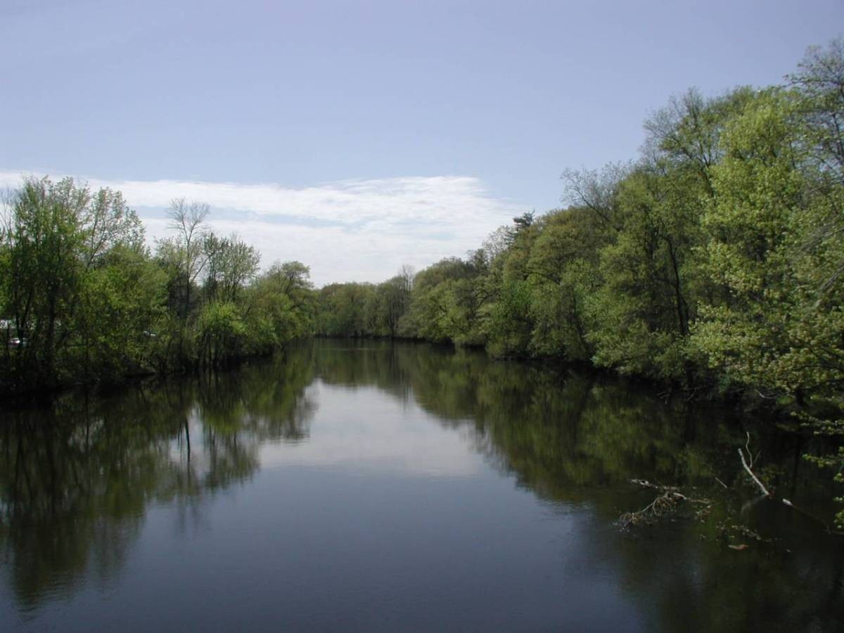
Farmington River
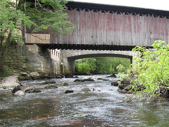
Contoocook River
Explore Massachusetts waters
Top paddling waters
Popular Cities
Loading popular cities...
Explore near Quabbin Reservoir
Access points
- Quabbin Reservoir Boat Ramp
- Quabbin Reservoir Boat Ramp
- Quabbin Reservoir-Pelham Boat Ramp
- Quabbin Reservoir Boat Ramp
- Western Shoreline Access
- Eastern Shoreline Access
- Eastern Shoreline Access
- Eastern Shoreline Access
- Quabba Spillway Access
- Western Shoreline Access
- Water Quab Rs S Baf Dam Bridge
- Water Swift River Bridge
- All 47 spots
Nearby waters
More in Massachusetts

Smarter Paddling Starts in the App.
Paddleways gives you everything you need to plan smarter, paddle better, and own every trip from first launch to takeout.