Wachusett Reservoir

Wachusett Reservoir
- Boat Ramps
- 0
- Access Points
- 16
- Campsites
- 0
Wachusett Reservoir, the second largest body of water in Massachusetts at 4,135 acres, is not open for paddling or any boating. The reservoir serves as a drinking water supply for the Boston metro area, containing 65 billion gallons of water. Due to its protected status, no boats, including kayaks and canoes, are allowed on the reservoir.
While paddling is prohibited, the reservoir offers other recreational opportunities along its 37 miles of shoreline. Fishing is permitted from designated shore areas during the season running from the first Saturday in April through November, ice conditions permitting. Popular fishing spots include Thomas Basin, Scar Hill Bluffs, and various gated access points. The reservoir is known for its diverse fish population, including smallmouth bass, lake trout, Atlantic salmon, and both rainbow and brown trout.
The area surrounding Wachusett Reservoir provides hiking and biking trails. Visitors can enjoy scenic views of the water and potentially spot wildlife like deer. The reservoir is open daily from sunrise to sunset, with several parking areas near access gates.
It's important to note that dogs are not allowed in the area around the reservoir. Additionally, all activities are restricted to designated areas to protect the water supply. While paddling enthusiasts cannot explore Wachusett Reservoir itself, the nearby Waushacum Ponds to the north near Sterling Junction do offer canoe and kayak access for those seeking a paddling experience in the region.
Water access, boat ramps & amenities
Learn how to get on Wachusett Reservoir. Uncover great paddling access points, boat ramps, and all the facilities you need for an unforgettable day on the water. Some locations shown may border or include private property. Always check property boundaries and applicable regulations before visiting. PaddleWays's Public & Private Land layer can help you plan your access with confidence.
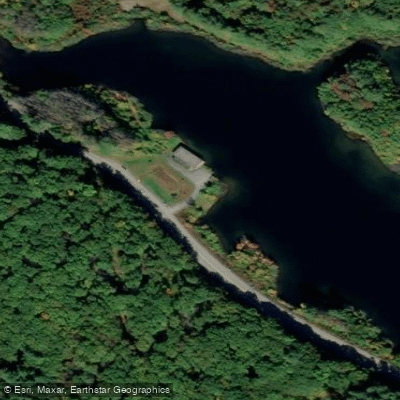
South Bay Gate 18 Access
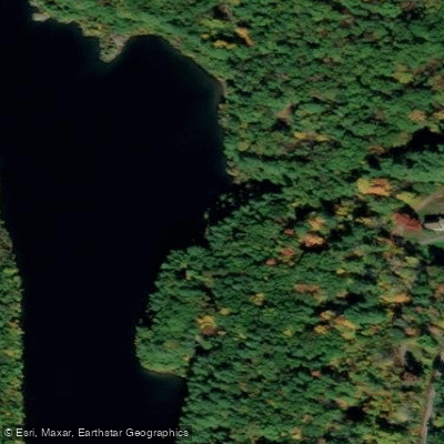
Andrews Harbor Gate 10 Access
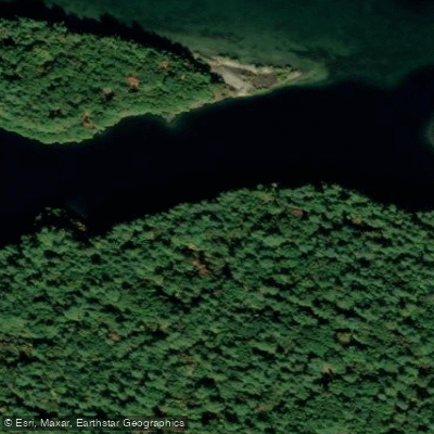
Gate 7 Access
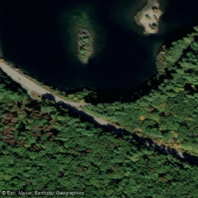
South Bay Gate 17 Access
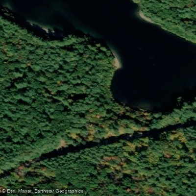
Hastings Cove Gate 6 Access
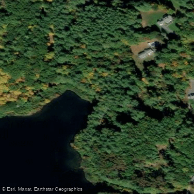
South Bay Gate 16 Access
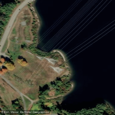
Gates Cove Gate 25 Access
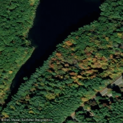
Andrews Harbor Gate 11 Access
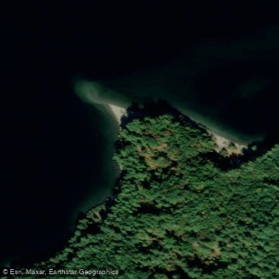
Sawyer Bluff Gate 8 Access
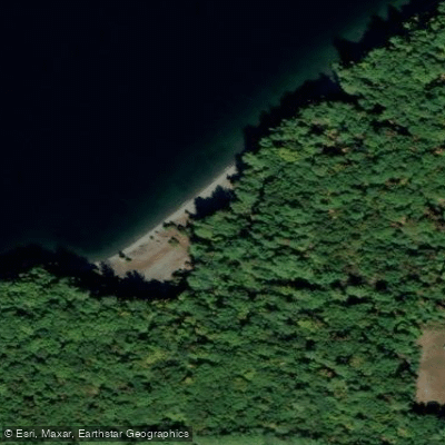
Scar Hill Bluffs Gate 13 Access
Paddle smarter with real-time insights
Whether you're en route and conditions shift or you're looking for the best spot based on current flows, we enable you to make informed decisions on the fly.








Find Places to Paddle

Over 400,000 Places to Paddle
Every user gets free access to launch points, boat ramps, and public property parcels.


Water and weather conditions (10 day forecast)
See the best times to paddle Wachusett Reservoir and check the forecast before you go.
GATES BROOK NEAR WEST BOYLSTON, MA
Paddling near Wachusett Reservoir

Assabet River
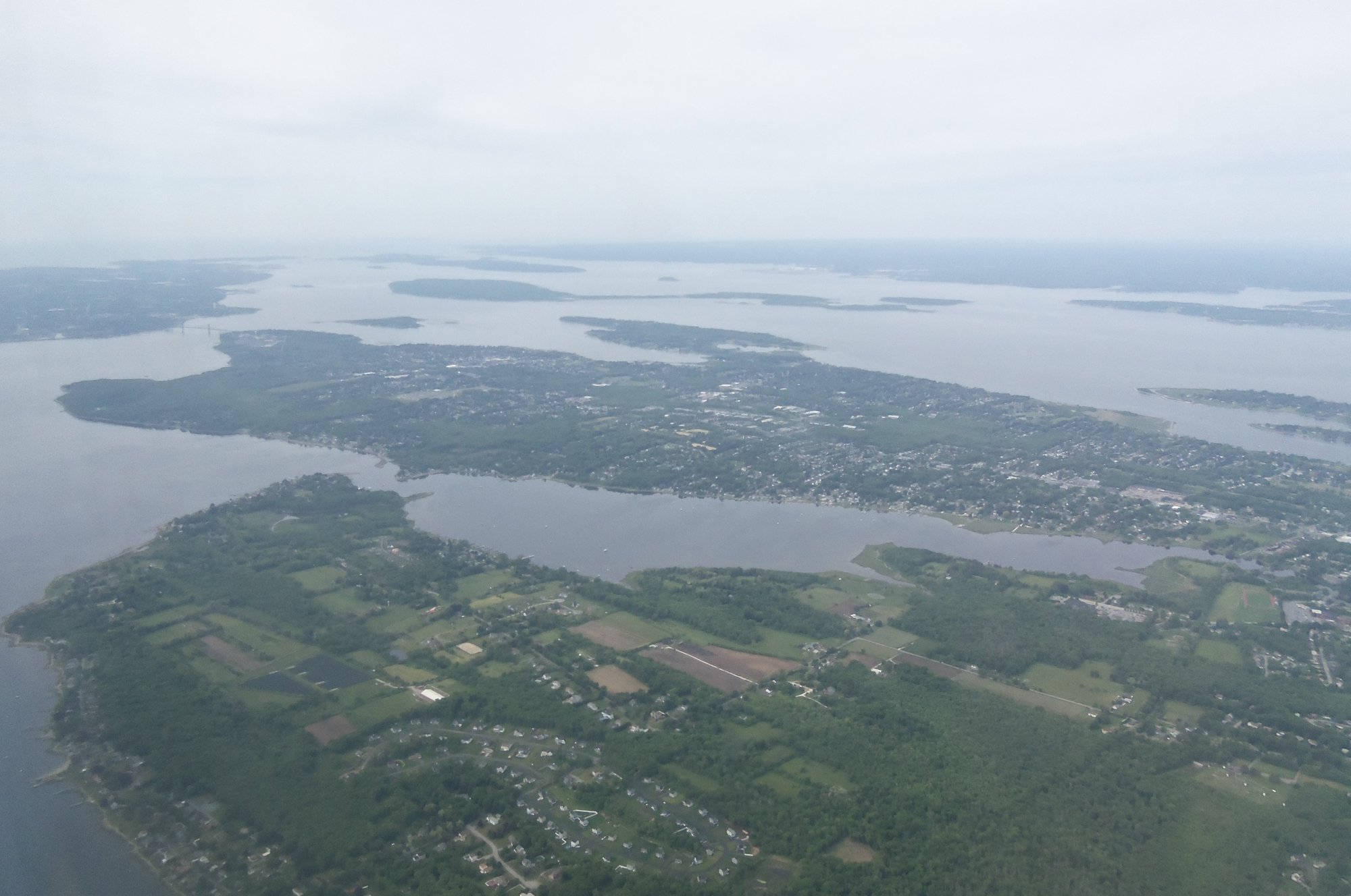
Narragansett Bay

Sudbury River

Charles River

Massachusetts Bay

Concord River
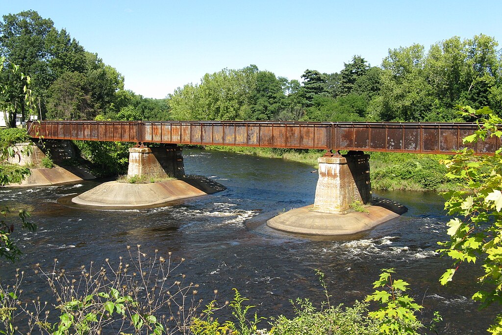
Quaboag River
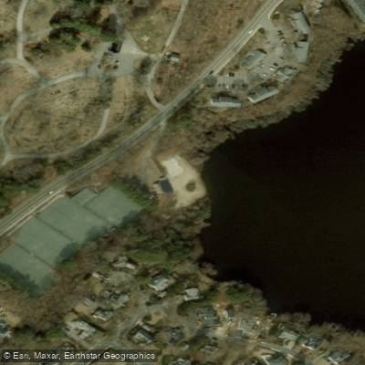
Borggaard Beach

Merrimack River
Explore Massachusetts waters
Top paddling waters
Popular Cities
Loading popular cities...
Explore near Wachusett Reservoir
Access points
- South Bay Gate 18 Access
- Andrews Harbor Gate 10 Access
- Gate 7 Access
- South Bay Gate 17 Access
- Hastings Cove Gate 6 Access
- South Bay Gate 16 Access
- Gates Cove Gate 25 Access
- Andrews Harbor Gate 11 Access
- Sawyer Bluff Gate 8 Access
- Scar Hill Bluffs Gate 13 Access
- Rainbow Cove Access
- Lord Cove Gate 9 Access
- All 80 spots
Nearby waters
More in Massachusetts

Smarter Paddling Starts in the App.
Paddleways gives you everything you need to plan smarter, paddle better, and own every trip from first launch to takeout.