Onota Lake

Onota Lake
- Boat Ramps
- 2
- Access Points
- 2
- Campsites
- 0
Onota Lake is a 617-acre body of water located in Pittsfield, Massachusetts. The lake is divided into two basins by an old submerged roadway, giving it the nickname "two lakes in one". With a maximum depth of 66 feet and an average depth of 22 feet, Onota Lake offers ample space for paddling adventures.
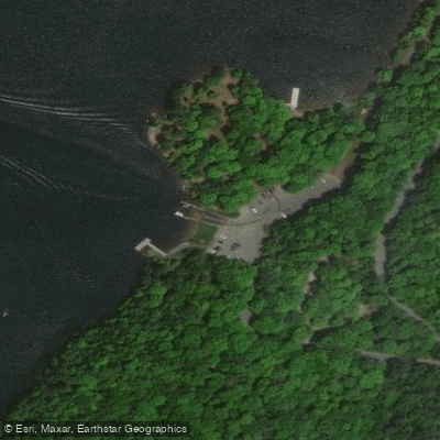
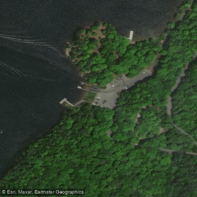
The primary access point for paddlers is Burbank Park Boat Launch on the eastern shore. This launch area features a wide concrete ramp with long docks, providing easy put-in for canoes and kayaks. Ample parking is available for vehicles and trailers.
Wildlife viewing opportunities abound on Onota Lake. Paddlers can spot various waterfowl species and even eagles across the water. In autumn, the surrounding Berkshire hills showcase vibrant fall foliage, creating a picturesque backdrop for paddling.
Burbank Park offers several amenities for paddlers, including picnic areas, a swimming beach, and restroom facilities. A paved walking trail along the lakeshore provides opportunities to stretch your legs before or after paddling.
Water quality in Onota Lake is generally good, with a reported transparency of about 17 feet. However, aquatic vegetation can be dense in shallow areas, particularly in the northern coves. Paddlers should be aware that water levels are intentionally lowered by 3 feet each fall to protect shoreline integrity.
While no specific paddling routes are outlined, the lake's two distinct basins offer variety for day trips. Paddlers can explore the quieter coves or venture into the more open waters of the main basins.
Onota Lake is actively managed for recreation and conservation. The Lake Onota Preservation Association monitors water quality, while the City of Pittsfield oversees the lake and its facilities. Paddlers should check for any current regulations or advisories before their trip.
Water access, boat ramps & amenities
Learn how to get on Onota Lake. Uncover great paddling access points, boat ramps, and all the facilities you need for an unforgettable day on the water. Some locations shown may border or include private property. Always check property boundaries and applicable regulations before visiting. PaddleWays's Public & Private Land layer can help you plan your access with confidence.
Paddle smarter with real-time insights
Whether you're en route and conditions shift or you're looking for the best spot based on current flows, we enable you to make informed decisions on the fly.








Find Places to Paddle

Over 400,000 Places to Paddle
Every user gets free access to launch points, boat ramps, and public property parcels.


Water and weather conditions (10 day forecast)
See the best times to paddle Onota Lake and check the forecast before you go.
No forecast data available.
Paddling near Onota Lake

Housatonic River
Westfield River

Hudson River
Mohawk River

Connecticut River
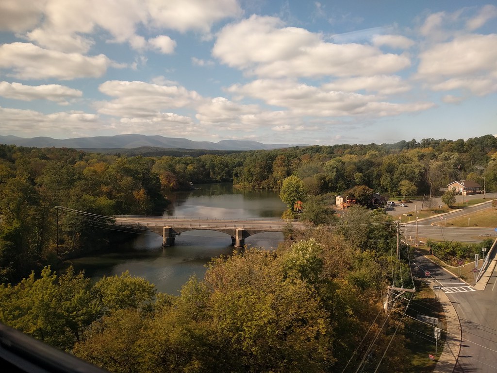
Catskill Creek
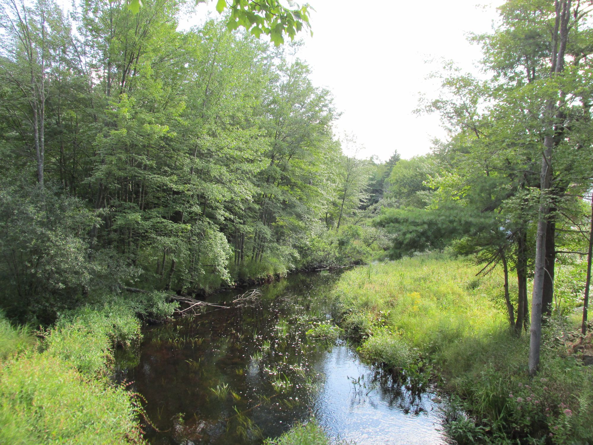
Millers River
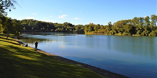
Schoharie Creek
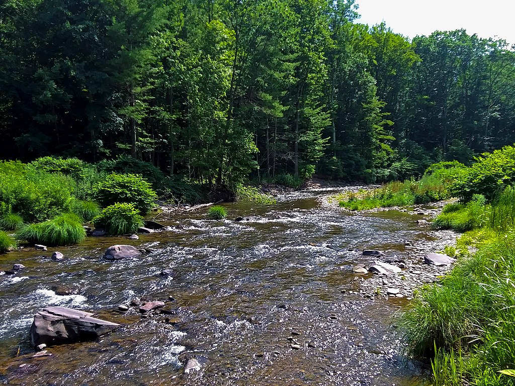
Esopus Creek
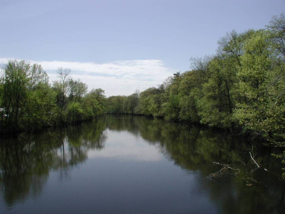
Farmington River
Explore Massachusetts waters
Top paddling waters
Popular Cities
Loading popular cities...
Explore near Onota Lake
Access points
- Onota Lake Boat Ramp
- Onota Lake Boat Ramp
- Water Onota Lake Bridge
- Water W Br Housatonic R Bridge
- Water Sw Br Housatonic R Bridge
- Water W Br Housatonic R Bridge
- Water W Br Housatonic R Bridge
- Water Sw Br Housatonic R Bridge
- Water W Br Housatonic R Bridge
- Water W Br Housatonic R Bridge
- Water Pontoosuc Lake Bridge
- Water Sw Br Housatonic R Bridge
- All 30 spots
Nearby waters
More in Massachusetts

Smarter Paddling Starts in the App.
Paddleways gives you everything you need to plan smarter, paddle better, and own every trip from first launch to takeout.