Paddling in Boston Harbor Islands National Recreation Area
- National Recreation Area
- Open 24 hours
- Lakes
- 0
- Rivers
- 0
- Access
- 0
- Boat Ramps
- 0
- Shops
- 0
Boston Harbor Islands National Recreation Area is an archipelago of 34 islands and peninsulas scattered across the outer reaches of Boston Harbor, sitting where the city's working waterfront meets open Massachusetts Bay.
The paddling here is saltwater touring — ocean kayaking and canoeing across tidal channels, exposed crossings, and sheltered bays — with the skyline at your back and the Atlantic ahead. Most trips originate from the mainland.
The bays at Quincy and Hingham offer the most forgiving conditions for paddlers working their way out to the islands, with shorter crossings and more protection from the open harbor's chop.
Bumpkin Island, a 62-acre island in Hingham Bay, is a natural destination for overnight trips — paddlers who camp there can rent boats by the day from outfitters operating out of Kendall Square in Cambridge.
Peddocks Island, one of the largest in the harbor, is another reachable destination with public moorings available for reservation. Lovells Island draws fewer visitors than the more central islands and rewards paddlers willing to make the crossing.
The harbor's conditions demand respect. Currents can exceed 2 knots, and conditions beyond Fort Independence at Castle Island escalate quickly — steep short-period waves, fog, and reduced visibility are all real possibilities.
Boat traffic is the sharpest hazard: ferries, private powerboats, and commercial vessels including supertankers share these waters, and the larger ships cannot stop or easily see a kayak.
Paddlers are advised to carry proper safety flags and stay alert to vessel traffic throughout any crossing. For emergencies on the water, the US Coast Guard monitors VHF Channel 16.
Response times to the islands run significantly longer than comparable distances on the mainland — self-rescue capability is not optional here, it's the baseline. The harbor is mid-cleanup.
A current initiative led by the Massachusetts Department of Conservation and Recreation and the Center for Coastal Studies is removing marine debris from Great Brewster, Middle Brewster, Outer Brewster, Calf, and Lovells Islands.
The water quality that makes this paddling worth doing is the result of decades of restoration work — and it's still ongoing.
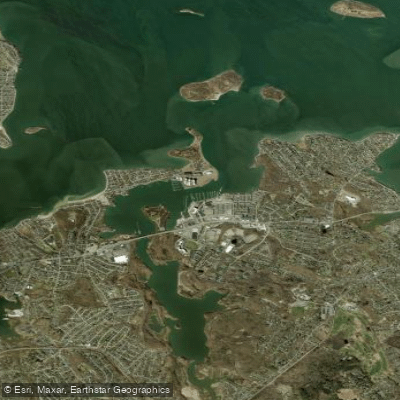
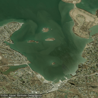
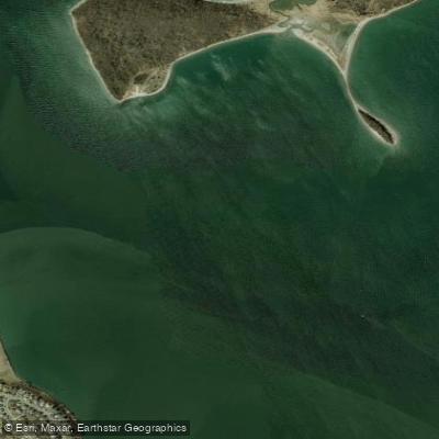
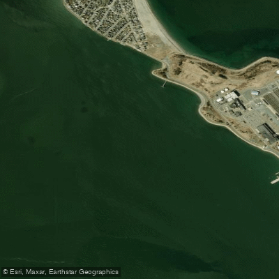
Top waters to paddle near Boston Harbor Islands National Recreation Area


Water and weather conditions (10 day forecast)
See the best times to paddle Boston Harbor Islands National Recreation Area and check the forecast before you go.
No forecast data available.
Park alerts & road status
Closures and conditions Boston Harbor Islands National Recreation Area has posted, from the National Park Service.
Checking the park's alerts…
Hours & fees
When Boston Harbor Islands National Recreation Area is open and what it costs to get in, from the National Park Service.
Hours
Open 24 hoursBoston Harbor Islands is a Partnership park. Operating hours and seasons vary. Visit bostonharborislands.org to plan your trip.
Entrance fees
No entrance fee is listed for this park.
Paddle smarter with real-time insights
Whether you're en route and conditions shift or you're looking for the best spot based on current flows, we enable you to make informed decisions on the fly.







Paddling near Boston Harbor Islands National Recreation Area
Loading...
Other parks in Massachusetts
Gateway towns
Where to base yourself for paddling in Boston Harbor Islands National Recreation Area.
Boston Harbor Islands National Recreation Area paddling rules
The park's own rules, on top of Massachusetts licenses and regulations. Limits, fees and closures change, so check the park's page before you go.

Use VHF Radio for Emergencies
If you have an emergency on the water, use a marine radio to contact the US Coast Guard on VHF Channel 16. Response times to the islands can be far greater than for similar distances on the mainland.

Moorings Available by Reservation
Moorings are available at several islands managed by Boston Harbor Now and DCR. Check the current season's rates and availability before you arrive.

No Alcohol or Pets Ashore
Alcohol, pets, fireworks, and amplified sound are prohibited at island campgrounds and on the islands generally. Service dogs are permitted.
Explore Boston Harbor Islands National Recreation Area
Top paddling waters
Popular Cities
Loading popular cities...

Smarter Paddling Starts in the App.
Paddleways gives you everything you need to plan smarter, paddle better, and own every trip from first launch to takeout.