Paddling near Springfield, MA
Set in Hampden County in the heart of the Pioneer Valley, Springfield straddles the Connecticut River — New England's longest waterway and the backbone of local paddling, with over 400 miles of navigable canoe and kayak water. The Westfield River joins from the west at Agawam, delivering Massachusetts' only un-dam-controlled Class III–IV whitewater, while the Chicopee River flanks the city to the east.
Top waters to paddle near Springfield

Connecticut River
Connecticut, Massachusetts, New Hampshire, Vermont
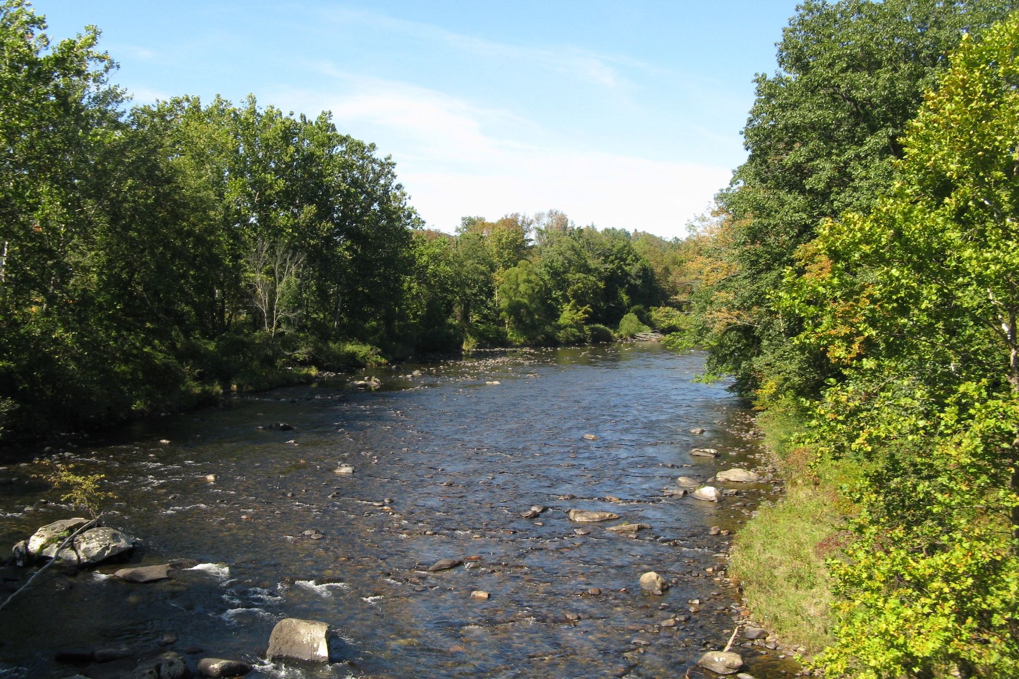
Westfield River
Massachusetts
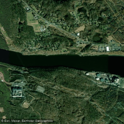
The Straits
Connecticut
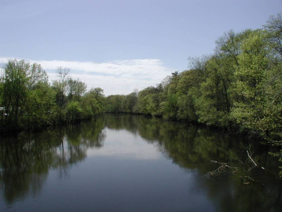
Farmington River
Connecticut
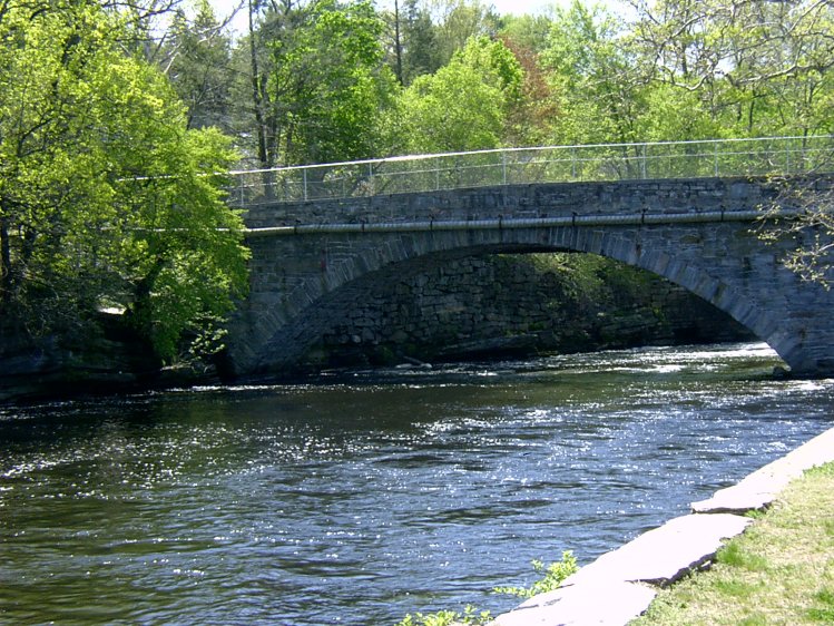
Willimantic River
Connecticut
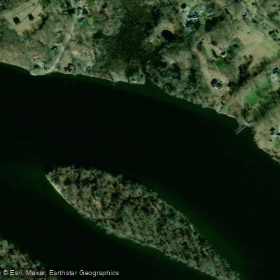
Haddam Island Bar
Connecticut
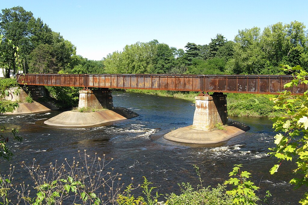
Quaboag River
Massachusetts

Wachusett Reservoir
Massachusetts
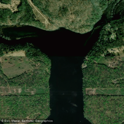
Salmon Cove
Connecticut
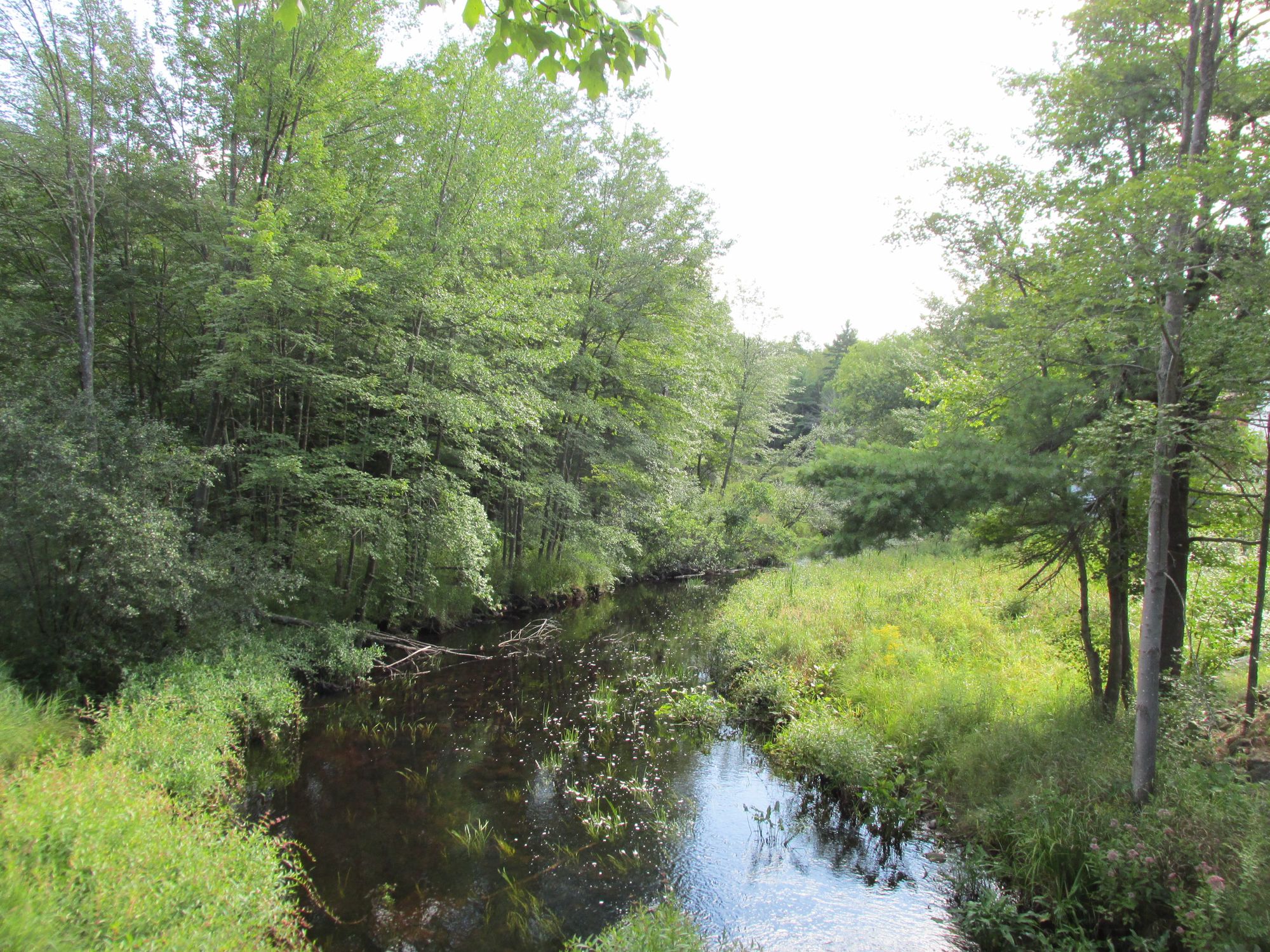
Millers River
Massachusetts
Paddle smarter with real-time insights
Whether you're en route and conditions shift or you're looking for the best spot based on current flows, we enable you to make informed decisions on the fly.







Massachusetts licenses and regulations
Explore Springfield
Top paddling waters
Loading top waters...
Popular Cities
Loading popular cities...

Smarter Paddling Starts in the App.
Paddleways gives you everything you need to plan smarter, paddle better, and own every trip from first launch to takeout.