The Straits
- Saltwater
- Strait
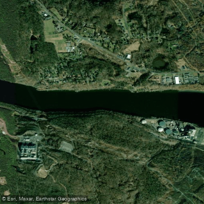
The Straits
- Saltwater
- Strait
- Sq. miles
- 0.2
- Boat Ramps
- 0
- Access Points
- 0
- Campsites
- 2
The Straits of Mackinac is a narrow saltwater channel connecting Lake Huron and Lake Michigan, forming the boundary between Michigan's Upper and Lower Peninsulas. It is a major shipping lane with significant boat traffic. The water body passes under the Mackinac Bridge and flows between several islands, including Mackinac Island, Round Island, and Bois Blanc Island. For paddlers, the area offers open-water crossings under the bridge or across to Mackinac Island, though these routes are for experienced kayakers only. A common and scenic day trip is the 8-mile route around Mackinac Island itself, which features limestone bluffs, dramatic rock formations, sea caves, and Arch Rock. Key mainland access points include the St. Ignace shoreline and McGulpin Point on the Lower Peninsula. McGulpin Point is a carry-in launch site with a gravel and cobble beach, but boulders on the shore and in the water make launching and landing difficult during windy conditions. Waters in the Straits are challenging, characterized by strong currents and waves. Rental services and guided tours are available from outfitters like Mackinac Straits Watersports Rental Co. in St. Ignace and Great Turtle Kayak Tours on Mackinac Island, which provide kayaks and stand-up paddleboards. The shoreline west of McGulpin Point is county-owned, while the shoreline east toward the bridge is lined with homes. Given the exposure, wind conditions are a primary safety consideration, and paddlers must be vigilant of commercial vessel traffic in this busy channel.
Water access, boat ramps & amenities
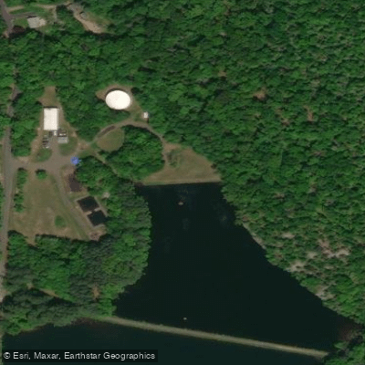
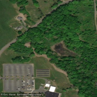
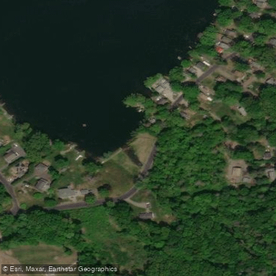
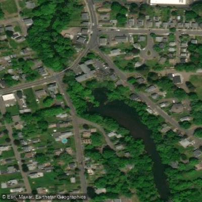
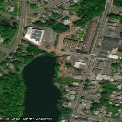
Learn how to get on The Straits. Uncover great paddling access points, boat ramps, and all the facilities you need for an unforgettable day on the water. Some locations shown may border or include private property. Always check property boundaries and applicable regulations before visiting. PaddleWays's Public & Private Land layer can help you plan your access with confidence.
Paddle smarter with real-time insights
Whether you're en route and conditions shift or you're looking for the best spot based on current flows, we enable you to make informed decisions on the fly.








Find Places to Paddle

Over 400,000 Places to Paddle
Every user gets free access to launch points, boat ramps, and public property parcels.


Tides, wind & water conditions (10 day forecast)
On open water, wind and tide matter as much as the weather. See the best times to paddle The Straits and check the marine forecast before you launch.
Loading tide predictions…
Paddling near The Straits

Connecticut River
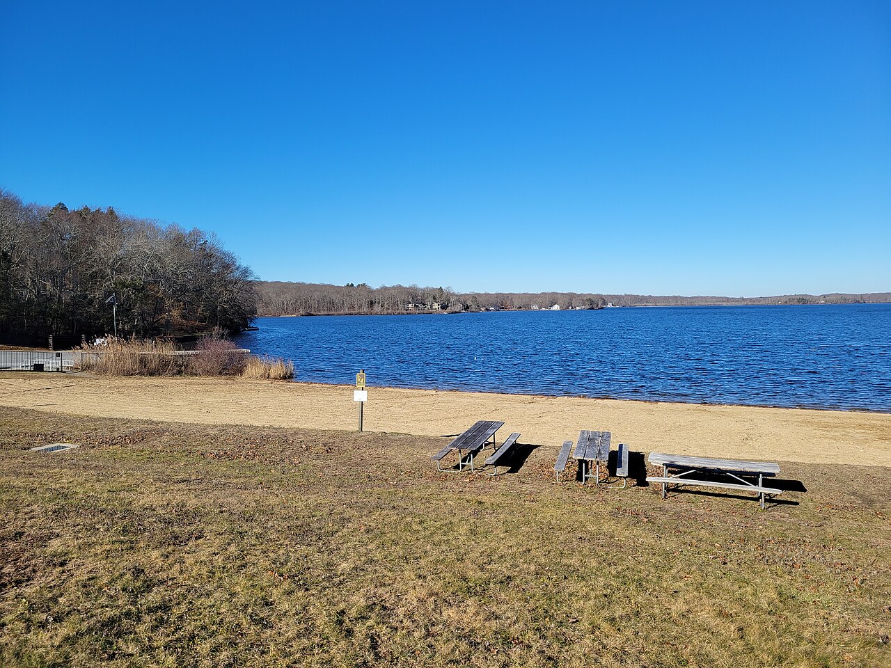
Gardner Lake
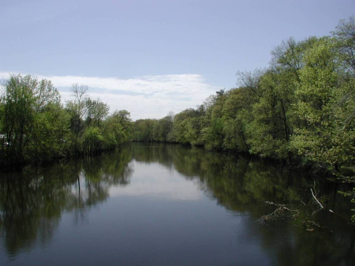
Farmington River

Housatonic River
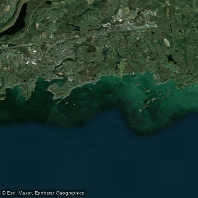
The Thimbles
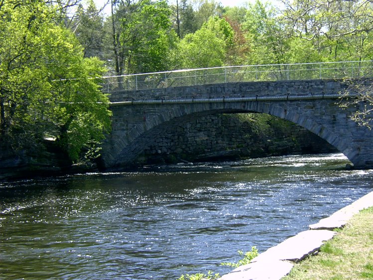
Willimantic River
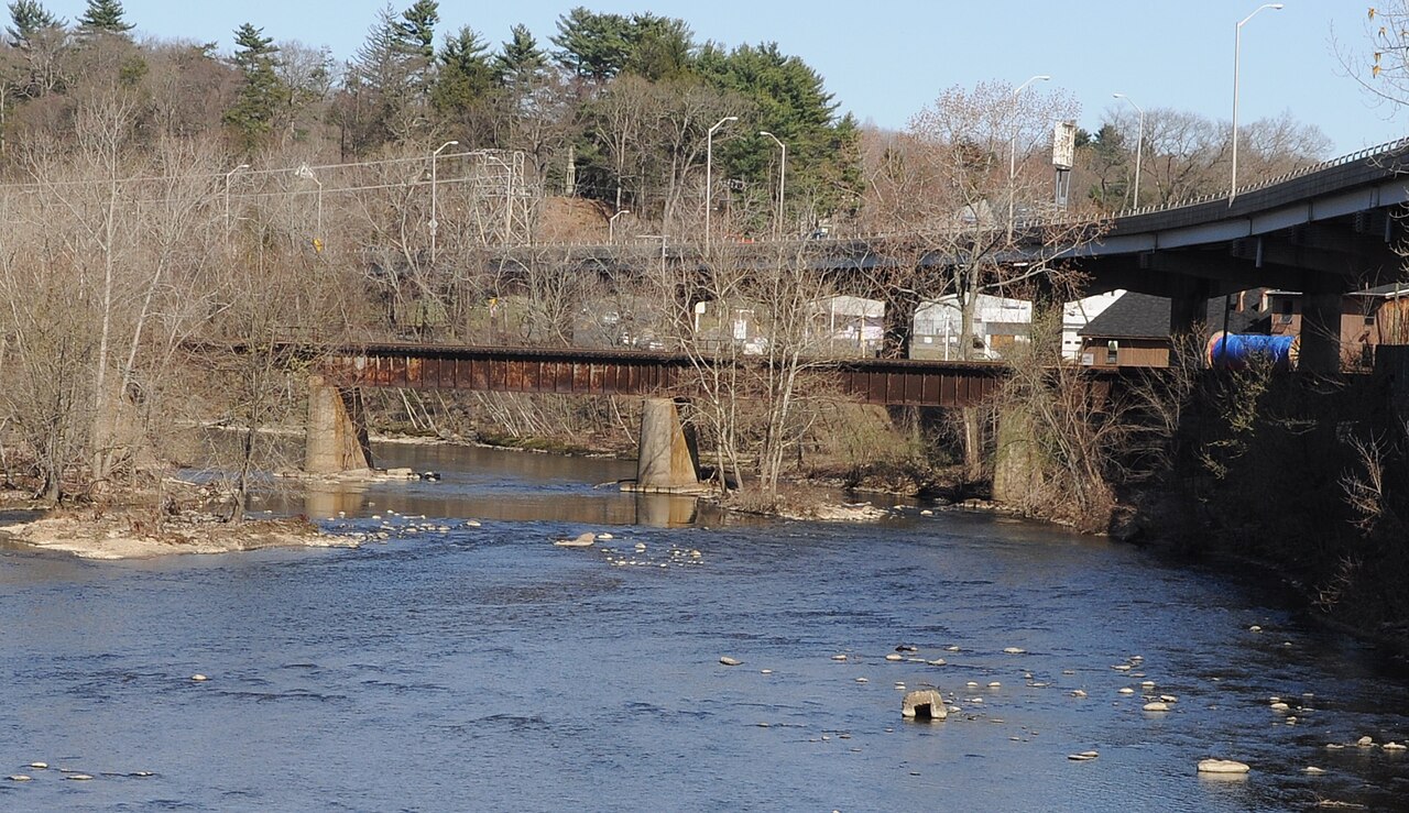
Naugatuck River
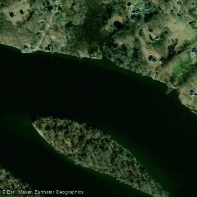
Haddam Island Bar
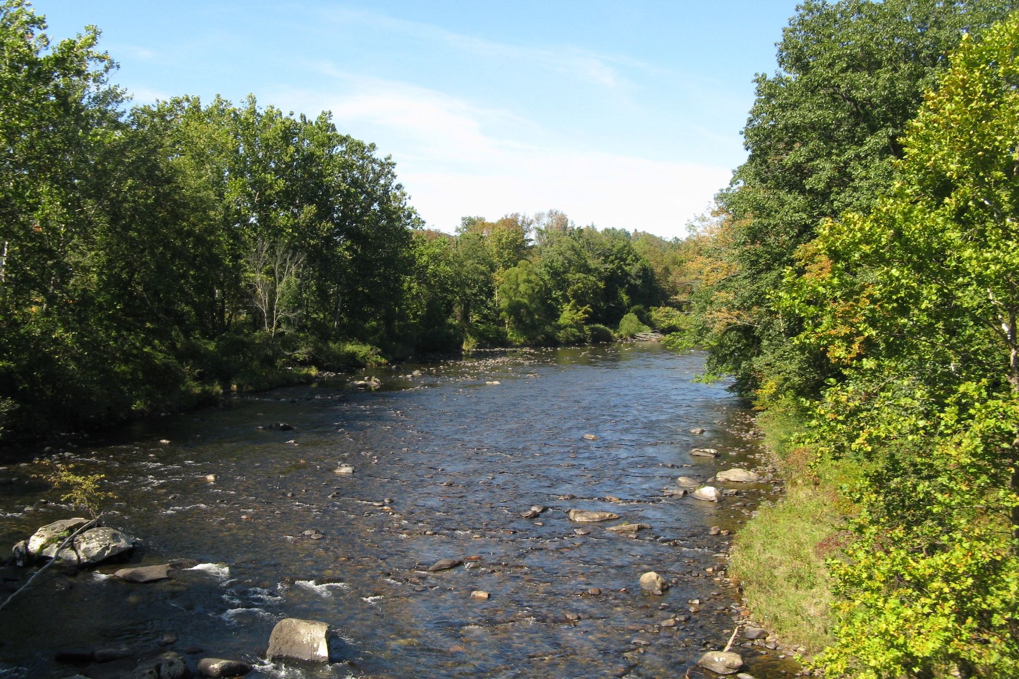
Westfield River
Explore Connecticut waters
Top paddling waters
Popular Cities
Loading popular cities...
Explore near The Straits
Access points
Nearby waters
More in Connecticut

Smarter Paddling Starts in the App.
Paddleways gives you everything you need to plan smarter, paddle better, and own every trip from first launch to takeout.