Millers River
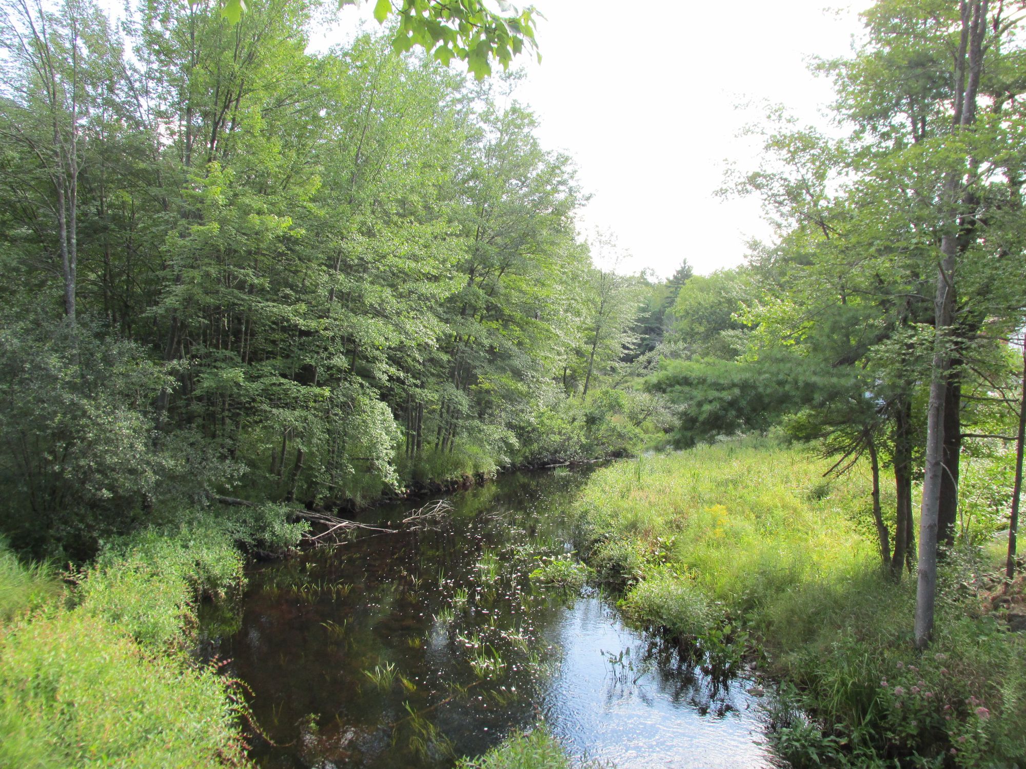
Millers River
- Boat Ramps
- 12
- Access Points
- 25
- Campsites
- 6
The Millers River is a scenic waterway flowing through north-central Massachusetts, offering paddlers a diverse range of experiences from placid flatwater to challenging whitewater. This 52-mile river begins near Ashburnham and winds westward through forested landscapes before joining the Connecticut River at Millers Falls.
Paddlers can enjoy several distinct sections of the Millers River. The Upper Millers, a popular 7-mile stretch from South Royalston to Athol, features Class II-III rapids winding through remote woodlands. This section is ideal for intermediate paddlers seeking a mix of technical challenges and natural beauty.
The Lower Millers, running 5 miles from Erving to Millers Falls, offers more intense Class II-IV rapids, attracting skilled whitewater enthusiasts, especially during high water in April.
For those preferring a gentler experience, the Athol to Orange Blue Trail provides a scenic 6-mile flatwater paddle between the two former mill towns. This section, part of the Millers River Blue Trail inaugurated in 2011, showcases a blend of natural splendor and industrial history.
The river's difficulty varies significantly by section and season. While the Blue Trail is suitable for beginners and families, the Upper and Lower Millers demand more experience and skill, particularly during spring high water. The best paddling conditions typically occur from late spring through early fall, with whitewater enthusiasts favoring the higher flows of April and May.
Wildlife enthusiasts will appreciate the river's ecosystem, home to great blue herons, bald eagles, and various fish species. The surrounding forests provide habitat for deer, black bears, and a multitude of bird species.
Notable landmarks along the river include historic mill buildings in Athol and Orange, remnants of the area's industrial past. The Crescent Street Dam and South Main Street Dam in Athol offer interesting features for paddlers to navigate or portage around.
Access points are plentiful, with popular put-ins at Blossom Street in South Royalston, Alan E. Rich Environmental Park in Athol, and various locations in Erving and Orange. These towns also serve as convenient bases for river trips, offering amenities and historical attractions.
The Millers River holds significant cultural importance, having powered numerous mills during the Industrial Revolution. Today, it's a beloved recreational resource, hosting events like the annual Athol to Orange River Rat Race, a 5-mile canoe sprint that draws participants from across the region.
Safety is paramount on the Millers River, especially in its whitewater sections. Paddlers should always wear life jackets, scout unfamiliar rapids, and be aware of changing water levels. The USGS gauge at South Royalston provides valuable flow information, with ideal levels for the Upper Millers ranging from 500 to 3500 cfs.
While most trips on the Millers River are day excursions, adventurous paddlers can string together multiple sections for longer journeys, camping at designated sites along the way. This allows for a comprehensive exploration of the river's varied character, from its wilder upper reaches to the more settled lower valley.
The Millers River stands as a testament to Massachusetts' natural beauty and rich history, offering paddlers of all skill levels an opportunity to experience the charm of New England's rivers.
Water access, boat ramps & amenities
Learn how to get on Millers River. Uncover great paddling access points, boat ramps, and all the facilities you need for an unforgettable day on the water. Some locations shown may border or include private property. Always check property boundaries and applicable regulations before visiting. PaddleWays's Public & Private Land layer can help you plan your access with confidence.
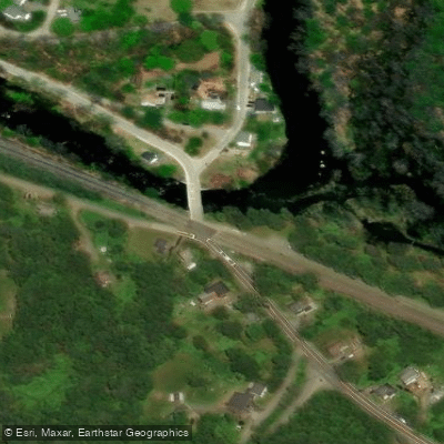
Birch Hill Dam Road Access
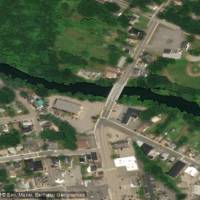
Exchange Street Access
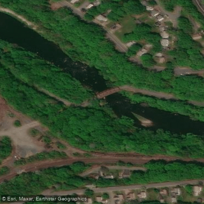
Power House Bridge Access
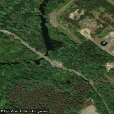
River Street Access
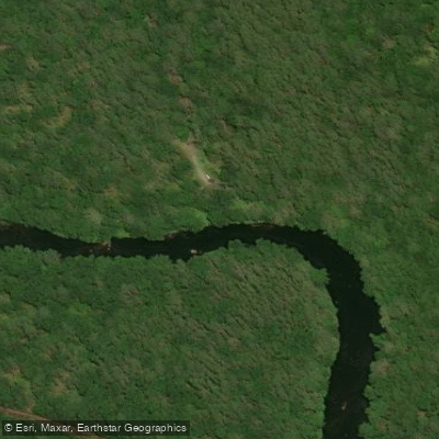
Bearsden Road Access
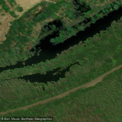
Otter River State Forest Access
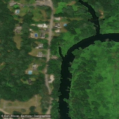
North Orange Road Access
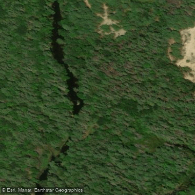
Sibley Road Access
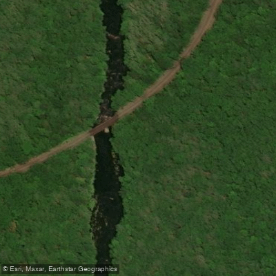
Bearsden Access
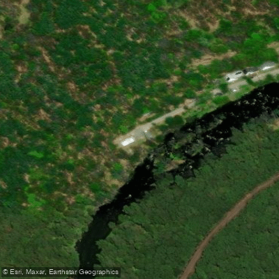
Blossom Street Access
Paddle smarter with real-time insights
Whether you're en route and conditions shift or you're looking for the best spot based on current flows, we enable you to make informed decisions on the fly.








Find Places to Paddle

Over 400,000 Places to Paddle
Every user gets free access to launch points, boat ramps, and public property parcels.


Water and weather conditions (10 day forecast)
See the best times to paddle Millers River and check the forecast before you go.
MILLERS RIVER AT ERVING, MA
All Flow Stations
Paddling near Millers River

Wachusett Reservoir
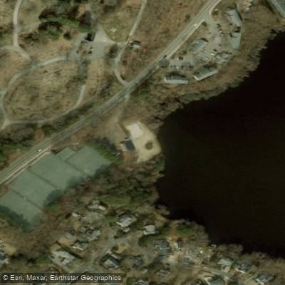
Borggaard Beach
Contoocook River

Connecticut River
Mystic River
Souhegan River

Merrimack River
Malden River
Squannacook River
Explore Massachusetts waters
Top paddling waters
Popular Cities
Loading popular cities...
Explore near Millers River
Access points
- Millers River-Athol Boat Ramp
- Whitney Pond Boat Ramp
- Arch Street Bridge Boat Ramp
- Birch Hill Reservoir Area Boat Ramp
- Cabots Camp Boat Ramp
- Mohawk Trail Rest Area Boat Ramp
- Orange Riverfront Park Boat Ramp
- Birch Hill Dam Boat Ramp
- South Main Street Dam Boat Ramp
- Alan E. Rich Environmental Park Boat Ramp
- Millers River-Orange Boat Ramp
- Millers River-Wendell Boat Ramp
- All 91 spots
Nearby waters
More in Massachusetts

Smarter Paddling Starts in the App.
Paddleways gives you everything you need to plan smarter, paddle better, and own every trip from first launch to takeout.